
Depth of knowledge – the importance of data security when mapping underground utilities

Let’s continue our focus on underground utility detection surveys and their relationship with NUAR – the National Underground Asset Register. This is a UK government initiative that aims to deliver a digital map of the UK that covers all underground assets and will store the data on one digital platform in a secure and interactive manner by the end of 2025.
A day in the life of… Chris Snow, senior land and underground utilities surveyor at Powers
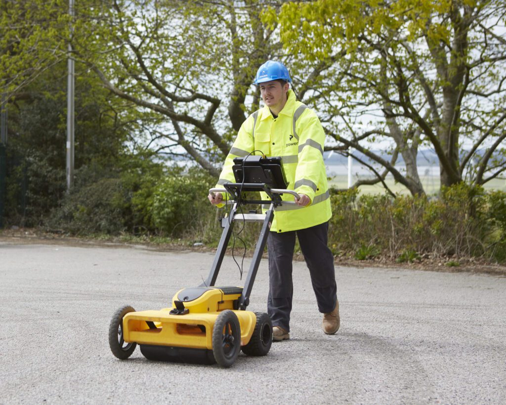
Just a typical day “A typical day would go something like this. Once I have arrived in the office and got a brew, I will check my emails and identify any jobs that need to be quoted for. I will make sure the utilities team know what they’re doing and where they need to be […]
NUAR – what is NUAR and what does it mean for underground utility detection?
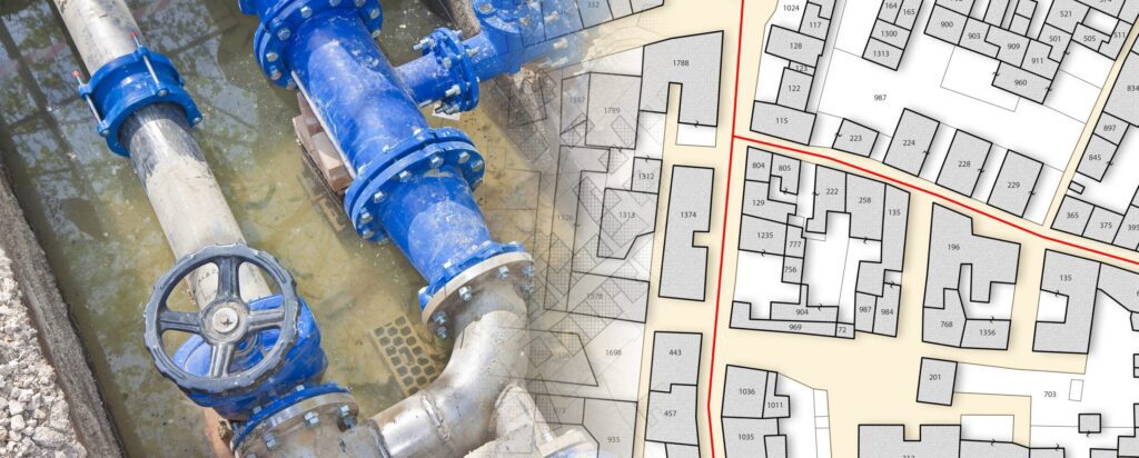
Underground assets The National Underground Asset Register (NUAR) is a government-led programme that is delivering a new digital map of our underground environment. A large proportion of our utilities are buried underground, as well as building and transport infrastructure, such as chambers or tunnels. This includes around four million kilometres of pipework, sewer runs, and […]
Helping to build community spirit
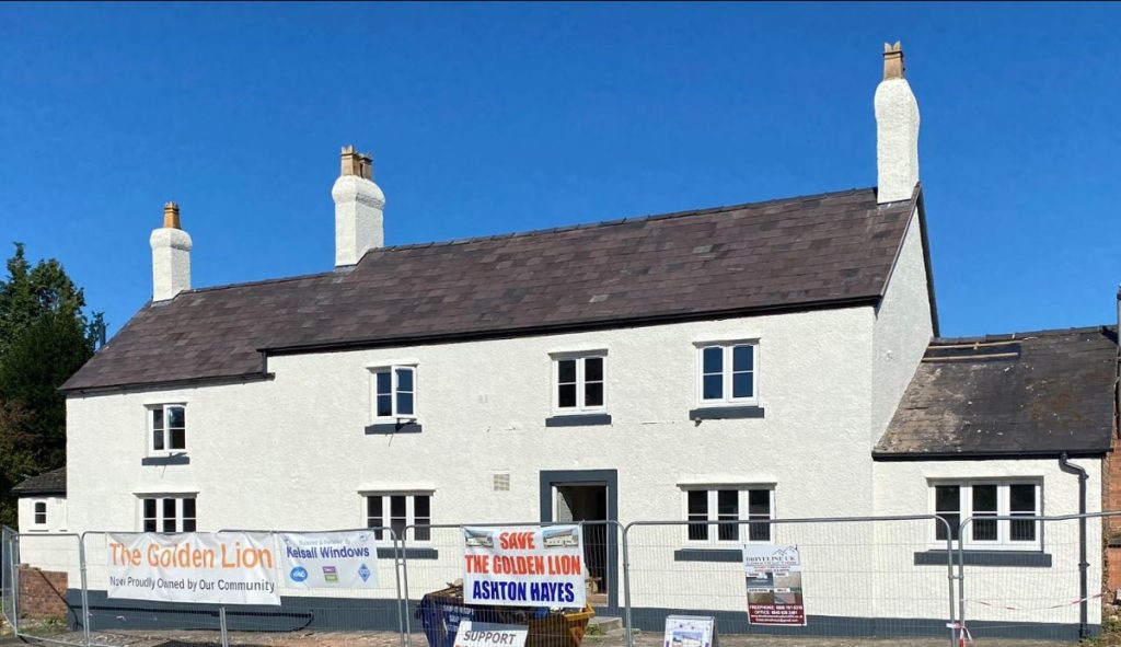
Securing community assets As well as drinks and food, pubs serve so much more to a community. The fact that the Golden Lion has been closed for more than 10 years is such a shame for a village like Ashton Hayes. Initially, the empty building was taken on by someone that simply wanted to get […]
When do you need a drainage survey?
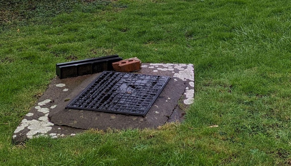
A drainage survey is a way of seeing the damage inside the pipe itself and ideally the pipe should be free of debris. It would be useful carry out power jetting first, before any survey is undertaken, so the pipe is clean, and access is readily available. Though drain jetting should be carried out regularly […]
CCTV drainage surveys – exploring and assessing beneath the surface
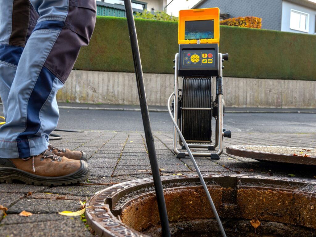
CCTV drainage surveys: an underground overview Usually, a CCTV drainage survey is done by sending a portable, navigable camera along the drain network. When CCTV surveys are requested, there’s usually an inkling of a problem. In most cases, the drain will be blocked or there will be some reason why the camera can’t get down […]
Why is it a good idea to get my measured building survey or underground services detection done at the same time as the topographic survey?
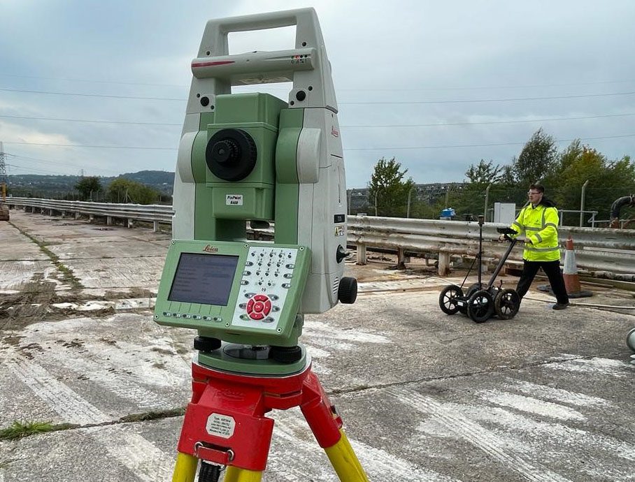
The level of detail a topo provides can help with the understanding – and create the visual representation – of the site. It will also establish what enabling work needs to be carried out before the start of construction, such as the scale of the earthworks required. However, despite this high level of detail, it […]
Powers achieves PAS128 certification
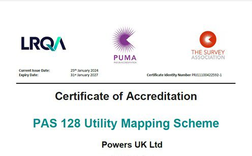
What is PUMA? PUMA – or PAS128 Utility Mapping Accreditation – provides a benchmark and creates a national standard for best practice for underground utility detection surveys. This will give accredited surveyors a competitive edge and will demonstrate their company’s continuous professional improvement. The Survey Association (TSA) has created the trailblazing PAS128 certification scheme specifically […]
What are UU surveys and why are they important?
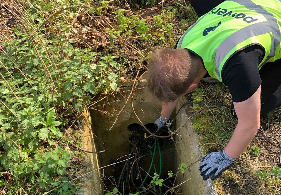
Into the unknown While surface topographical surveys will map what can be seen above ground, ground penetrating radar (GPR) is used to identify and pinpoint what is hidden from sight and buried underground. You’ll usually be looking at developing a site if you carry out an underground survey, but they can also be used for […]
The PAS128 accreditation and why it’s important
Quality and accuracy As part of our geospatial survey offering, we can locate the presence or absence of underground services on prospective building sites. To do this, we use ground penetrating radar (GPR) and other electromagnetic equipment. As a member of the professional body, The Survey Association (TSA), our membership allows us to apply to […]