
site engineering
Turning design intent into precise positions and levels on a live construction site.
What is Site Engineering?
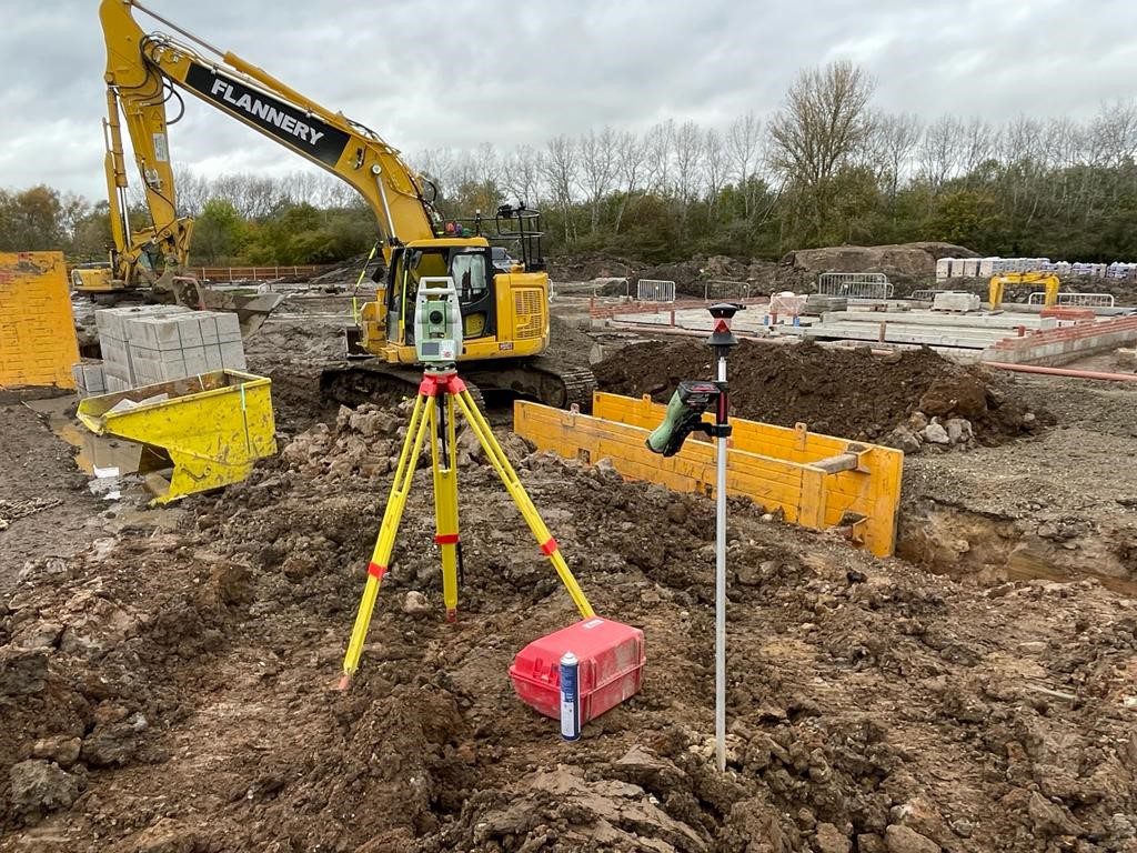
Site engineering is the survey-led process of turning drawings, models and design intent into precise positions, levels and checks on a live construction site. In simple terms, it gives architects, civil engineers, project managers, estimators and site teams a reliable way to know where something should go, what level it should be built to, and whether the work on site matches the design.
It normally starts with robust control and a shared site grid, then continues through setting out, earthworks modelling, machine control, construction verification and, where needed, movement monitoring. Good site engineering is not just about accuracy. It is also about keeping trades aligned, reducing rework, protecting programme timelines, and giving the project team clear evidence when decisions, valuations or handover checks depend on measured facts.
For many projects, the most cost-effective route is to bring in experienced site engineering support when the programme actually needs it — giving you access to high-level survey expertise on a day-rate basis, without carrying the cost of a full-time site engineer on days when no survey input is required.
Applications
- Pre-construction planning and enabling works
- Earthworks, drainage and road formation
- Foundations, pile caps, slabs and steel frames
- Cladding, services, external works and fit-out interfaces
- Quality assurance, adoption, handover and post-construction monitoring
Benefits
- Reduces avoidable rework, delays and abortive cost
- Keeps all trades working from the same coordinates and levels
- Improves budget control with better quantity, progress and QA data
- Supports safer workflows by reducing guesswork and unnecessary re-setting out
- Gives designers, PMs and estimators measured evidence they can act on
- Lets you buy in experienced site engineering support only when you need it
Deliverables
- Site control plans and benchmark schedules
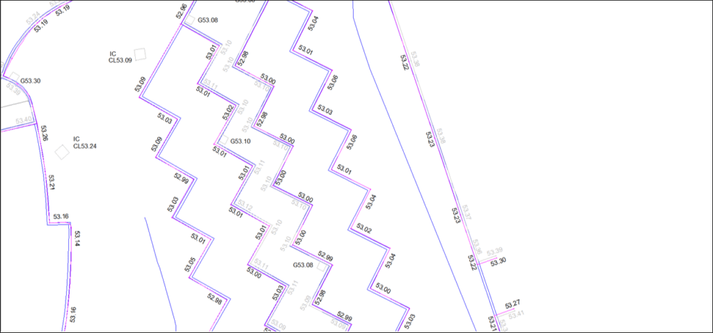
- Set out coordinates, marked points and linework on site
- 3D terrain models, cut/fill outputs and volume reports
- As-built drawings, models and deviation checks
- Monitoring records, movement tables and trend reports
- Machine control files and associated model updates
Why Choose Powers?
Powers brings together long-standing UK construction experience with modern geospatial workflows.
We provide site engineering alongside topographic surveys, utility detection, laser scanning, 3D models, mobile mapping and drone support, so the same team can carry accurate site data from early planning through to construction verification and handover.
We are also used to working flexibly around programme pressure, with responsive office support and experienced surveyors who can attend site when needed rather than forcing you into a full-time overhead.
Our Services
Topographic Land Surveys
Measured Building Surveys
Underground Utility Detection Surveys
Site Engineering
Boundary Surveys
Geospatial Consulting & Support
Why Site Engineering Surveys from Powers?
Clear, accurate building data is the foundation of confident decisions. Our approach ensures your survey works for your project – not the other way around.
The Right Method for Every Site
We draw on setting out, machine control, 3D terrain modelling, laser scanning and drone support – selecting the right combination for your site, your programme stage and your budget.
Consultancy-First Scoping
We help you define the right level of detail for your project stage – avoiding over-specification and wasted cost.
Buy In What You Need, When You Need It
Access high-level site engineering expertise on a flexible basis without carrying a full-time overhead. We attend site when your programme needs us and provide responsive office support in between.
Outputs Everyone Can Use
From set-out coordinates and as-built drawings to cut/fill reports and monitoring records, we deliver in formats your designers, PMs and estimators can act on directly.
Reduced Risk Across the Project
Accurate setting out and construction verification reduces avoidable rework, abortive cost and programme delays – giving your project team measured evidence when decisions and handover checks depend on it.
Related Site Engineering Capabilities
Some services commonly sit alongside site engineering surveys, depending on your brief:
Machine Control
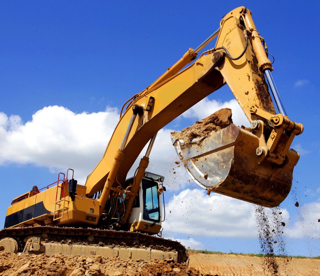
Machine control puts a verified design surface directly into the cab, allowing operators to excavate, trim or grade to the digital model in real time using GNSS or total station guidance. It reduces repeated setting out, cuts operator guesswork and keeps earthworks production moving – with fewer passes, less rework and tighter control of fuel and material.
We prepare practical, groundworks-focused files rather than overcomplicated design exports, and support the live job with control, check surveys, model updates and linked volumetric reviews.
Outputs include machine control terrain files, site control and calibration support, simplified operator drawings, and optional as-built verification after excavation or trim.
Site Engineering Surveys in Action
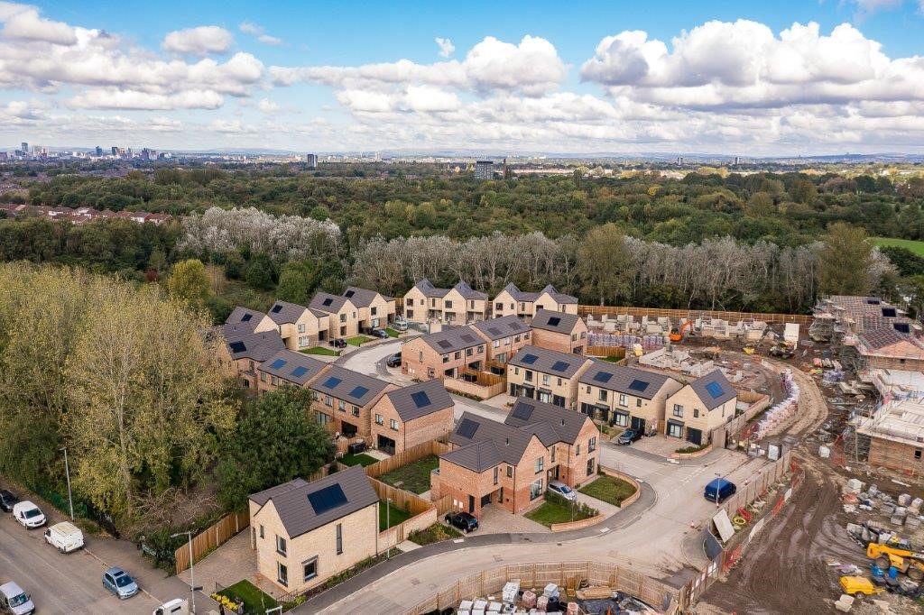
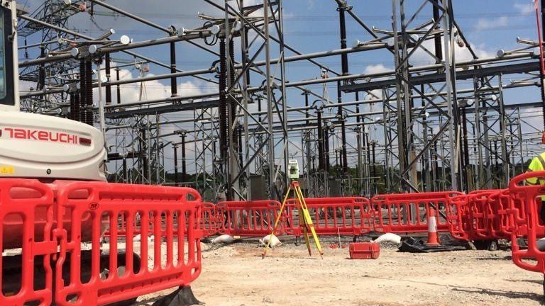
Our site engineering surveys support confident decisions across a wide range of projects. Explore how Powers’ data has helped clients move from uncertainty to clarity.
Supporting Surveys for Complete Site Understanding
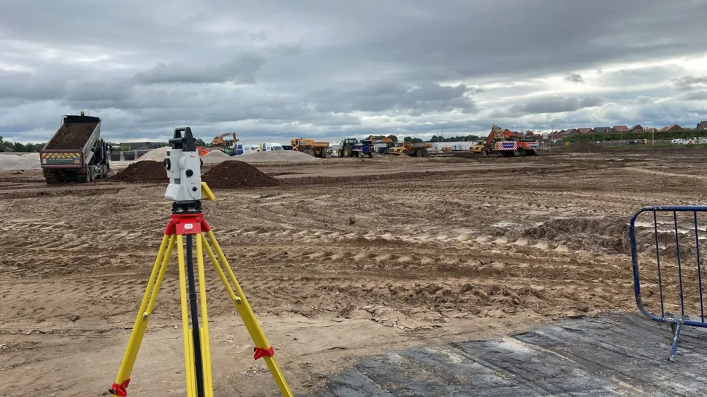
Site engineering surveys often form part of a wider survey strategy. Depending on your project, you may also need:
50 Years of Trusted Partnerships












Start Your Project With Certainty
Need a quote or some more information?
Call 01928 734 473 or send us a message via the form.
By submitting this form, I consent to receive emails from Powers as defined in the Privacy Policy.