
Understanding the first principles of surveying
What are the first principles of surveying? Accuracy and precision Geospatial and land surveying requires precise and accurate measurements to ensure reliable results. Surveyors must adhere to strict standards and use appropriate instruments and techniques to achieve accurate measurements. However, this on its own is not enough. While the equipment can provide accurate data, it […]
A level playing field – specifications and certifications

Specification vs certification Specification means we’ll work to a client’s spec, which can be tailored accordingly, simplified or spec’d up. A specification working to a RICS Code of Measuring Practice (6th Edition) spec, for example, means that we will follow a certain specification for carrying out different types of surveys. Certification means we are audited […]
Visualising future cityscapes – accurate measured viewpoints

Placed in context Urban development is always on the agenda and it’s important to be able to depict how the final results will appear when in situ, in respect to other buildings. We are very involved in this part of the urban development process. As part of our land and buildings surveying services, we offer […]
The importance of innovation in surveying

The price of progress Surveying has evolved over centuries, but the basics of trigonometry, levels and points have remained constants in some form or another. They have been honed and developed, but the end results – such as the creation of new structures, the collection of data and the generation of topographical or underground surveys […]
3D laser scanning: capturing millions of data points in moments
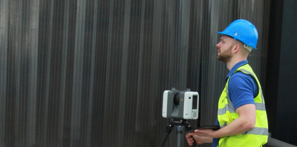
3D laser scanning can also be used for heritage surveys and conservation surveys, as well as volumetric surveys, where land/material mass can be calculated to create a desired outcome – for example, providing accurate areas of volumes for cut/fill balancing, or creating a mound or depression in the land to suit your design needs. What […]
The future of surveying

According to Caitlin Ballard, international policy adviser at the Geospatial Commission: “Location is a thread that allows us to connect different datasets together to make them more useful. Geospatial technology is going to be increasingly embedded in our digital lives. Some commentators have recently coined the phrase ‘geoverse’ to articulate the critical role location data […]
Everything starts with a measurement: the role of geospatial surveys in the built environment
Unless this is your profession or area of interest, there is a good chance you won’t have considered this. However, without well-educated and experienced surveyors, the consequences of inaccurate or no land surveys can be significant. Inaccurate measurements can lead to boundary disputes, costly errors, such as buildings being built in the wrong position or […]
Houses of Parliament: how would Powers conduct a survey of this building?

The Houses of Parliament – a measured building surveyor’s dream What measured surveys would the Head of Restoration and Renewal at the Houses of Parliament need to ensure its ongoing safety and repair? A topographical survey – showing the building within its surrounding environment including gardens, roads and paths leading from street level into the […]
AR – is it the new reality for construction?

AR (Augmented Reality) is no longer something just seen in sci-fi movies from the 80’s, but has become an actual reality in everyday lives. What is AR? AR is an interactive experience for the user. They can see objects around them in their real-life environment. It traditionally uses visual and auditory cues to enhance the […]