Types of Measured Building Survey
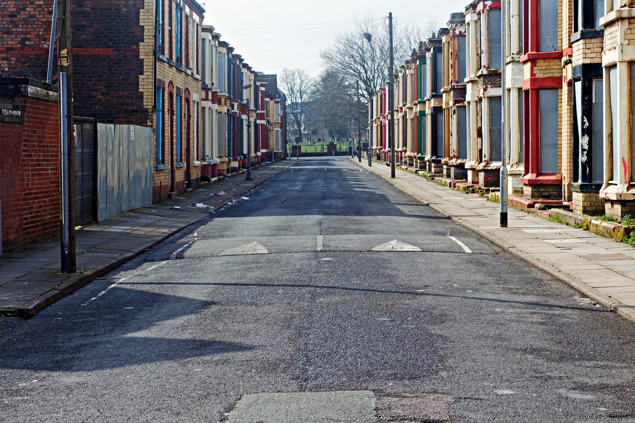
A measured building survey provides a detailed and accurate depiction of existing buildings. This includes the external elevations – which show the full extent of the exterior of a building – as well as internal elevations and floorplans. Elevation drawings are made from a 3D point cloud, which are then converted into 2D line drawings. These external elevations and street scenes provide useful data for heritage projects and building restorations. Externally, this extends to items such as pipework, including rainwater goods, waste and water downpipes. The internal elevations can provide accurate data for renovation projects. They are invaluable in buildings that have evolved over time, where they have been added to, adapted and changed over the years. There may also be height discrepancies and variations throughout the building, which will also be picked up by a measured building surveyor.
Once measured, buildings can be split into vertical sections so that clients can quickly see how the building is constructed, and the gaps between each floor, as well as the dimensions of the rooms including their volume or ceiling heights.
Using equipment such as Leica RTC 360 Laser Scanners, we capture data that provides clients with highly detailed 3D colour point clouds. Our 3D laser scanners are more suitable for complex 3D data integration requirements. The laser scanner has typical data collection rates of two million points per second and an accuracy range of 1.0mm. Measured building surveys show all the architectural elements and features of a building and provide context in relation to any adjacent properties and localised street layout.
Data capture and design
Working at height is rarely required, as our scanners can provide HDR imaging to a distance of 130 metres. Deploying laser equipment also means work can be completed at speed, which minimises time spent on site – this feeds into several factors, from health and safety to efficiency and cost. The level of detail involved is impressive. We can even map and collate data on specific features of historical buildings, such as gargoyles, light fixtures and patterns on windows.
Close out construction problems before work starts
The 3D models using point cloud allows architects and project managers, to create simulations of new designs for renovation and refit. It also helps to anticipate problems with the proximity of utilities, and issues with running cables or unseen obstacles that need to be identified in the building and its surroundings. Issues such as this can be closed out before manpower arrives on site. This mitigates against any changes to designs due to errors, which will always cause delays and incur additional costs. Don’t forget, if you need further information following a review of the site data or you want to add to your specification of features to be picked up, then we can send this extra data to you from the original point cloud.
The 3D models can also be used to inform a digital twin (scan to BIM). Our information can be collated with other data, from other disciplines, to build up an overall picture of a project from design stage onwards. By creating a digital twin, a building can then be observed at any point in its life, which is invaluable to designers and constructors.
If you would like to know more about how we can help you to carry out a measured building survey, then get in touch today.


