SERVICES
Machine Control
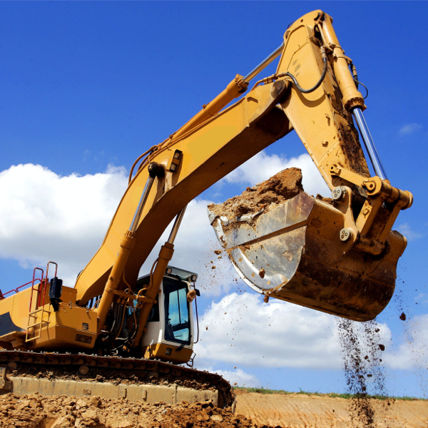
Machine control enables seamless communication between a 3D digital model uploaded to the computer system and its different receivers. These receivers can include equipment such as bulldozers and excavators fitted with computers, and buckets and blades equipped with GPS devices.
Referenced to GPS coordinates, the 3D model enables a more efficient, cost-effective, and accurate machine control on site when preparing the ground for curb lines, drainage and building positions. It is uploaded to the on-board computers of the vehicles, which are then able to interact with the machinery controls. As the machine moves, the GPS documents its real-time positioning. The computer can automatically adjust the buckets or blades to the required surface elevations or excavation depths.
Key Benefits
- No pegs left in the ground to get lost or moved and no returns to site for rectification of pegs
- No need for a permanent setting out engineer on site
- Less site engineers walking between vehicles on site improves Health & Safety controls
- Working to a digital design model increases efficient use of time on site
- Chances of human error reduced
- No waiting time between one lot of setting out and another due to the constant use of the digital model

Deliverables
- Setting up a robust site control network prior to construction
- 3D digital terrain model or string lines in DXF format
- Simplified plan of groundworks relating only to the job in hand, ensuring machine operators are focused on the work to be done
- Sensibly layered 3D line drawing

The site at Grey Mare Lane has been a huge project that will reinvigorate an area of Manchester and enhance its’ residential neighbourhoods. Powers’ contribution to the planning and layout of the site has been invaluable to us. We have been able to locate and map out the complicated service routes, which has further enabled us to make informed decisions and recommendations on how the site can develop in the longer-term. We have worked with Powers on projects in the past, so we were confident of the company’s capabilities and the quality of the survey results.

Get in touch
Need a quote or some more information? Call 01928 734 473 or send us a message via the form.
* INDICATES REQUIRED FIELD


