

SERVICES
3D Ground Modelling and Volumetrics
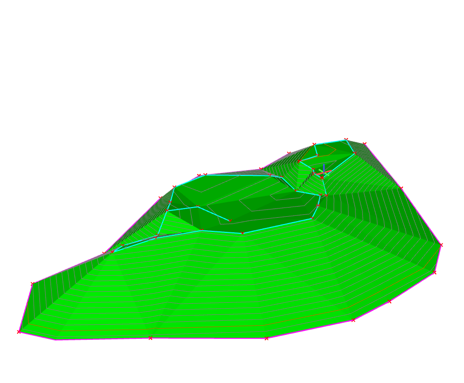
Highly accurate cut and fill calculation of earthworks can be determined using ground modelling and volumetrics. This can be used to support the design process of landscape regeneration. Ground modelling turns a topographical survey, with levels and heights, into a 3D contoured or triangulated map. This provides a visual representation of the shape of the site measured.
Before any ground breaking activities, an initial level survey of the site should be completed in order to obtain accurate Original Ground Survey (OGL) data. Following processing, a digital terrain model (DTM) of the site is created, which can be used as the basis for all further surveys and volume computations. Additional surveys can be conducted at various milestones throughout the project to provide updated 3D digital models that can be compared to the OGL to determine the volume excavated or filled.
Useful in earthworks projects, state-of-the-art software enables different planes of the site to be viewed. Volumetrics is the process by which cubic metres of land/material mass can be calculated to create a desired outcome – for example, providing accurate areas of volumes for cut/fill balancing, or creating a mound or depression in the land to suit your design needs.
Key Benefits
- Comparing the original ground model of an area with a new ground model will show what land has been removed or added. This can be used to assist disputes regarding landfill or excavation
- Volumetrics identifies the materials available, and the cut and fill material required, to create the desired landscape. This is helpful for landscape projects, including golf course design and areas of urban regeneration
- To view large areas of land to be re-landscaped, remediated or regenerated, we can produce an isopachytes analysis drawing, to show areas requiring cut and fill in a colour plan
- Accurate volume survey calculations enable earthworks monitoring during construction, ensuring that time is not wasted excavating or moving incorrect volumes of materials
Deliverables
- 3D contoured ground model
- Isopachyte analysis drawings
- Volumetrics survey including data
- Cut/Fill survey including data

We always strive to work with local businesses, and Powers has continually been able to deliver excellent surveys for our projects. The company’s background surveys – be it the restaurant, gym or more recently the spa – ensure that the project has a solid grounding from the outset and are the origin of how the projects then go on to take shape.

Get in touch
Need a quote or some more information? Call 01928 734 473 or send us a message via the form.
* INDICATES REQUIRED FIELDSurvey Partner All rights reserved.
© 2026 PowersUK Ltd


