

SERVICES
Mobile Mapping
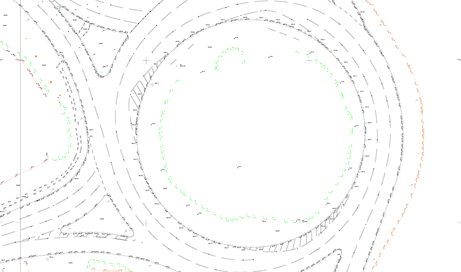
By equipping a vehicle with GNSS, photographic, radar, laser, LiDAR or any number of remote sensing devices, we are able to capture vast amounts of data quickly. With mobile mapping there is no need for expensive traffic management, which causes delays by waiting for permission to close a road. The outputs include GIS data, 2D digital maps or 3D digital models, and georeferenced pictures or videos.
The capture of 3D geospatial data from a moving vehicle platform is made possible by mobile mapping technology. An inertial measurement unit that produces a smoothed vehicle trajectory, to which a 3D point cloud and 360-degree imagery are referred.
Collection of geospatial data is conducted with two surveyors, who will drive the route before work is to commence. This enables them to plan the best route, with the most GPS coverage and to scope out traffic. To ensure the data capture is accurate, various ground control points are placed along the route. By comparing the co-ordinates of the ground control points, the team are able to enhance the accuracy of the point cloud.
Please fill out the inquiry form below to get in touch with one of our expert surveyors for a no-obligation quote.
Our team of expert surveyors have many years experience, making them the perfect choice to discuss your project in more detail and provide the best survey solution from our extensive list of measured survey services.
Key Benefits
- Ideal for roads and highways
- Captures over 12 miles of geospatial data in a day
- No need to arrange traffic management, which can be costly and time consuming
- Accurate geospatial data capture
Deliverables
- 3D digital models
- 2D digital maps
- Georeferenced pictures and/or video

As the contracts Manager for MC Construction, I’m responsible for overseeing several sites and schemes at once, and I am also involved in the design development. For MC Construction to be able to help Royal Mail develop this existing site, we needed a lot of vital underground information on the location. Powers were able to provide us with an underground utility survey, that was clear and accurate, enabling us to be able to place the Hydrobrake in the most efficient position and excavate the car park, without putting our team and others in danger.

Get in touch
Need a quote or some more information? Call 01928 734 473 or send us a message via the form.
* INDICATES REQUIRED FIELDSurvey Partner All rights reserved.
© 2026 PowersUK Ltd


