

SERVICES
Accurate Measured Viewpoints
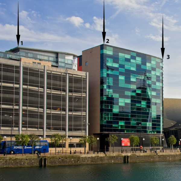
Accurate measured viewpoints provide a visual representation, with precision positioning of buildings in a cityscape. They are increasingly being requested by planning authorities to help improve understanding of the impact of a project within the current landscape or skyline.
Using photography and hi-tech precision equipment, our team can exactly pinpoint where a building will be placed within an urban setting. This level of accuracy enables the architect to clearly communicate their designs to planning teams. This makes it easier to understand and reliably assess the new building in its true context.
Key Benefits
- Advanced techniques create positive planning outcomes
- Accurate measurements are taken at precise points and submitted to the client via marks on an image and co-ordinates within a table
- Clear insight into the new building’s place as a physical presence in the cityscape
- Ability to design and place a new building into the skyline which will be a measured visual representation of the finished construction
Deliverables
- Accurate co-ordinates and data sets relating to existing digital photographic features within proposed development images
- A 3D AutoCAD file showing co-ordinates of the position of buildings around the proposed site

Building the Maggies Centre at Clatterbridge was an incredibly important project for The Steve Morgan Foundation and ultimately for the people the centre will support. Creating the right environment at such a difficult juncture for these visitors is vital, and understanding the site was an important part in achieving this. We appreciate the support and pro bono services provided by Powers.

Get in touch
Need a quote or some more information? Call 01928 734 473 or send us a message via the form.
* INDICATES REQUIRED FIELDSurvey Partner All rights reserved.
© 2026 PowersUK Ltd


