

Client name:
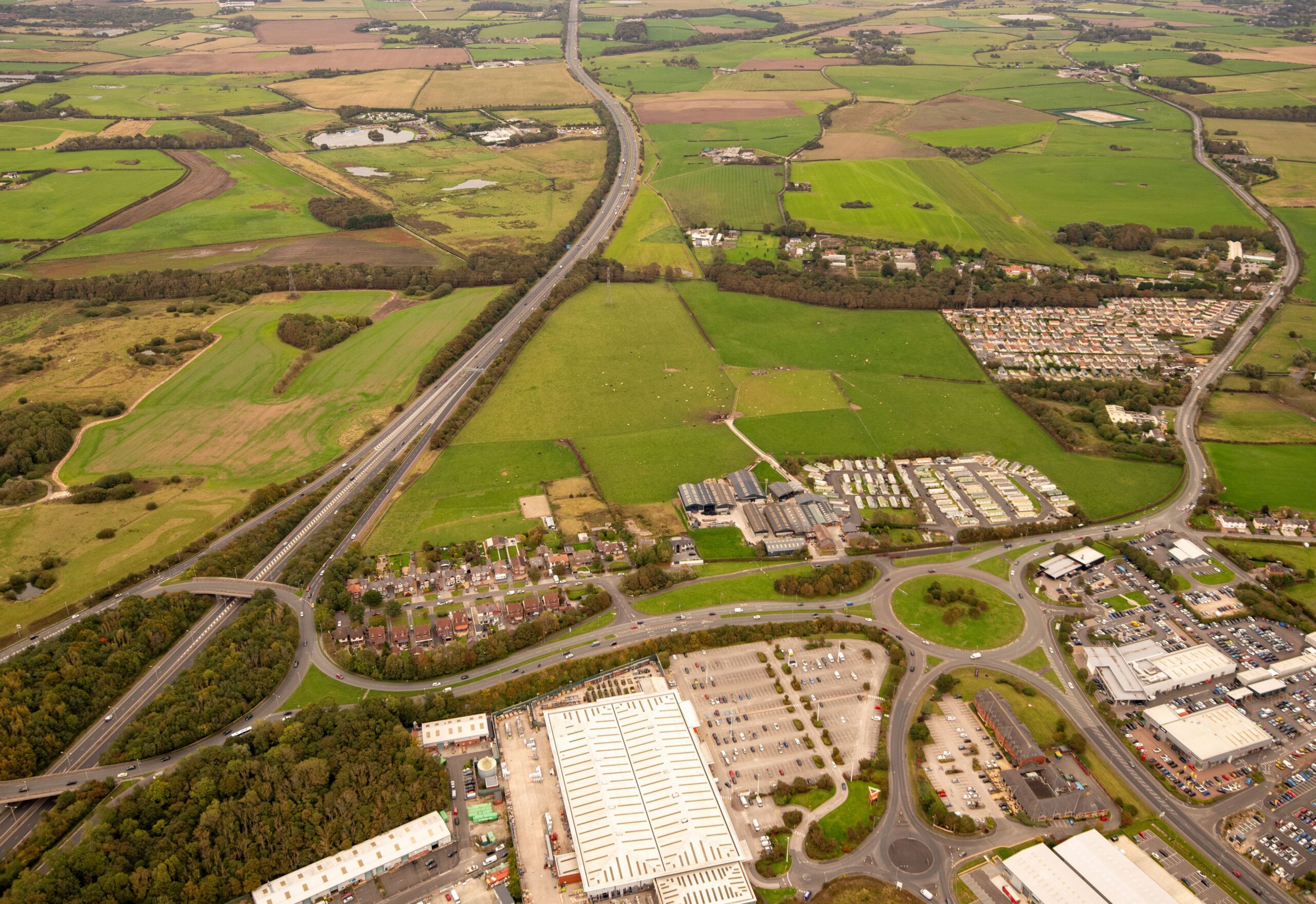
Peel Hill Farm
Sector:
Housing
Deliverables:
- Extensive topographical survey, including:
- Farm buildings, fields, caravan park
- Extending to access roads around the site
Project description:
The Fylde Local Plan to 2032 provides the statutory framework guiding development, housing, employment, and environmental protection across Fylde borough, incorporating a Partial Review to address updated government policy and housing needs. It provides a comprehensive framework for land use, development, and community planning.
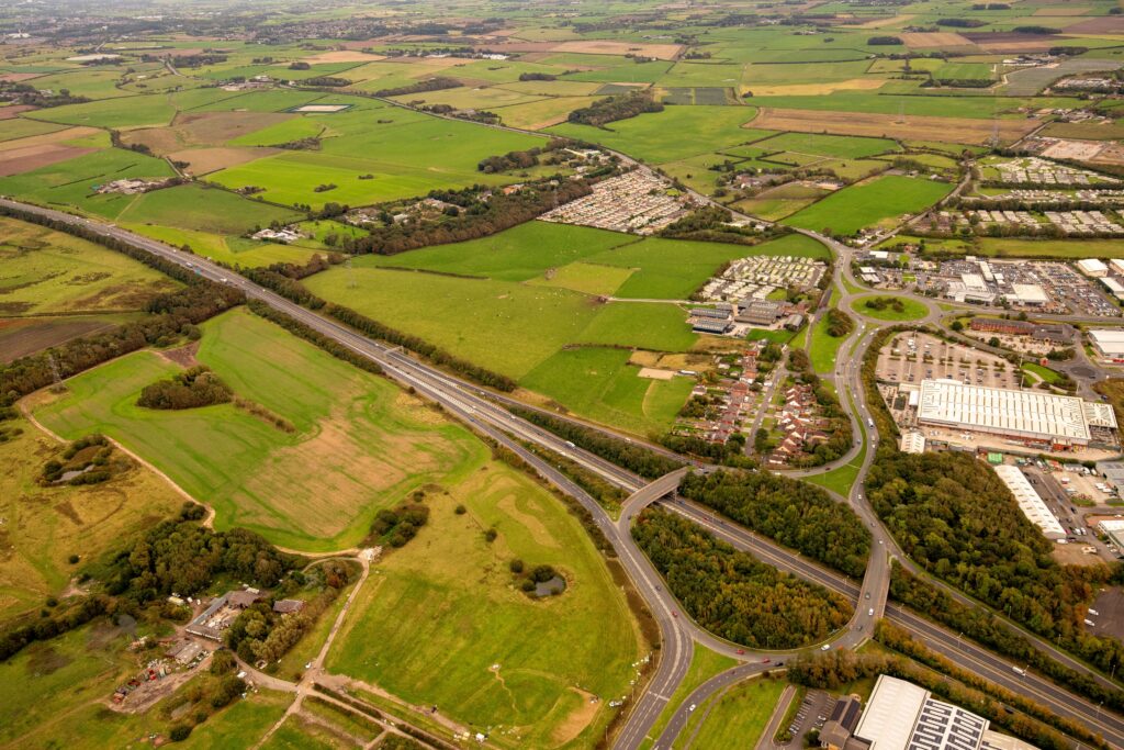
Peel Hill Farm, owned by Strategic Land Group (SLG), falls within the Fylde Local Plan and covers an area of over 72 acres. It has been identified as having the potential for a residential development in the order of 700 new homes.
Client requirement:
As part of the process of developing a Master Plan for the land, with a view to gaining future planning approval, Strategic Land Group commissioned Powers Geospatial Consultants (Powers) to undertake an extensive topographical survey.
SLG identified the need for a comprehensive topographical survey to ensure that:
- It had the necessary technical data information to meet council requirements
- The site boundaries were identified and confirmed – different organisations currently hold different boundary data (OS/Land Registry etc), and it is important that one version of truth exists
- Tree surveys and hedgerows were identified and recorded
- Cross sections of watercourses as well as certain levels were mapped and recorded.
Outcome:
As the site covered such a large area, the topographical survey was carried out using Global Positioning Systems (GPS) equipment which covers large tracts of land quickly along with total stations for spot measurements. Despite the size of the project, the work was completed over five days, as Powers was able to use an original historic topographical survey that the team had carried out for SLG some years previously, bringing it up-to-date, whilst saving the client time and money.
The final survey was provided as 2D and 3D drawings in AutoCAD and PDF, and provided all the necessary detail. It will form a fundamental part of the process going forward, from the design and planning stage, through to the engineering, development and commercial phases, as well as providing valuable information to specialist and regulatory organisations.
A baseline for project feasibility
Throughout the project, the client will use the survey as the definitive baseline for project feasibility, land valuation and due diligence. Once SLG has secured planning permission for the land, it will look for a developer to purchase it.
However, some of the initial uses for the topographical survey will include the architect using it to inform site layout, building positioning, massing and access design when developing the Master Plan and the planning consultant, who will reference it to support planning applications, demonstrate site constraints and address planning policy requirements. In addition, the landscape architect will need the accurate depiction of the contour and feature data, to design the external spaces, drainage, planting and levels. The Highways consultant will also use the information in the survey to design the site access for the adopted road.
A collaborative tool with multiple uses
In addition, the information within the survey will help the ecologist to cross-reference topographical features with habitat and biodiversity assessments. The flood risk/drainage consultant will use the accurate levels to model surface water flow, flood risk and drainage strategy and the utilities consultant will use the survey when plotting existing and proposed service routes.
Further in the process, following planning approval and once a developer has taken on the project, the project manager will use the survey information to coordinate the design team inputs and manage the site constraints, while the civil engineer will need to be able to rely on the accurate levels and features to design roads, drainage, utilities and earthworks. The quantity surveyor will reference levels and site extents, to calculate earthworks volumes and inform cost planning, and the structural engineer will need the site levels and boundary data to inform foundation design and ground floor levels.
Saving time and money
“We have worked with Powers for many years. My relationship with the business even predates SLG, and we have used the company on all sorts of projects. They are always easy to work with and responsive, and we are guaranteed a good quality output, which meets our needs and is accurate to the millimetre when necessary. Over the years, we have worked with various other survey companies and not had the same experience.
“In fact, on this project, the team realised that they had carried out an earlier topographical survey on the same land, so were able to use the original survey as a basis to develop the new survey, saving us time and money.”
Paul Smith, Director SLG