

SERVICES
Boundary Surveys
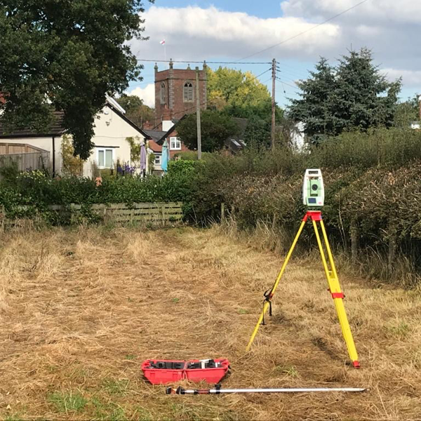
A fair and honest viewpoint will win your case. Boundary disputes can be hard to determine, but our Boundary Surveys provide an accurate record of where your boundary exists versus Land Registry documents or historic title deeds.
The legal boundary is an imaginary or invisible line that separates properties, while the physical boundary is often hedges, walls or fences that can be seen. While Ordnance Survey and The Land Registry Office work closely to show the general boundaries of a property or area when the land is first registered, over time the OS map or Title plan of your property may become out of date compared to what is on the ground.
Key Benefits
- Review of Land Registry Documents versus the property’s physical boundary to determine any boundary creep
- Expert key witness with experience, knowledge and an unbiased viewpoint of boundary disputes at court level
- Expert key witness that considers the needs of the client as well as the solicitor representing the client and the case to be disputed
- Determination of individual parcel boundaries
Deliverables
- Base plan showing accurate location of existing boundary features
- Production of Land Registry compliant plans
- Accurate record of where your boundary exists versus Land Registry documents or historic title deeds
- Swift boundary resolution through an unbiased, experienced viewpoint
- Determination of individual parcel boundaries or the subdivision of land
- The provision of lease and conveyance plans, boundary demarcation. Assessment of land areas for sale
- Civil Court compliant boundary report

Powers is based locally to Christleton and so the team were already familiar with the area. They provided a detailed topographical survey, which enabled us to develop our plans, which aim to improve the environment and benefit the local residents

Get in touch
Need a quote or some more information? Call 01928 734 473 or send us a message via the form.
* INDICATES REQUIRED FIELDSurvey Partner All rights reserved.
© 2026 PowersUK Ltd


