

Why do I need an Underground Utilities Survey?
You’ll most likely need an underground utilities survey if you are looking at developing a site for construction. It doesn’t matter if a site has been built on before – a brownfield site – or if it is undeveloped prior to the project – a greenfield site. Both can conceal all manner of hazards. An underground utilities survey can pinpoint metallic and non-metallic services and obstructions, both live and obsolete.
A brownfield site could have a lot more underground obstacles, if buildings and infrastructure have stood on the site in the past. There could be the remains of roads and certainly foundations of buildings long since demolished. If the site is in an urban environment, there could be many different services and utilities passing across the site or in the vicinity. These could still be in use – for example sewers and drains – or they may be long gone, such as electrical cabling that has been cut off from power sources and made safe and redundant, or underground cavities or foundations from buildings since knocked down.
Rural or greenfield sites can also harbour such hazards and both brown and greenfield can have historical remains on site too. These can cause a problem, as anything of historical or archaeological interest will have to be excavated by professionals – in the same way that any site that has potentially endangered wildlife on, must engage with environmental groups, to safely clear the site without impacting the wildlife further. Items of historical interest can be a problem, as if they represent a significant find, they could cause delays to a development’s progress as they are excavated and cleared. As well as what is underground, an underground utilities survey can be carried out in conjunction with a topographical survey, to make an exhaustive map of the specified site, tying together above and below ground data.
Going in-depth for data
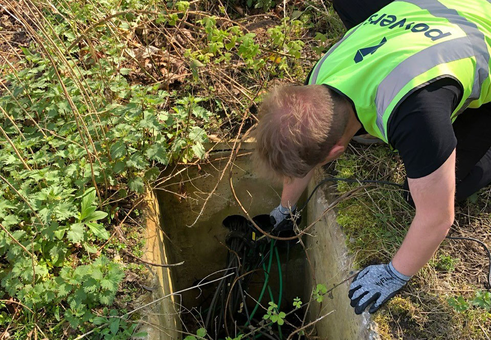
A comprehensive underground utilities survey will glean a wide-ranging amount of data. Using the most up-to-date ground penetrating radar and digital equipment, the data can be collated and then deployed to create incredibly detailed digital maps, in both 2D and 3D formats. The wealth of detail that can be included can result in a truly interactive sense of what is underground. You can see depths and widths of pipes and ducting, positioning of manholes and the pipes that serve them, septic tank chambers, foundations, anything that can be deemed a hindrance to excavation or construction. One of the biggest hazards on sites are underground chambers, tunnels or voids whose entrances have been buried long ago, but still exist as underground entities. These can be very dangerous to construction contractors if left undetected.
The mapped images and drawings are useful at the planning and design stage, allowing architects and project managers to see what obstacles currently exist and put plans in place to mitigate them or dig in the correct place to verify utility services. Maps of underground services are also useful at the construction stage too as they support groundworkers to work safely around services whilst preparing the ground for the next construction contractor. The issue of health and safety is an important one for on-site workers. Having a clearer picture of what lies underground goes towards safeguarding them on site, as staff can steer clear of contentious areas that could cause challenges.
The key utility and obstruction items we identify are water, power, gas, telecommunications, fibre optics, drainage, fuel and oil supplies.
For sites that are in your preconstruction pipeline, get in touch with us to book in an underground utilities detection survey today.


