

The sky’s the limit
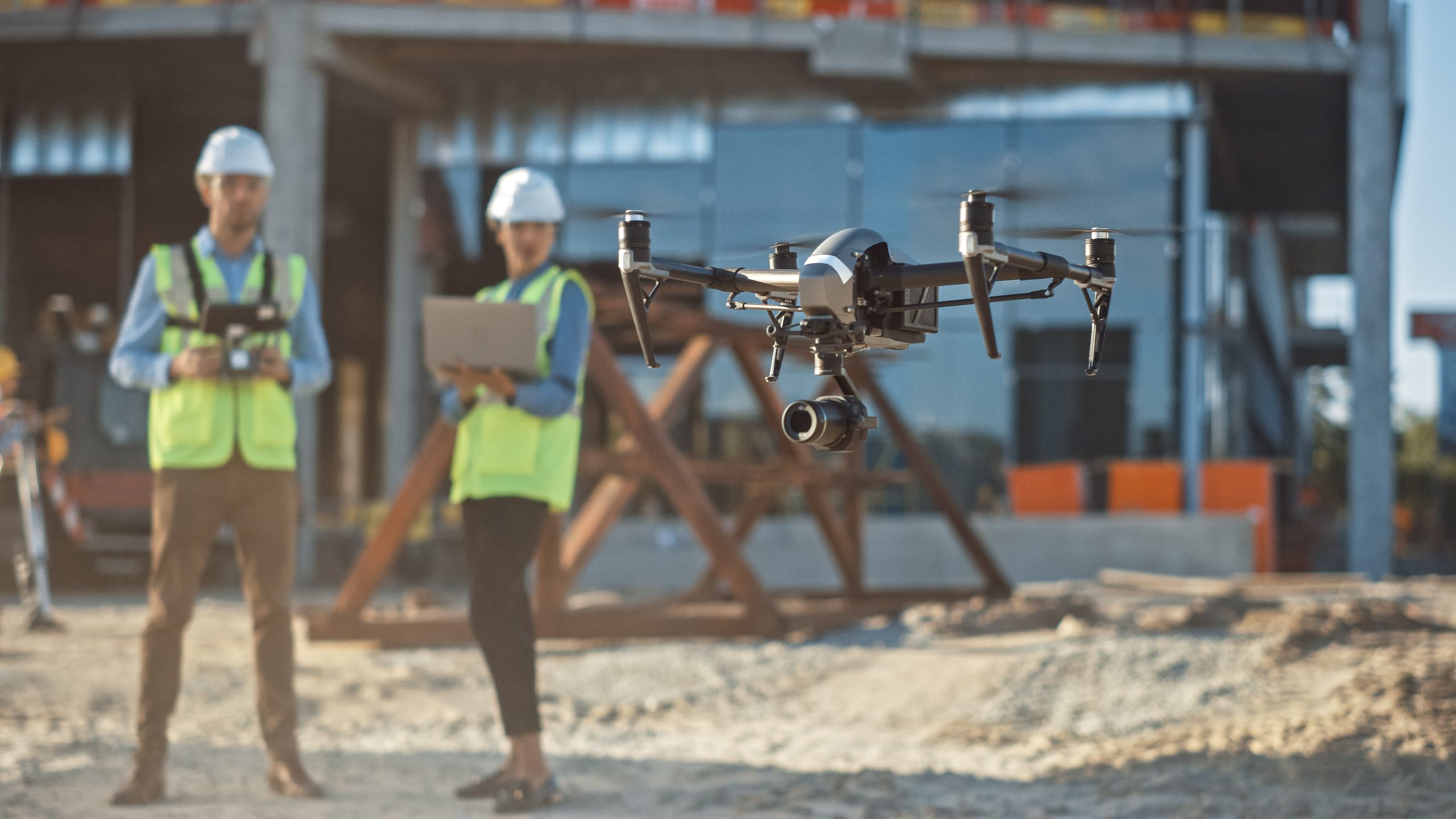
Drones are robotic, flying remote controlled craft fitted with cameras and onboard data gathering equipment. They are also called Unmanned Aerial Vehicles or UAVs. Drone surveys can be useful for land surveying and cartography, urban planning and development, construction and planning, environmental studies and research, and volumetric measurement. They’re an excellent way to plan large projects, as they can quickly gather large amounts of data over wide and varied terrain, in a short space of time.
Drone data can be used to create high-quality 2D plans and 3D models. This can be an important part of the design and construction process. Although, it should be noted that drones currently have a lower millimetre accuracy level then survey equipment used on land such as total stations and scanners. For locations that have poor-quality data, or obsolete, dated or even no current relevant data, UAV surveys can produce high-resolution photogrammetry and intricate 3D models.
They make it possible to swiftly and efficiently construct accurate cadastral maps, especially in challenging or difficult-to-access areas – for example, in rugged terrain, highly built-up areas or busy traffic intersections. They are also useful for site feasibility studies. These can be combined with land-based topographical or underground utilities surveys, to build a complete picture of the layers of complexity of a site. They also show the design potential, challenges and hazards that lie within it. In this way, they really are useful in so many different instances.
Clear for take-off
The result of the popularity of drones – both for commercial and recreational use – has led the government to introduce a variety of rules and regulations regarding drone flights. They are dangerous pieces of kit when used by non-professionals and can cause considerable damage to both people and objects if collisions and crashes occur. There are separate rules for commercial operators and recreational hobbyists, however.
Commercial use means that the drone operator has been engaged to fly the drone for a customer, in return for payment. It is a service that the client has no control over – the pilot of the drone is responsible for the craft. Drones weighing 250 grams or more must be operated at least 150 meters away from parks, industrial areas, residential zones and other built-up locations. If the drone is equipped with a camera, the operator must register for an Operator ID with the Civil Aviation Authority.
Insurance is also mandatory for commercial drone use. Permissions will need to be sought if the drone is to be flown over residential zones, for example, as this is an invasion of privacy. The drone must not be flown higher than 400 feet above the ground and if it’s to be used near an aerodrome or restricted low-flight area, it may not be possible to use the craft. The CAA may grant permission though, if the survey is a one-off and can’t be carried out any other way.
Working at height
Using drones on site can make great sense economically too. Time spent on site is vastly reduced and large areas can be surveyed 10 times quicker than traditional survey methods. This level of efficiency can make a big difference to a budget. However, the level of accuracy of a drone survey may be less than land-based survey equipment and plans should always clearly indicate when a drone has been used to collect data. Drones are especially useful in reaching inaccessible areas, such as masts, towers, roofs, tall buildings, bridges, wind turbines and other engineering structures. There’s a health and safety aspect to consider too. They’re ideal for projects which may be deemed dangerous, as it reduces risk, by capturing data from the air without the need to be ‘working at height’.
If you think you have a project that would benefit from a UAV survey or would like to enquire about what drone surveys can deliver for you, then get in touch today.


