

Identifying constraints
Constraints are any features that can influence the location of the project. Specific examples of constraints include existing infrastructure (such as roads, railways, underground services and access and egress issues), archaeological and heritage sites (including national monuments), elevated topographic details (such as mountains and hills), bodies of water (like rivers and lakes) and designated or protected areas (such as SACs or Special Areas of Conservation). Any of these features may influence the extent to which an area can be developed. They will need to be mapped and logged for reference, locating features within the confines of the site map.
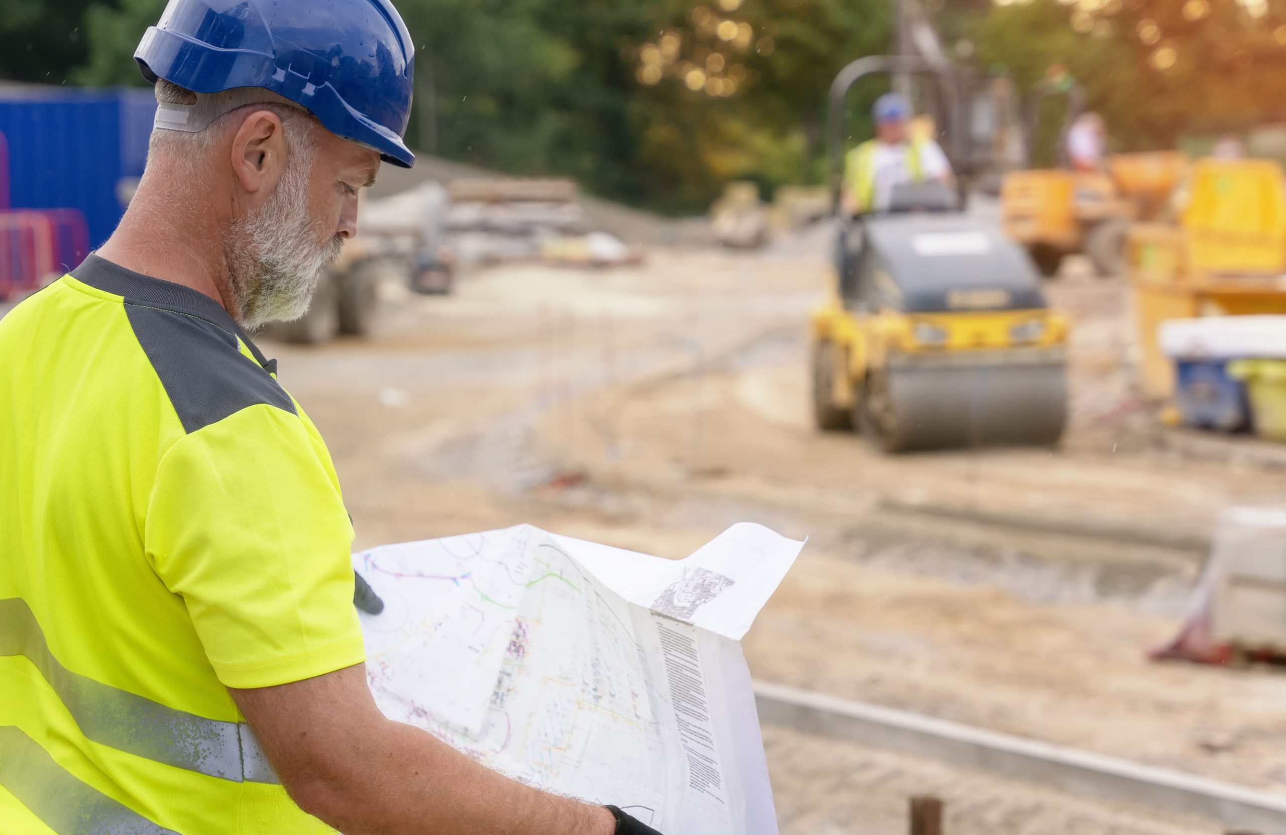
Knowing what lies under a site and the topography of the site itself allows design teams to design out any risks and hazards to ensure a smooth build. Therefore, it’s essential to build up a picture of what exactly the site entails.
Constraints drawings will look at and map:
- Underground utilities services
- Drainage direction and connection to the mains network
- Existing buildings and their condition
- Adjacent buildings and how close and high they are, which could cause problems with the sequencing of a build
- The undulation of the ground for levelling purposes.
Some of these aspects – the direction and location of drainage and underground pipework, for example – will be data that may exist somewhere else already. But often over time, changes can occur to a site. These may have been overlooked by landowners or developers, so that land registries and other records are not updated. Having up-to-date, accurate information is imperative. We can carry out work, such as underground utilities surveys and CCTV drainage surveys, to pinpoint exactly the location and condition of below ground features.
Category of constraints
Before any design work takes place on a site, we can implement a programme of surveying works. This will pull together what type of surveys are required to define the category of constraints that might be present on the site. Topographical surveys for instance would define what natural and manmade features are present above ground. This would include existing buildings. Further investigation would be needed to work out their condition and what might be required, if necessary, to make them safe. This might be anything from remedial and repair work to demolition.
Having the knowledge of constraints surveys can help designers and structural engineers work out space planning or reroute drainage or underground utilities from under the footprint of a proposed development or building at the design stage. This could save money and erase obstacles before work starts on site. Adjacencies allow designers to plan how to bring works on site and what the implications are for the disturbance of the ground on nearby buildings. All of this goes into a Constraint Report, which becomes a guidance document that prompts the design and construction team to check that the risks and hazards are being closed out.
If you are at the planning stage of a development, engaging a surveyor to provide the measured data for a constraints report would be beneficial. Get in touch today to find out how we can contribute to the compilation of your guidance report that maps out the potential constraints of your project.


