

What is a drone survey?
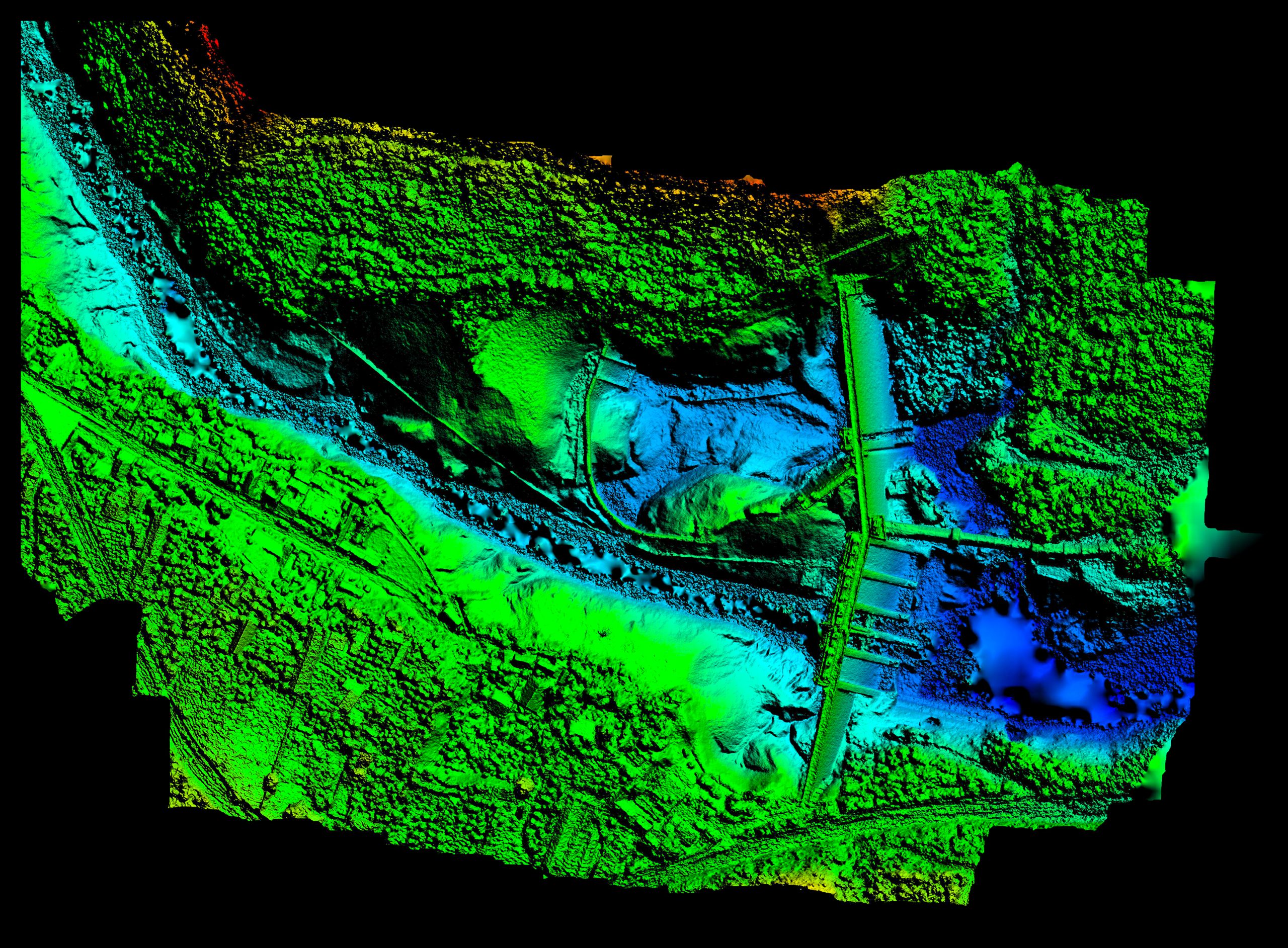
Drone surveying is the process of acquiring data from an aerial viewpoint. Combining images or a LiDAR scan produces a high-resolution image. These images each carry a set of 3D coordinates, which enables further processing to assemble them into a sketch with accurate measurements. The practice of autonomous drone mapping involves employing a drone to create accurate drawings right away.

Why Are Surveying Companies Using Drones?
Drone technology is being embraced by many surveying firms for a variety of factors, including decreased costs and improved accuracy. The following are some of the most typical reasons for deploying drones to execute your project:
- Cost savings – using drones can drastically reduce the amount of land that needs to be surveyed. The project will therefore be less expensive.
- Turnaround time – speeding up the capture of site data is always advantageous. The time a survey team must be on-site can be greatly reduced by using drones to survey a project.
- Obtaining crucial information from inaccessible locations – if a site needs to be developed but there are access problems or it is challenging to navigate the terrain, a drone survey would allow architects and engineers to see the area without the need for a surveyor to enter the area.
What Can Surveying Drones Do?
There are many different things that drones can do, but some of the most popular ones are as follows:
- Obtaining land data – using a drone to collect data, or information about the land can be gathered without having to walk the entire area. Field data includes things such as the type and height of vegetation, land topography, and soil composition as well as the features on the land such as kerbs, pathways, streams, and buildings.
- Creating models – using a drone with photogrammetry to create a 2D or basic 3D model of the land.
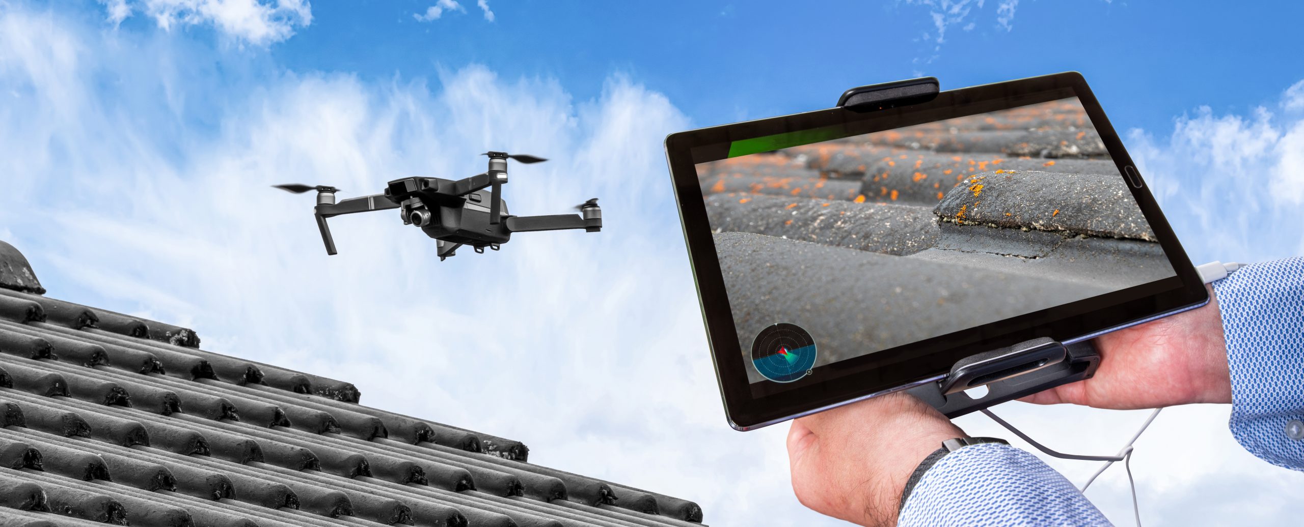
- Thermal maps – drone surveys can recognise areas on a building with abnormal features, such as cracks, and damaged areas that are producing leaks of heat or water. Drone work, with the right person, permits and licenses, can be conducted safely, with minimal accidents.
How can drones benefit land surveying and mapping?
The key benefit of using drones to collect data is the ease and speed with which it can be done all at once. Drawings, that can give the feasibility of a piece of land for a particular purpose, can be made by uploading all the data and photographs that a drone collects while flying over it. This saves a lot of the time and effort that would otherwise be required to physically collect the data by traversing the land.
Drones can offer a birds-eye view of an area that would not sometimes be possible, which is another benefit of using them for surveys. This can be quite useful for quickly and cheaply determining the contour of the land, preparing a feasibility study, and identifying any development concerns that could have gone unnoticed otherwise.

What are the disadvantages of using drones in surveying and mapping?
Whilst there are many benefits to using a drone for surveying, it still has some drawbacks. These include:
- Permits and Licences – Applying for permits and licences to fly a drone over a particular piece of land, especially if it is near a conurbation or high-risk area (airport), may take time and a great deal of effort to coordinate.
- Bad weather conditions. If the weather is deemed unsafe (rain, high winds, cloudy) the drone will be grounded until the weather improves.
- GPS Signal. As drones use satellites, the results can mean there is data which is out of range or in the wrong locations.
- Battery life. Drones have a shorter battery life compared to the Total Station and laser scanners used for surveys. If large areas need surveying, multiple drones will need to be used.
- They can cause damage if flown too close to infrastructure or people.
- Loss of connection. Interference with other devices that use the same signals may cause the drone to lose connection and as a result, will need to be grounded.
- Aerial surveys can be unreliable when it comes to flat ground. If the terrain is flat, an aerial photo can’t capture smaller details/objects which are smaller than the camera size, when taken from a certain height.
- Drones are easy to crash and can be damaged if not flown correctly or with the right permits and licences.
- Lack of detail – companies such as Powers, are approached by clients who have had drone surveys completed on their sites. A drone survey will cover a vast amount of area and it does show large areas, such as wooded areas, but more detail was needed.
What is Geofencing?
Drone surveys cannot be conducted in all areas without permission, which must be obtained prior to starting any survey activity. Drones are subject to the virtual, immaterial enforcement constraint known as geofencing. It establishes an invisible barrier that will prevent the drone from flying into restricted airspace using GPS, WiFi, radio frequency, and the internal software of the drone.
There are several safety issues that need to be resolved before drones become a commonplace practise in the surveying sector because they are still a relatively new technology. How to prevent a drone from colliding with people or objects on the ground is one of the most important safety challenges. Geofencing is a method of achieving this. As well as having a professionally trained drone operator, who understands the laws, the correct permits and licences needed to complete the work. Buildings and other restricted areas can be surrounded by geofences, which will prevent the drone from flying through them.
Will drones replace surveyors?
While drones have become increasingly popular in land surveying, they will not fully replace surveyors any time soon, although they will become part of the arsenal of equipment that a surveyor uses when assessing what equipment to deploy for a project. There are still many factors that need to be considered when surveying with drones, and there are some areas where drones simply won’t work. Some of these areas include:
- Air space above 400 feet
- Moving vehicles
- National parks
- Prisons
- Stadiums/Racetracks
- Events
- Military bases
As surveyors are able to adapt to drone technology and find ways to improve the drone surveying process, they will continue to be an important part of the land surveying profession and help it to grow.
Drone surveys are a service provided by Powers. Contact us directly for a quote by ringing us at 01928 734473 or email surveyors@powersuk.com
Main image source: Adobe stock images


