

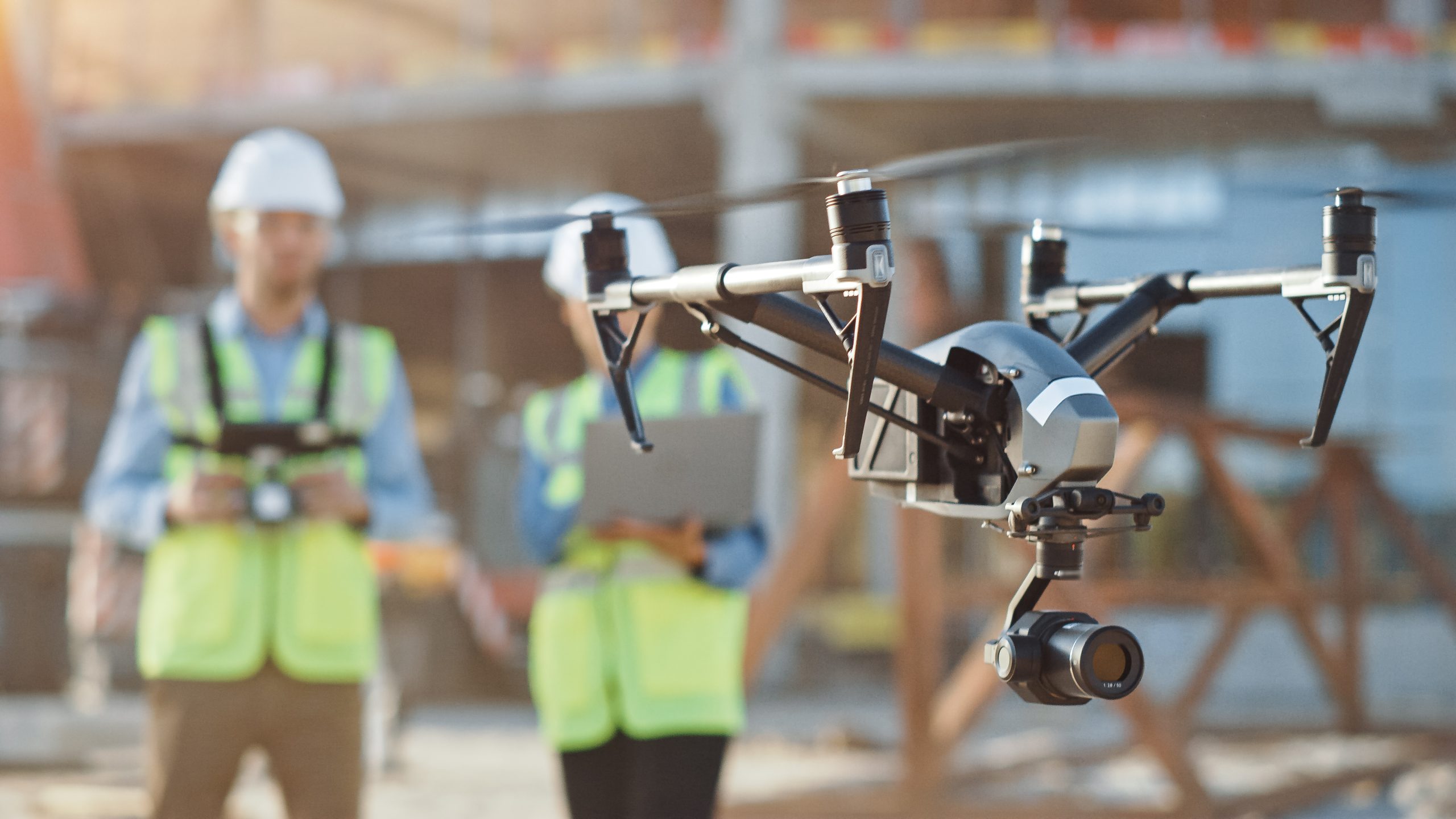
Drones are revolutionising the way we survey large pieces of land.
With a drone, you can cover more ground in less time, and the aerial data collected can provide high-resolution images and detailed maps of the land.
From infrastructure projects to land surveying, drones are making it easier to collect data quickly, accurately, and safely.
If you need a UAV survey of your site, you can contact us for a quote.
You can contact us at 01928 734473, email surveyors@powersuk.com or DM us on social media


