

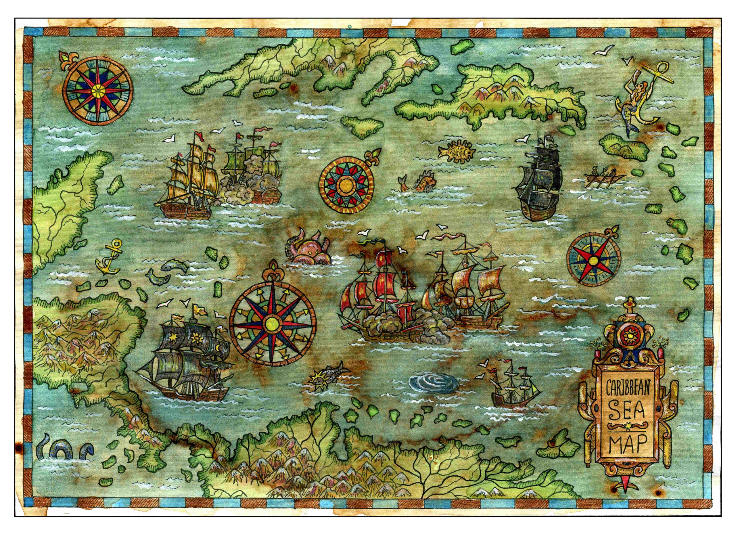
Charting through history: revolutionising the process and accuracy of mapmaking
Mapmaking, or cartography, has been around ever since humans walked the Earth – and needed to record features and routes through local terrain. There’s no definitive answer as to who invented mapmaking, as prehistoric examples have been present in many cultures, from the earliest examples on cave paintings and etched images on bones and tusks, to extensive mapmaking in ancient civilisations in Babylon, Greece, Rome, China and India. Over time, developments such as aerial photography, advanced digital land surveying techniques and equipment, and the widespread availability of satellite imagery, has completely revolutionised both the process and the accuracy of mapmaking. From the maps made in Babylon and Medieval Europe (the so-called Mappa Mundi) which depicted Earth as a single landmass surrounded by water, we can now easily zoom in on most areas of the world, using Google Earth. At the touch of a button we can see imagery collated from satellites.
Learning from the past
Maps and charts in the ancient world were made using accurate-if-basic surveying techniques. They measured the positions of various objects, by calculating the distance and angles between each point. The surveying equipment was a series of ropes and chains that were cut to known lengths, with physical or magnetic compasses to measure the angles. If they needed to measure angles between points that were further away and over greater distances, they would use magnifying glasses or small telescopes that were attached to the compass. Both mapmaking and modern surveying use legends – the explanatory symbols relating to details on the drawings – and they play an important part in telling the story of what is depicted. But while ancient mapmakers would use ‘here be monsters’ to define the undiscovered and the unknown areas, today’s land surveyors cannot be so vague.
As we carry out surveys, we are collating highly-detailed information about a landscape and its features that will then be compiled into usable, readable data. Just like old charts and maps, the types of surveys we carry out – such as topographical surveys and underground services surveys – tell a story. They depict an evolving landscape or building, and the changes that have occurred there over the decades. A digital 3D twin model, for example, will chart the story of a building and the myriad ways it will change over its lifetime. We can learn from data generated by a building, to predict how it will behave and where and how it can be maintained over time.
Topographic surveys: a fascinating snapshot
Overlaying topographic surveys from various points in a landscape’s evolution will build a picture of what has changed. You might see the various developments that have taken place over the years, such as more density in terms of properties in the area. This might demonstrate how land has been developed, how councils and developers have carried out neighbourhood development plans, for example, and how greenfield and brownfield sites have been commissioned to be utilised for housing or industry. They can often offer a snapshot of how urban or rural construction has evolved over the years, with the changes to planning laws and designs echoed in what has been built, knocked down, rebuilt, redeveloped, repurposed, or renovated – for example, the transition from terraced housing to high-rise, especially in areas with high population density.
Underground services surveys can reveal aspects from the past
Underground services surveys too can reveal aspects from the past – old foundations from long-forgotten buildings that no longer exist above ground, or tunnels or earthworks from the past that have been long-since buried. This along with all the usual drainage, electrics, cabling and other services that an underground services survey will reveal. It’s a fascinating field of surveying and one that can often unearth some big surprises.
The precision required to carry out land surveys is as important as for any mapmaker. So in terms of accuracy and content, it’s important to only engage experienced, qualified surveyors. If you would like to know more about the various types of surveys we can perform and the topographical data we can provide, then contact us today.


