We can carry out these surveys for a number of reasons, from an evaluation of the plot’s worth, for a feasibility study (is a site worth developing or will it get planning), to a full-scale design or structural development before planning or construction begins on a project. These surveys can detail all kinds of information and be searchable in a way that was unthinkable before the advent of digital technology. In this blog post, we’ll be taking a look at how and why we use topographical and other surveys to collate and depict data on all kinds of projects, to create a comprehensive overall view of a site.
A digital discipline
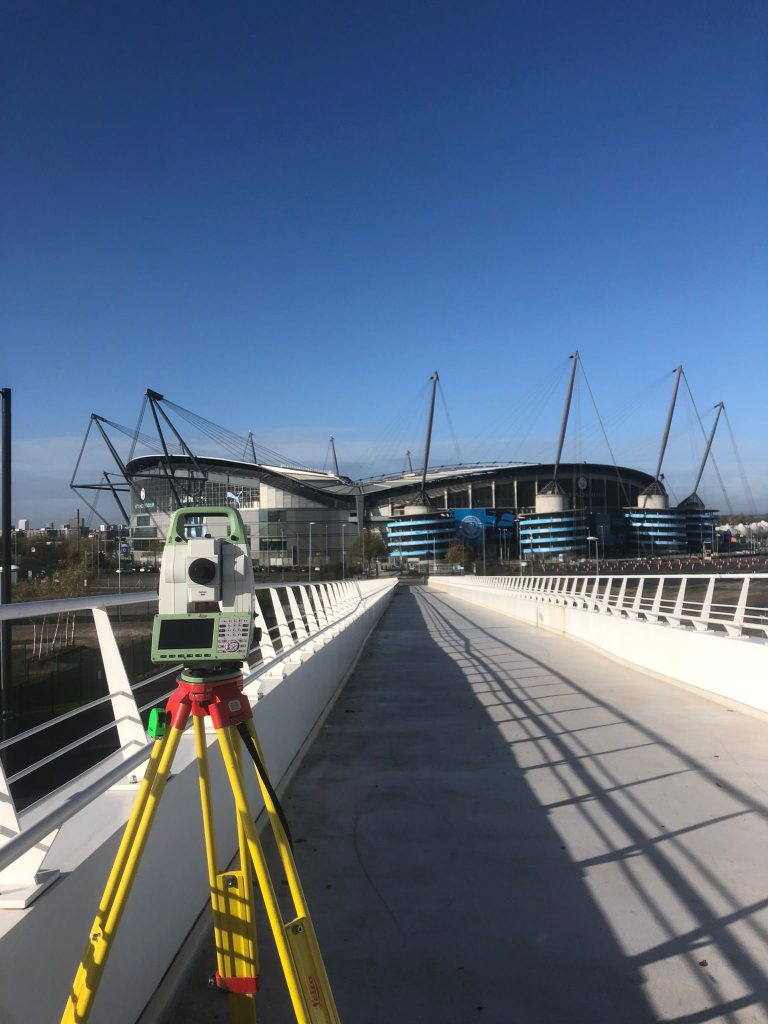
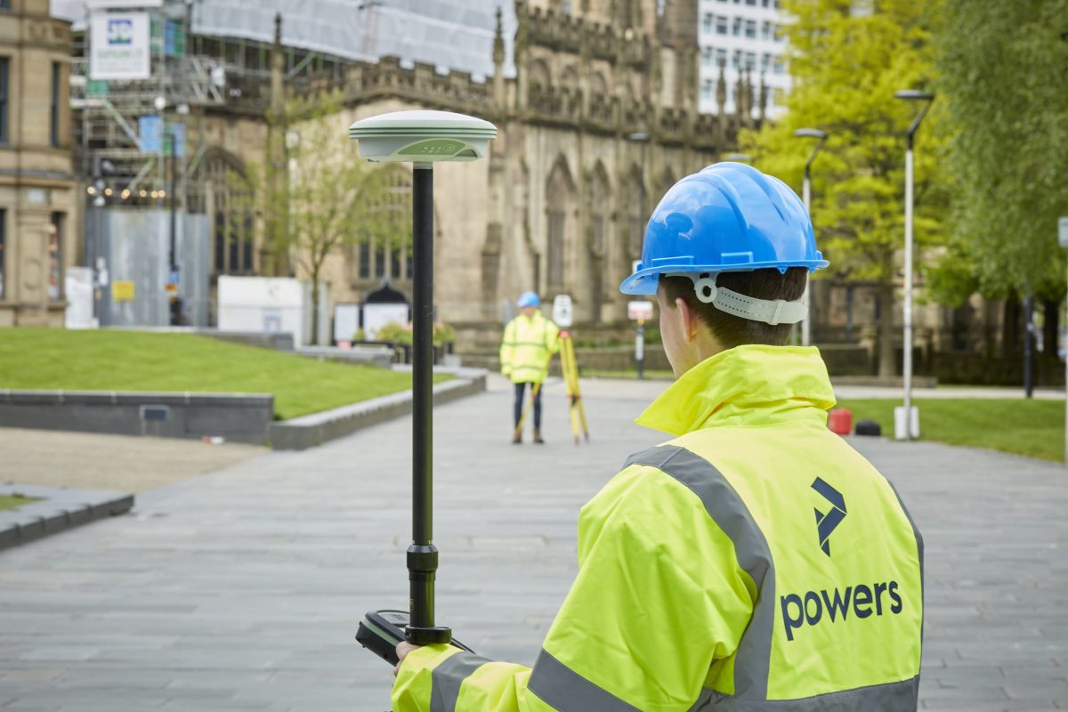
Topographical surveys are used to record and evaluate data on any natural and manmade features of the land. They will also take into account the contours of the terrain and elevations and depressions too – they include anything that is above ground. The information can be turned into 2D or 3D models, that depict and accurately reflect the site as it stands. To carry out these surveys, we use the very latest in surveying technology, including high-precision GNSS and total stations. Topographical surveys rely on equipment and methods honed over years of practical site experience, as surveying has evolved to become the highly-accurate digital discipline it is today.
Building on experience
We also carry out measured building surveys. These are detailed and accurate surveys of existing buildings. We use advanced laser scanners, which quickly collect millions of points-per-second of data, with an accuracy of 1.2mm. External elevations can be created to show the exterior of a building. Elevation drawings are made from a 3D point cloud, which are then converted into 2D line drawings. These external elevations and street scenes are really useful for heritage projects and building restorations. This is because they show all the architectural elements and features of a building and provide context in relation to its neighbouring properties and street layout.
The 3D models can also be used to provide digital twins. There has been an increase in demand for digital twins of buildings. A digital twin is a digital version of a building that already exists in real life. By having it digitally, there is a great ability for online collaboration, leading to increased speed of decision making. It also delivers an environmentally friendly way of ‘meeting on site’ or running a simulation of a building’s development or performance, highlighting potential issues in new designs.
Also, integral to our measured building services are internal elevations and floor plans. They can be used for renovation projects, to provide accurate data on such features as floor, ceiling and door dimensions. They can prove invaluable in buildings that have evolved and been added to over the years, and for renovation projects where heights and levels may vary throughout a building. We can also provide sectional ‘slices’ of a building, to allow anyone to see a cross-section of any location in the structure.
Exploring under the surface
A plot of land may appear to the naked eye to be free of obstructions above ground, but what happens when you explore under the surface? We use underground detection equipment, which enables our experts to provide underground utility surveys to a confidence level specified by our clients. This data can indicate the position, type and depth of service networks on any given area of land. These include electricity, gas, water, sewer, cable and telecommunications services. Our underground utilities GPR survey uses ‘ground-penetrating radar’ and electro-magnetic (EM) capabilities to map the layers of services underground. Having this kind of information mapped out is vital before a spade is put into the ground and can prevent costly delays and potential injury.
They can show planners which parts of a site may prove problematic for excavations and can also prevent utility strikes once a project is underway. We can also carry out CCTV surveys of drainage and sewer systems, using mobile underground cameras, to access their condition. We deliver underground utility detection to Level B PAS 128 standard accuracy. We can supply subterranean utilities surveys as 2D drawings, 3D models or as 3D Augmented Reality models, which can then be viewed on site.
It is useful to bear in mind that by combining a topographical survey with an underground utility or a measured building survey, you can reduce the costs of the survey overall. If you would like more information about the wide range of surveying services we offer, then there’s more information on our website www.powersuk.com or contact us on the contact form below and we’ll send you our survey services brochure.