

Captured for posterity
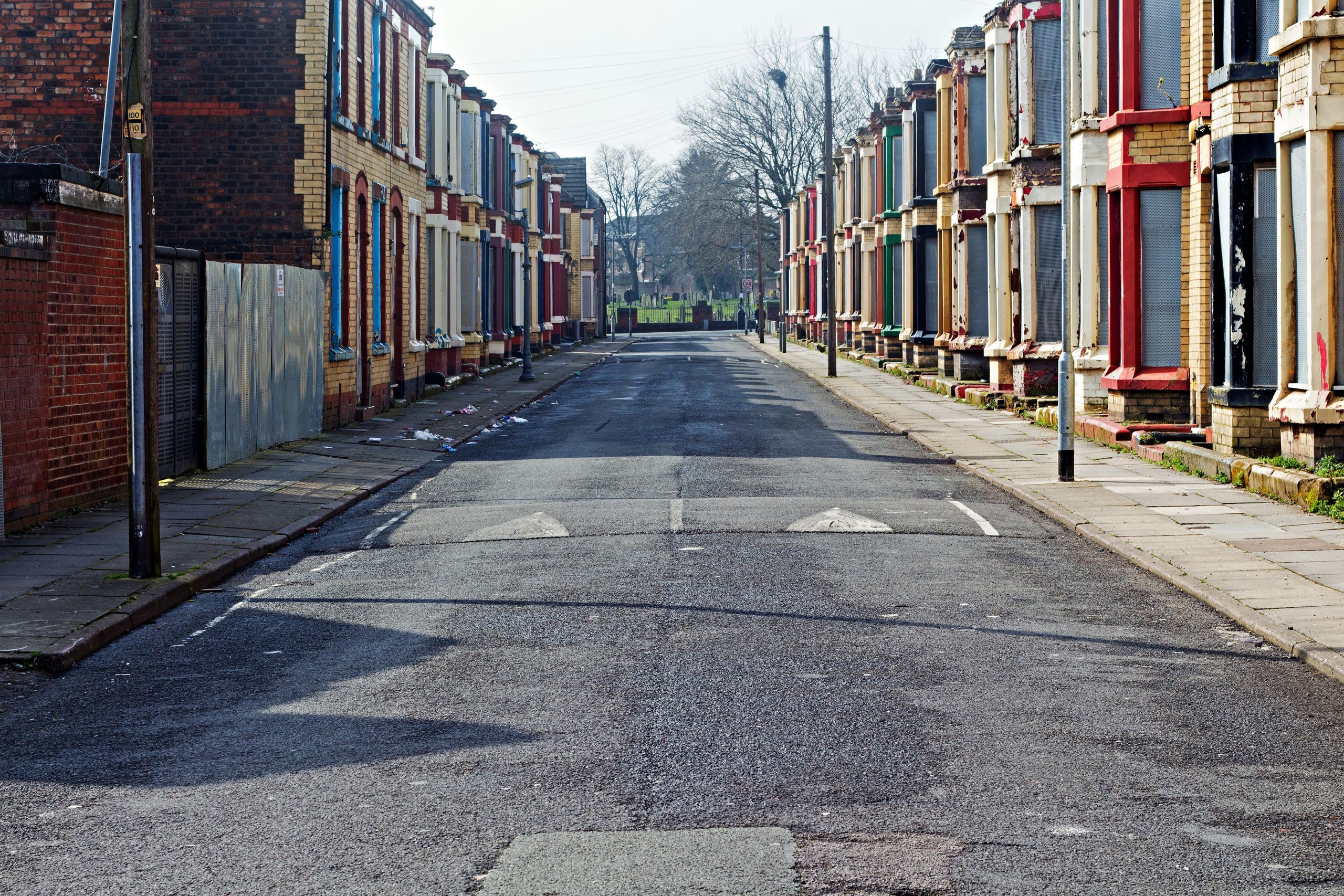
Measured building surveys of existing buildings are required by developers, planners and architects, who want to document what currently exists structurally. These plans illustrate all the structural elements and architectural features of a building. This will include external elevations of the building, i.e. how the building appears from the frontage and from other elevations. All details are picked up and measured – these include the position of walls and doors, steps, pillars, window positions, timberwork, the roof detail and guttering etc. It also includes anything ornamental, such as finials, fascias, gargoyles, gables, or ornate patterned windows, for example.
Interior elevations can be equally detailed, showing the precise measurement of doors, walls, beams and windows, even down to fixtures and fittings, such as sanitaryware, light fittings and electric sockets. Measured building surveys can be used to produce detailed floor plans of a building and its layout. When a building has been added to continuously over time, the floors are sometimes not level, for instance. This can be useful when designers are striving to level out interior layouts to create a unifying, smoother flow throughout a building. The differing floor levels are captured within the survey data.
Points of reference
We use a range of equipment for data capture, such as static, portable and handheld laser scanners, to meet the specific requirements of any given project. Working at height is rarely required, as our scanners can provide HDR imaging to a distance of 270 metres. A scanned survey will deliver a 3D point cloud model. The point cloud scanner’s data-capture speed of one million points per second can be presented as a colour data-capture file, a 2D line drawing or a 3D model (in either a DXF or AutoCAD file), or as a paper plan. The degree of accuracy is extremely high, as digital kit has a very small margin for error. Using laser scanners can reduce the time spent on site and even complicated contracts can be completed in a matter of days by skilled technicians.
Point cloud models show millions of measured points, both externally and internally. These can be utilised by architects, structural engineers and designers. The point cloud can then be translated into a 3D model which can provide an accurately measured walkthrough of the building. Architects can view these ‘sections’ for themselves as they virtually ‘pass through’ them. This means using digital data capture can also provide a sectional look through any portion of a structure. A section is an internal split vertically through a room with the specific measurements of any aspect in that portion. This could include door positions, the depth and width of beams, window placement, features such as dado or picture rails, or ceiling heights.
Using a Matterport 360° photographic walkthrough with an accurate 3D model of a building, gives architects and designers the ability to walk through the building both as a photo or accurately measured 3D model (or both). This enables them to collaborate with their clients, on the changes they recommend to the building, that the Powers’ survey team have scanned. This is especially useful in places such as schools, care homes and prisons, where teams of people involved in a redevelopment would usually meet on site but can’t because of the nature of the establishment and the vulnerability – or forced segregation – of its occupants.
Survey requirements
Measured building surveys will be required if you are planning on renovating or extending a building. They can also support a condition report, as the data gathered helps verify and record data accurately for historic purposes. Some or all elements of a measured building survey can help to renew, redesign, renovate and rejuvenate iconic buildings. They can be used in construction projects that involve internal refurbishment, redevelopment, alterations or structural changes. They can also be used in instances of sales, acquisitions, lettings or land registry. Measured building 3D models can also be used as a digital twin in facilities management, by landlords or maintenance personnel, or to provide a services layout. They are useful for interior design layouts, 3D modelling and visualisation, or to create a fire plan for Health & Safety purposes. They can be used in cases where there are issues of rights of light or disputed party wall responsibility. This type of survey can also be handy for financial valuations or taxation purposes, as to the current condition and extent of a building.
If you would like to carry out a measured building survey on an existing structure, then get in touch today, for more information, advice and a quote.


