Time and place
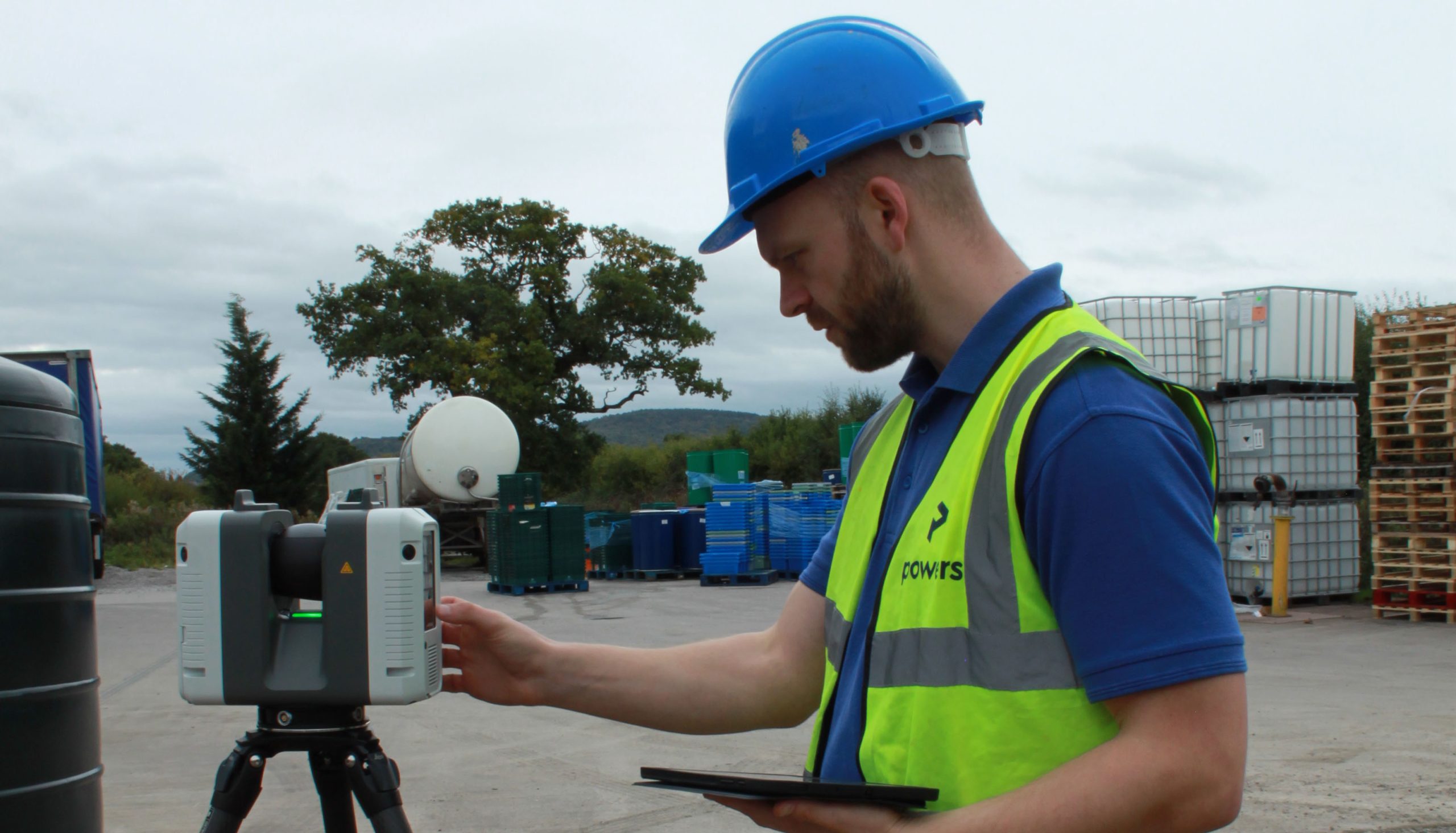
Measured building surveys are carried out using 3D laser scanners. The geospatial data gathered from the resulting point clouds is used to create digital 3D models or digital twins, elevations, floor plans and sections. This provides a snapshot of time and place in a structure’s lifecycle. They are an essential part of the construction process. Indeed, they are an important process to be carried out before project planning commences. Laser scanned surveys are carried out efficiently and accurately using 3D laser scanners such as the Leica RTC 360, in conjunction with electronic total stations and GPS. When carried out alongside other survey deliverables, such as underground utility trace surveys, boundary surveys and topographical surveys, they build up a complete, layered picture. This showcases all the essential measurements and features of a building.
Drawing on the past
As one of our core services, we deliver measured building surveys on all kinds of buildings, monuments and structures, in any location. It is fascinating to learn and understand the specific challenges that each project presents, as individual clients will specify varying levels of detail to be picked up for an array of end uses. As a result, quote costs for a full measured building survey can escalate quickly if a high level of detail is required. Therefore, our surveyors spend time with clients to assess what detail is and isn’t required. This ensures that they don’t pick up detail that isn’t necessary. Regardless of what detail is to be picked up, our team has the knowledge and experience to address all challenges on a project – from the individual working conditions, through to the intricacies and idiosyncrasies of a particular building.
Other factors that are always considered when planning a survey project are:
- Who else is present on site?
- Is the area open to public access?
- Are there restricted times that a surveyor can use a space?
- Do the surveyors need special dispensation to access the site? For example, Disclosure and Barring Service with List certificates are essential for schools, prisons and police stations.
- What will be the client’s end use of the data? Does the specification fit the end use requirements?
Delivering high quality measured building surveys
Each one of these factors is assessed and planned into a project. The measured building survey is carried out accurately and to the deadlines agreed, delivering to a consistently high quality-level time and time again. Our team uses the surveying skills that they have learned, been trained on, and developed over the years. Often, the more complex the project, the more satisfying it is to create accurate survey plans and models. The experience our professionals have gained throughout their careers ensures these skills – not just the ones learned in lecture theatres, but ones from years of proficiency ‘in the field’ – are put to practical use for our clients.
Surveying hasn’t always been in a digital environment and a working knowledge of the history and theory of surveying is also a very useful attribute to have. The broader the knowledge and experience, the greater the confidence a surveyor will have on delivering a top-quality service. The fundamentals of geospatial surveying go far beyond simple written qualifications. Qualifications are important for career development, but real-life experience is invaluable and cannot be bought – it has to be earned.
If you would like more information on commissioning a full measured building survey then contact us today.


