

Client name:
Bruntwood
Sector:
Commercial
Deliverables:
- Control grid
- Measured building survey, including floor plans, external elevations and floor-by-floor elevations
- Topographical survey
- Underground utilities detection survey to PAS 128 specification
Client requirement:
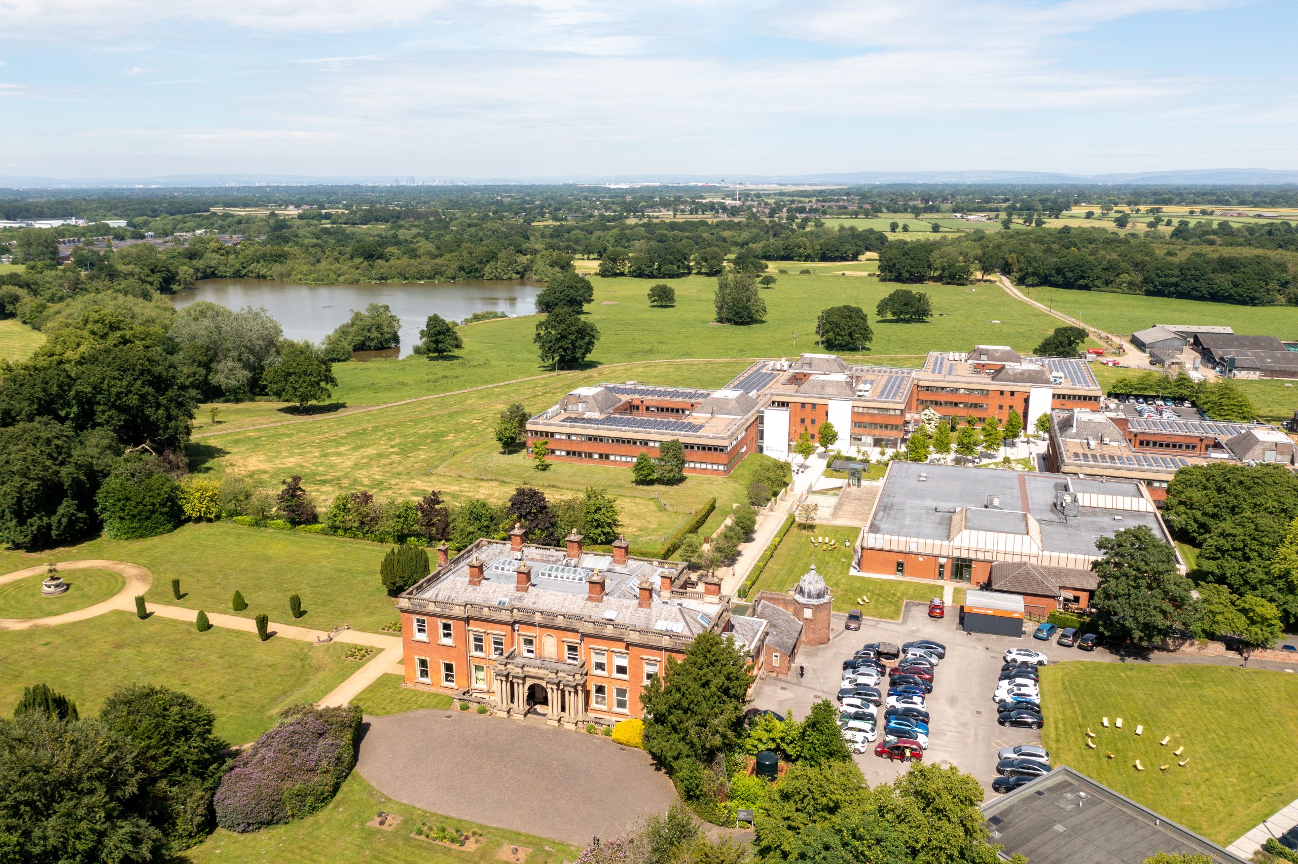
To be able to develop a comprehensive Masterplan for the estate, Bruntwood required a full set of surveys – including topographical, measured building and underground utilities detection surveys – to be undertaken to enable a full picture of the estate to be developed.
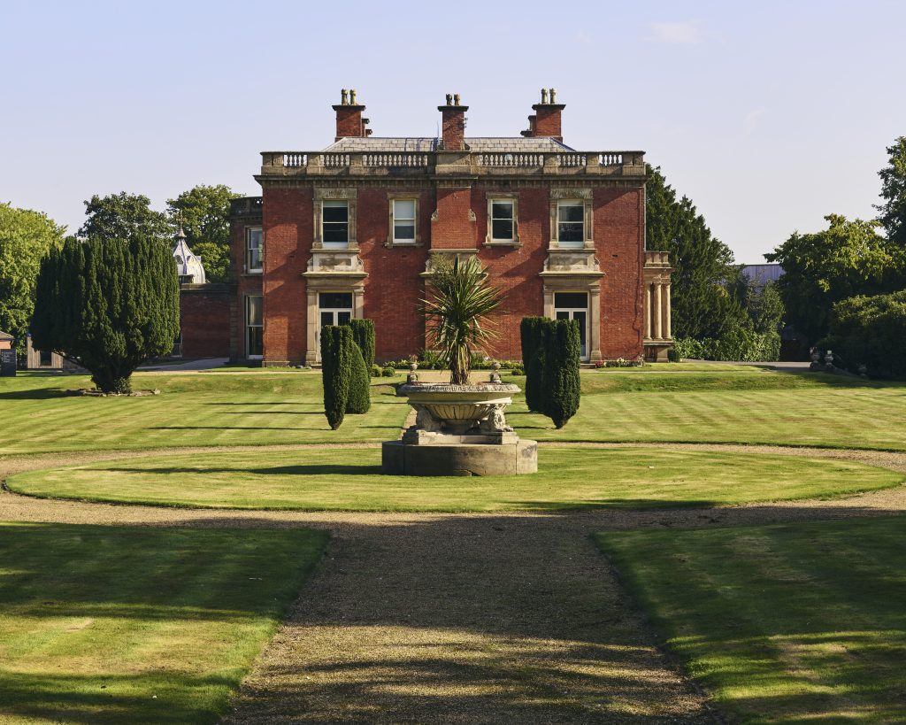
Powers was commissioned to complete the survey requirement, which included a topographical survey of the entire estate, including adjacent fields, which were under different ownership. The measured building surveys took in Booths Hall itself and four additional buildings, while the underground utilities detection survey focused around the main campus.
Outcome:
With the surveys, in particular the topographical survey, being so extensive, the project was split into phases over several months throughout 2024. This was advantageous to the client, as it meant that Powers could prioritise the surveys which were required soonest.
The underground utilities detection survey, which took place within the core campus around the buildings, identified numerous services going in different directions. When Bruntwood starts onsite in 2026, the initial phase will be the infrastructure works, which will include relocating all the underground utilities into one central corridor.
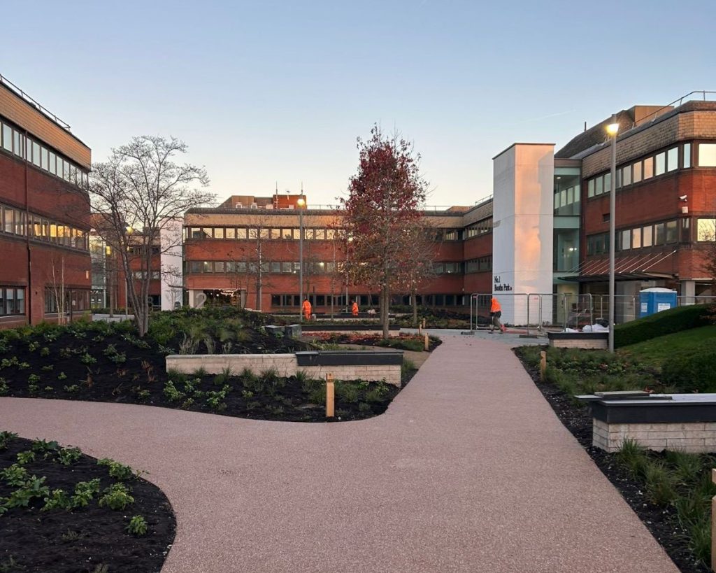
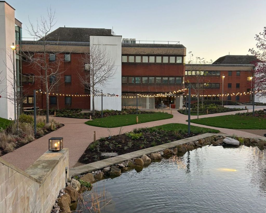
Bruntwood has already completed the new courtyard project, where it used the plans to coordinate with the landscape architect and contractor to ensure levels were accurate.
One of the key reasons for the topographical survey was to establish the level changes within the surrounding land and fields. Although not dramatic changes within the area, there were differences of up to two metres, which will have a significant impact on the building heights to remain within the existing parameters.
Bruntwood published its Masterplan in 2025. The Masterplan utilises a mixed-use approach to the estate, rationalising the office space and integrating approximately 300 residential properties into the scheme and build a 24/7 community on-site.
“The Masterplan brings residential and commercial property – including offices and hospitality – along with sustainable farming into one cohesive picture. The Masterplan also includes 5km of new public footpaths to an area which in the past has always been private. We are excited to be sharing our vision with the local community.
“We appreciate the part Powers played, by providing accurate and comprehensive geospatial information in a timely manner. The team worked efficiently and liaised with external stakeholders without needing supervision.”Emmie Woods, Development Manager at Bruntwood


