

SERVICES
Deformation and Movement Monitoring
A method for tracking the deformation of structures is called deformation and movement monitoring (also known as deformation survey). Monitoring for deformation and movement measures and tracks any changes to a building’s dimensions or shape.
Buildings or landscaped areas can be subject to movement such as land settlement or subsidence resulting in the need for one of three surveys, to check ground, floor and wall levels. Depending on the project, a Subsidence Survey, a Levelling Survey or a Settlement Survey is required.
Catching movement early on ensures remedial costs are kept to a minimum and so pinpointing this with absolute accuracy is imperative. An initial survey models and contours the face of the wall or floor. This highlights any movement or deformation by establishing a series of permanent points along it. If the levels appear to be moving, then a monitoring survey is implemented to see how far and how quickly the movement is occurring.
Key Benefits
- Detection of structural movement such as subsidence, settlement, heave, sway, bulging walls, cracks or the expansion and contraction of constructed brickwork, block work or steelwork
- Monitoring steel beam levels during construction ensures that there is no evidence of bend or twist in the steel, guaranteeing accuracy throughout construction
- A monitoring survey ensures that permanent points are accurately resurveyed over an agreed period. We can then determine whether any movement has occurred as a result of land settlement or subsidence
- We survey the permanent monitoring points using reflectorless instruments, taking measurements on a suitable grid to allow us to compare previous data
- Monitoring over time shows the exact movement of retained wall or structure
- Monitoring surveys take the uncertainty out of the project and reduce the need for costly and time-consuming remedial work
- Programmes of continual measurement deliver unbiased results
Deliverables
- A 2D plan or 3D model will show any movement over time
- Examples of data presentation range from reports, contour models overlaid on top of each other, survey drawings or spread sheets for best interpretation
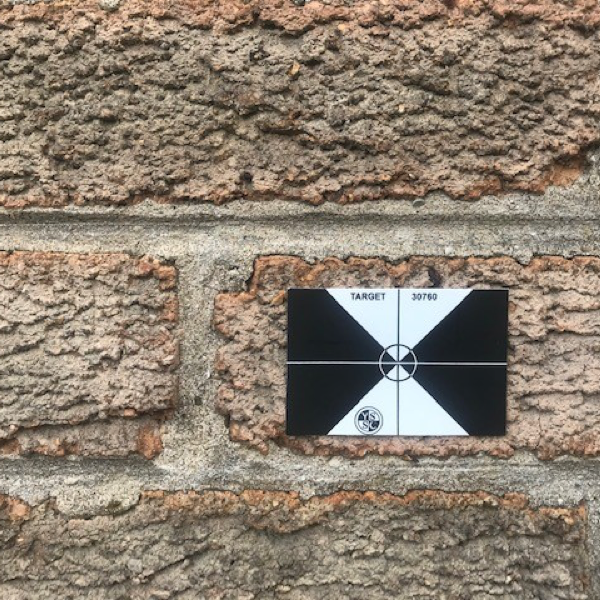
- Permanent markers or targets can be fixed to the wall and surveyed for position and level over a set period. The results show whether movement is occurring
- Detailed level surveys across concrete slabs produce a contoured drawing which clearly show the low and high areas

Powers provided us with comprehensive and accurate topographical surveys, on what was an extremely complex area. The information contained in these surveys, including the elevations details, all help us understand the area – and how it can be successfully transformed for future generations – as part of the regeneration project.

Get in touch
Need a quote or some more information? Call 01928 734 473 or send us a message via the form.
* INDICATES REQUIRED FIELDSurvey Partner All rights reserved.
© 2026 PowersUK Ltd


