SERVICES
Measured Building Surveys
What is a measured building survey?
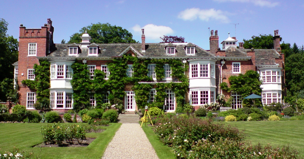
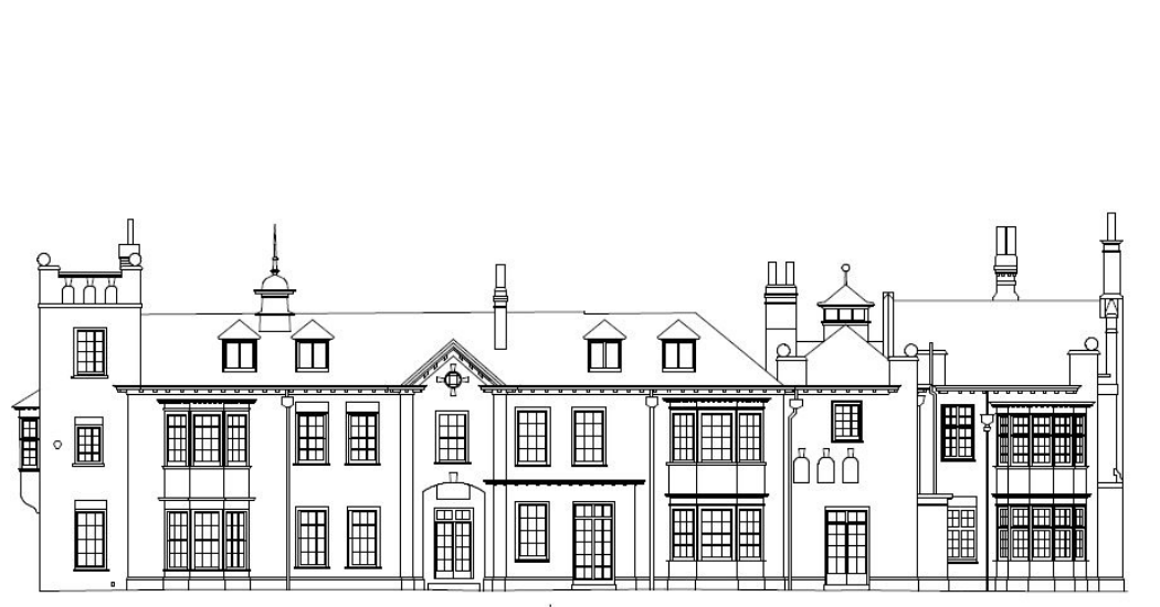
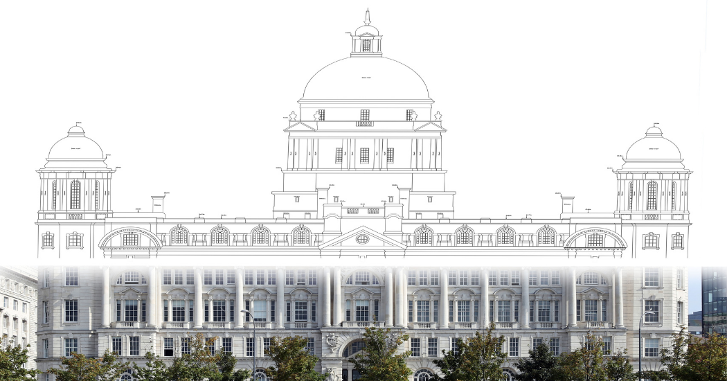
Complex mapping is what we do best. Measured building surveys show the architectural elements and facades of buildings. Use of equipment such as a Leica RTC 360 Laser Scanner, captures data that provides clients with highly detailed 3D colour point clouds from which they can produce detailed line drawings. These line drawings show streetscapes and architectural elements , which are required by developers and architects, who seek to record what exists to update and enhance what is already there.
While our 3D laser scanner is more suitable for complex, 3D Data integration requirements, using a laser scanner, which has typical data collection rates of one million points per second and an accuracy range of 1.2mm, allows you to maintain the complex, historical context of the building. This means work can be completed at speed, reducing time spent on site.
Measured building surveys have a variety of end uses from refurbishment and redevelopment changes, to use in sales of estates, letting or land registry. They provide accurate layouts for facilities management or can form the basis for interior design or fit-out plans. An external elevation drawing provides a precise, integrated view for new designs , planning or space management, or it can present measured data of neighbouring buildings, to continue the architectural integrity of a streetscape.
The team at Powers can offer a wealth of experience and wide-ranging expertise in accurate internal and external area measurement with measured building surveys. This type of work is of great interest to the team and back-office staff due to the technical knowledge required and the visual impact they make.
Key Benefits
- Precision measured building surveys provide you with a record of what currently exists, to update and enhance what is already there
- We have experience and wide-ranging expertise in accurate internal and external area measurement
- With a range of equipment, such as our Leica P40 Laser Scanner, our team can meet your specific requirements
- With a data-capture speed of one million points per second, the point cloud the scanner creates can be presented as a colour data-capture file, a 2D line drawing or a 3D model, in either a DXF or AutoCAD file, or as a paper plan
- Working at height is rarely required, as our scanners can provide HDR imaging to a distance of 270m
Deliverables
- 2D elevations and floor plans through to 3D models
- Internal and sectional elevations
- Reflected ceiling plans
- Sections
- Detailed features of buildings, such as gargoyles, light fixtures, and patterns on windows
- Features of buildings
- Pipework, including waste and water downpipes

As the contracts Manager for MC Construction, I’m responsible for overseeing several sites and schemes at once, and I am also involved in the design development. For MC Construction to be able to help Royal Mail develop this existing site, we needed a lot of vital underground information on the location. Powers were able to provide us with an underground utility survey, that was clear and accurate, enabling us to be able to place the Hydrobrake in the most efficient position and excavate the car park, without putting our team and others in danger.

Get in touch
Need a quote or some more information? Call 01928 734 473 or send us a message via the form.
* INDICATES REQUIRED FIELD


