

SERVICES
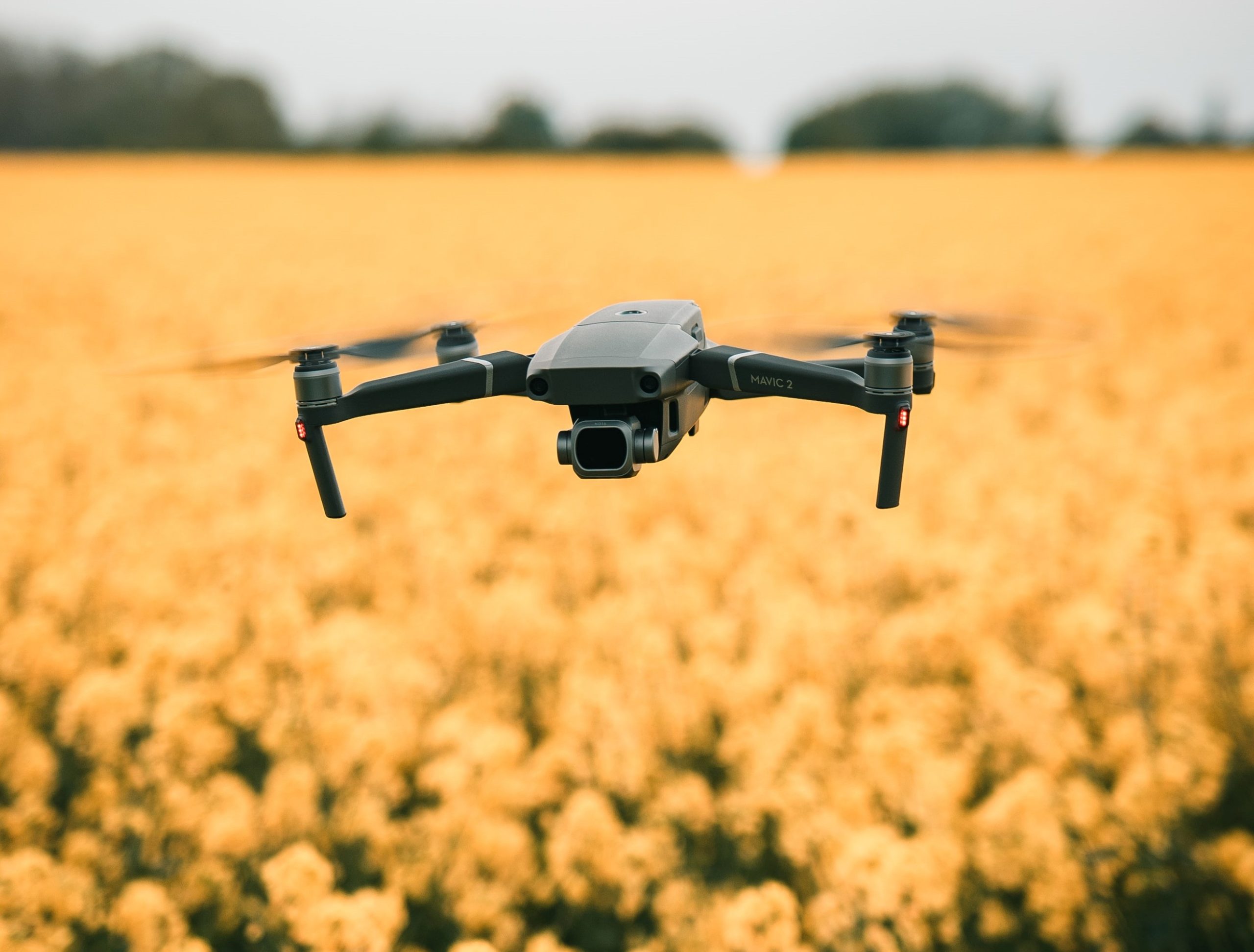
UAV (Drone) Surveys
UAV (Unmanned Aerial Vehicle) surveys are a great way to plan large projects since they collect large amounts of data in a short space of time. We collaborate with you to ascertain your needs, fill you in on the technical details, and carry out UAV surveys in the most economical way possible. To maximise the advantages of this technology for you, we capture, verify, and manage the data created in order to produce high-quality 2D or 3D models, which gives you free reign to plan and design accordingly.
In locations with poor quality, dated, or even no data, UAV surveys produce high-resolution orthomosaics and intricate 3D models. They make it possible to swiftly and efficiently construct very accurate cadastral maps, especially in challenging or difficult-to-access areas.
UAV surveys are ideal for feasibility studies on a site, and when combined with a topographical survey, you will have a data packed drawing of your site.
UAV surveys are ideal for:
- Land surveying/cartography
- Urban planning and development
- Construction and planning
- Environmental studies and research
- Volumetric measurement
Key Benefits
- Time spent on site is vastly reduced, as large areas can be surveyed 10 times quicker than traditional survey methods
- UAV Surveys are able to reach inaccessible areas, such as masts, towers, roofs, tall buildings and wind turbines
- Ideal for projects which may be deemed dangerous, as it reduces risk by capturing data from the air
- Cost effective
Deliverables
- High quality 3D point clouds
- Provides highly accurate orthomosaic maps
- 3D textured maps
- Contour maps of a site
- Digital terrain models

The site at Grey Mare Lane has been a huge project that will reinvigorate an area of Manchester and enhance its’ residential neighbourhoods. Powers’ contribution to the planning and layout of the site has been invaluable to us. We have been able to locate and map out the complicated service routes, which has further enabled us to make informed decisions and recommendations on how the site can develop in the longer-term. We have worked with Powers on projects in the past, so we were confident of the company’s capabilities and the quality of the survey results.

Get in touch
Need a quote or some more information? Call 01928 734 473 or send us a message via the form.
* INDICATES REQUIRED FIELDSurvey Partner All rights reserved.
© 2026 PowersUK Ltd


