

Into the unknown
While surface topographical surveys will map what can be seen above ground, ground penetrating radar (GPR) is used to identify and pinpoint what is hidden from sight and buried underground. You’ll usually be looking at developing a site if you carry out an underground survey, but they can also be used for valuations to be able to define to what extent a site has been developed in the past, or what it would be suitable for in the future.
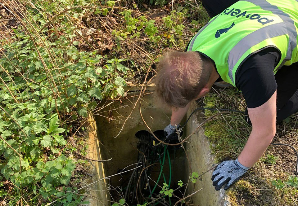
Brownfield sites, for example, can have all kinds of utilities hidden beneath ground level that can make redeveloping the site more complicated than a greenfield site that is yet to be built on. Among the many underground hazards you can encounter are re-bar, power cables or ducting that in some cases will have to checked, to see if they are still live or not. These can pose a danger, especially when development begins. There can also be water services buried on site, such as pipework or sewer runs, and these can be equally problematic when defining what can be done with the site in terms of new construction and excavation. You can also encounter underground structures, such as septic tanks, subterranean chambers, even tunnels or voids, that again will bring challenges for redevelopment. Other obstacles include telecommunication cables or obsolete cabling that may have long since been disconnected but still needs removing – all of which we can detect using our specialist equipment.
Delivering the data
At Powers, we provide 2D or 3D underground utilities surveys as standard. We locate the presence of underground services on sites, using GPR and electromagnetic equipment, such as CAT and genny. Our professional surveyors deliver reliable 2D or 3D subsurface surveys, which include complex data in a straightforward, digestible format. We use electromagnetic devices to locate and map metallic or live buried services and utility routes. This can go towards both the planning stage of a project and the construction stage, as a safeguard towards health and safety aspects, such as the avoidance of live cabling.
Using GPR, we can establish the position and depth of buried non-metallic, fibreoptic and plastic services. If required, we can also capture data to produce a topographical base plan illustrating the position of the underground services. This can be used to provide an accurate, scaled, colour-coordinated presentation of the site, as it exists at the present time. The data is produced in a survey report at an agreed confidence level.
If you would like to discuss working with us to produce an underground utilities survey or would like advice on why they are so important, then get in touch today.


