

Backbone of the project
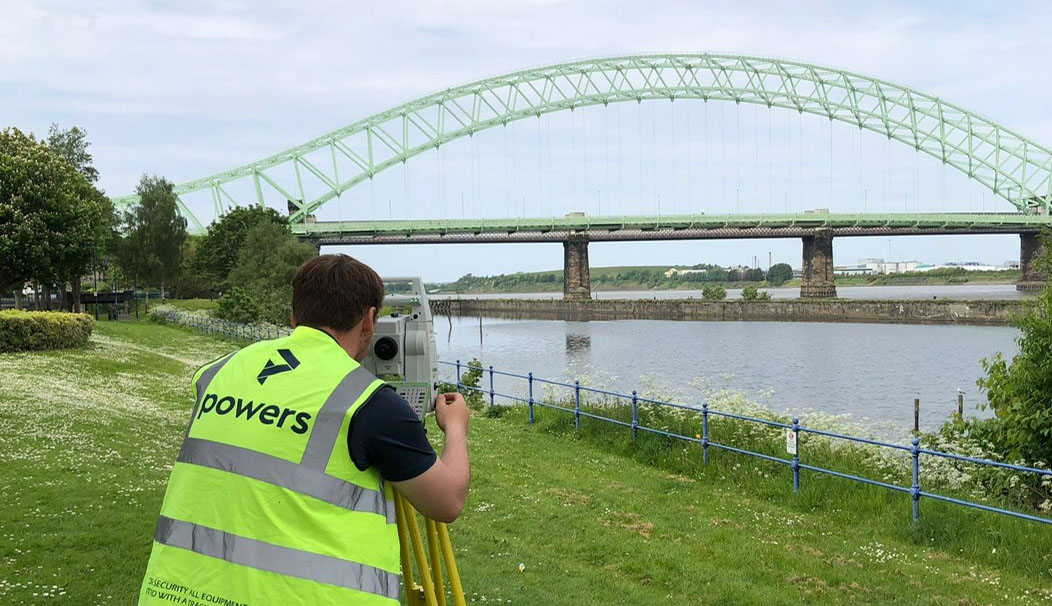
Topographical surveys are the backbone of reliable construction project planning and design. Measured data gathered during a geospatial survey can be used in a number of ways and drawings are an important part of the design and construction process. Surveyors should be engaged to undertake ‘topo’ surveys, as they are informally known by surveyors, at the earliest opportunity of the construction process.
There are a number of steps in a topographical survey, the first of which is an initial site assessment which can be viewed online or in person. This involves establishing the project’s parameters, understanding the client’s aims and end use of the data, and inspecting the site for access issues or scrub and other hostile terrain. This will give an insight into the site’s accessibility and the project’s scope – and provide the surveyor with an idea of the best approach to capture the data accurately in the quickest time possible.
Once the extents of the specification have been agreed between the client and the survey company, the survey can begin. For large sites this may take more than a single day, and for extended surveys – for example across very extensive acreage or along the route of a road – this can take much longer.
What makes a good topographical survey?
All topographical surveys should have a robust network of control stations applied to them which is then linked to Ordnance Survey Grid using a GPS fix. A traverse applied to the site will create this network of control and give architects and designers reassurance that all surveyed station points are correct within industry standard tolerances as the survey progresses through the site.
A long baseline between two control points at the beginning of the site means the residual errors going forwards will be minimised. Further control points should be at a decent distance (but not too far) to ensure residual errors are minimised. It’s complicated and involves a lot of maths, which is why you need someone who’s an expert to create your complex topographical survey model or drawing.
Aspects of a quality survey
Another aspect of a good quality survey is how the information is shown on the finished drawings. It should be:
- Easy to read and clear what the features are all referring to.
- If there is different coloured text or line style, it should be obvious what each one relates to.
- Measured survey detail should be captured in a regimental and uniform manner, for example if kerb heights are required, they should be detailed across the whole survey in the same way.
- Electricity service or drainage covers should be identified by the same icon or symbol on the drawing or model.
Every surveyor uses their own method of picking up data, but it must be done in a methodical way so that no detail is left out. The aim of a good quality survey is that anyone should be able to look at it and easily understand the information that the drawing or model is trying to convey.
The survey must fulfil the end use objectives, and getting this right starts at the point of data capture on site. A good quality geospatial survey is also one that has been completed within the timeframe allowed and in an efficient manner. This is a skill that only an experienced surveyor can demonstrate. Capturing data accurately and at speed, creates good value for clients and ensures that costs are kept as low as possible, whilst providing the information required for its end use.
Layers of complexity
The complexity of a survey will depend on the size of the site and level of detail required. Heavily forested areas, for example, or broken or overgrown terrain can be problematic for a surveyor to access. Complex topographical surveys are important in instances such as these, to ascertain ground levels in inaccessible areas. Surveyors will deploy GPS systems, electronic laser measuring tools and aerial drones, or a combination of all three to capture the data required to provide the exact deliverables.
Once the data has been gathered, it can be analysed in a variety of formats. Surveys can be supplied in BIM (Building Information Modelling) compatible software formats for the crucial first layer of building design. Surveyors can collate the data and cross-reference it, to identify any discrepancies. It can also be checked alongside any existing digital and analogue data to identify changes in land levels and features from one period of time to another.
For an extra layer of complexity, topographical surveys can be carried out in conjunction with an underground utilities survey, to build a full picture of the site, both above ground and below. This can help to identify advanced planning of the construction process and also identify any potential challenges and otherwise unforeseen hazards that could hamper the project development.
Data processing to create the end product
Having analysed the topographical survey data, the final stage of the survey is the processing of the data and the production of detailed drawings and maps – either digitally, as 2D or 3D line drawings, as a 3D model to insert into BIM software or as physical paper plans. The fact that the data is available digitally, means that that it can be easily shared between devices, professionals and organisations, which saves time, aids collaboration and communication of a project. It also adds a level of efficiency to the survey and planning process.
The survey can then be used to make final planning decisions and as a basis for structures to be designed specifically for the environment they will inhabit. They are a very important aspect of final planning and design in construction projects and should be carried out by qualified professional surveyors.
If you would like us to carry out a topographical survey or are interested in finding out more about what they entail, then get in touch today.


