Underground assets
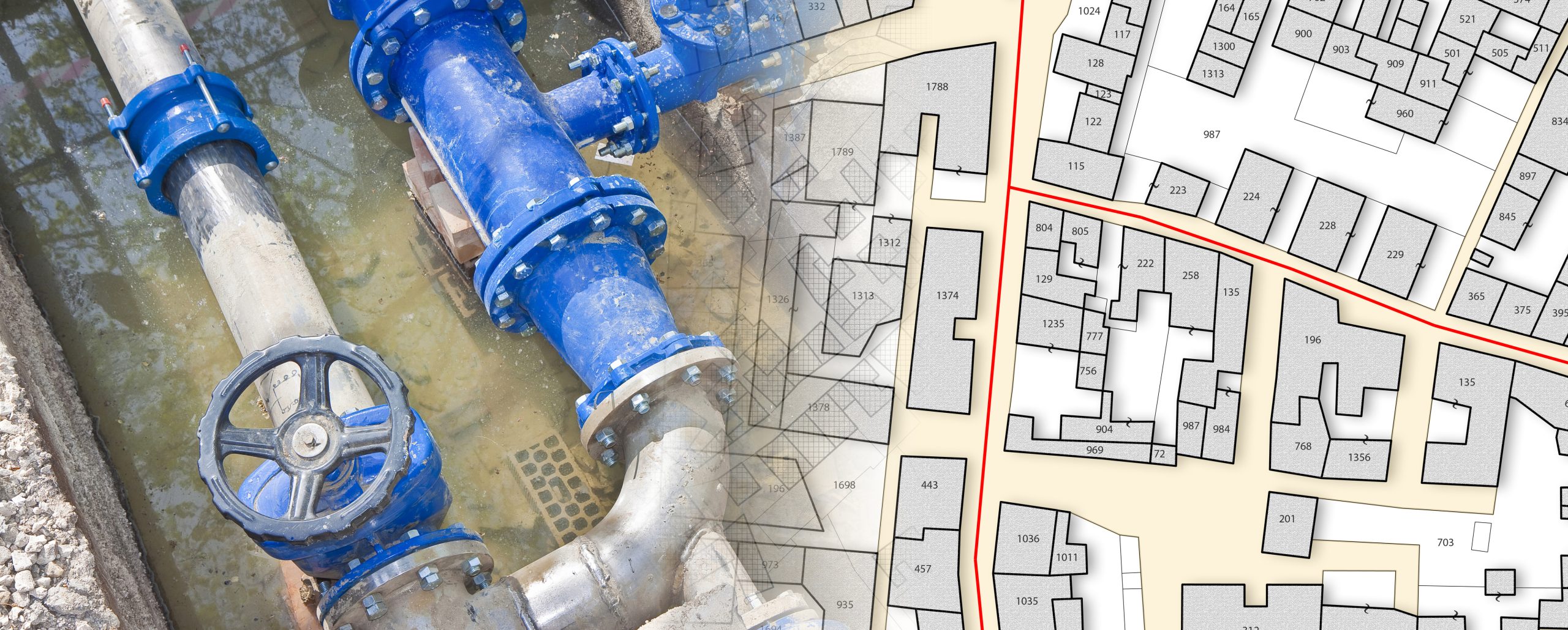
The National Underground Asset Register (NUAR) is a government-led programme that is delivering a new digital map of our underground environment. A large proportion of our utilities are buried underground, as well as building and transport infrastructure, such as chambers or tunnels. This includes around four million kilometres of pipework, sewer runs, and electricity and telecoms cabling. In the course of work being carried out underground, there’s approximately 60,000 accidental strikes per year. These disrupt work schedules and damage utilities. They can also be dangerous to operatives, cause delays and disrupt traffic. The total cost, both directly and the residual effects, is around £2.4 billion a year.
The owners of underground pipes and cables – which can cover many miles and crisscross a site in all directions and at all levels – are termed the ‘asset owners’. They are legally obliged to make their data available to companies, agencies and organisations which are carrying out work that involves excavating areas with unseen utilities and other obstacles. They should make this information available for free. This can be a very complicated and convoluted process. Work can have been carried out over a number of years, in a number of timeframes, and with no single ‘snapshot’ overview of everything that has been installed – and where.
NUAR: Research and development
The government’s aim is that by having a map as an available and searchable resource, it will help to speed up the inception of projects – such as new roads, new houses and the rollout of broadband. For every project, excavators usually request data regarding the presence of utilities from between six and 10 asset owners. Following a research phase that commenced in August 2018, two pilot schemes were carried out in 2019-20, in North East England and London. These tested the feasibility of creating a national map. The two pilots were the Highways Asset Data Exchange System (HADES), led by Thames Water – which tested combining utility data from two sites in London into a single map – and the North East Underground Infrastructure Hub (NEUIHub), an initiative developed by Northumbrian Water.
Advantages to construction
Following these pilots, NUAR was launched in April 2023, and the geospatial community is really excited about its impact. It has already demonstrated its effectiveness and how it can facilitate the planning and execution of works, both at the planning and construction phases of a project. The benefits of having a universal, multi-utility map document that is searchable will offer clear advantages to the construction and engineering industry, as long as it is constantly updated. The Geospatial Commission is actively encouraging public and private sector asset owners to get involved, to ensure that all live, abandoned or redundant service networks, and underground obstructions and hazards, can be accurately mapped for future projects. But what does this mean for underground utility surveyors and their day-to-day mapping of underground services? Follow Powers to find out more.


