

A framework will generally include preferred suppliers from civil engineers and constructors, mechanical and electrical engineers, architects, cost consultants, land agents and more. However, the profession invariably missing is geospatial or land surveyors.
Why aren’t geospatial surveys listed as a requirement on infrastructure and construction frameworks?
There may be numerous reasons why this is the case, from the simple fact that the survey work may have already been completed before the framework was put in place. Or it might be that the importance of the information a survey can provide is not given enough weight. This might be because surveys are often seen as a commodity service that can be commissioned at any point. While it is true that there are a lot of survey companies about, not all survey companies can provide the same quality of service.
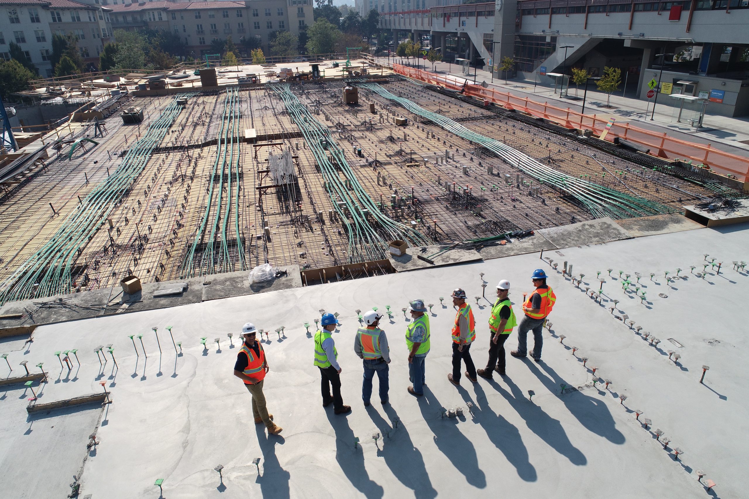
While surveyors are often not included in the framework, the skillset they bring to a project is vital. As the Get It Right Initiative Research Report identifies, one of the areas in which errors occur with greatest frequency is setting out.
Other areas of construction where errors occur, and which could be as a result of poor-quality geospatial survey services are:
- Drainage – drainage pipes draining in the wrong direction or without enough of a gradient can result in significant remedial works.
- Piling – incorrectly set out piling positions can have disastrous results on building positions or the structural safety of a building.
- Roads and pavements – incorrectly set out roads and pavements can result in the wrong width of pavement, roads travelling in the wrong direction or the incorrect width or height.
- Structural steel – if some measurements of steel work are not corrected it may become unsafe or not fit to the specifications of the building around it.
- Damage to live services – incorrectly verified underground services can result in damage to live services which are costly to rectify but could also cause great harm to those working around them.
- Utility connections – incorrectly verifying underground utility services means that connections to mains services may not be carried out in the right place resulting in remedial works.
It would appear that ‘getting it right’ at key touch points of a project, many of which include geospatial survey services, is key to avoiding expensive errors in construction. Surveying and geospatial engineering uses geospatial experts and specialists to provide accurate, up-to-date topographic and measured building surveys along with underground utilities detection and site engineering. Without these in place, providing complex layers of interconnected geographic information and data, decisions taken on the project can often be ill-advised or downright wrong, especially when it’s not done by someone who understands the nuances of geospatial data.
How to avoid setting out errors
To avoid setting out errors, it is important to establish what accuracy levels have been set. Set primary control at ground level. Set secondary control at a higher level around the site perimeters using permanent reflective targets. Ensure any corrections are accurate and all errors can be confidently explained and justified. Take time to plan and challenge all work before going on site. Perform and record all dimension checks (to features already in existence either on or nearby the site) for reference.
Even though most survey equipment performs the mathematical calculations needed for successful setting out, ensure you use someone who understands what the survey equipment is doing. That way, the figures on the screen, resulting from the work, can be challenged and errors closed out before handing the site over to other contractors to work off the setting out points. Beware of anyone who looks at their survey equipment and says, ‘well that’s what it says on the screen, so it must be right’. Incorrect setting out points can lead to extensive remedial costs, so setting out must always be right, first time.
Redressing the balance
At Powers, we have the skills and capabilities to work on projects of all sizes, to provide the insight developers and constructors need to enable a project to run smoothly with limited errors. Including geospatial and land surveying within the framework makes sense, as we are able to add the most benefit, when we are involved early on in a scheme and used throughout the project’s lifetime, so that early-stage decisions are taken with all the facts available.
For further information on our services, contact Powers UK at www.powersuk.com


