

Degrees of accuracy
It can be useful in unclear cases to have a Boundary Survey carried out. If you are involved in a boundary dispute, for example, having irrefutable proof will that be recognised legally will go a long way to proving your case. Boundary disputes can be messy affairs that can be very difficult to resolve. This is often worsened by aspects such as shared access and alterations made over time. Our Boundary Surveys are carried out using laser equipment, Total Stations and the latest digital technology, to provide an astonishing degree of accuracy. We will provide an accurate record of where the boundary exists, with regards to written and printed evidence, such as Land Registry documents or historic title deeds.
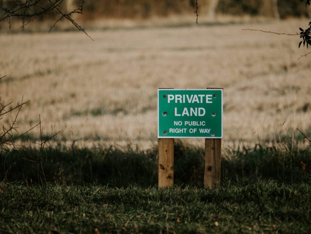
The legal boundary is an invisible line drawn in the air that separates two properties. This will often differ from the physical boundary, which is formed by hedges, walls, trees or fences that will be there for all to see as physical attributes. While Ordnance Survey and the Land Registry Office work closely to show the general boundaries of a property or area when the land is first registered, over time the OS Map or Title Plan of your property may become out-of-date compared to what is on the ground. This is where an accurate, updated Boundary Survey will come into its own.
Expert evidence, accurate data
A boundary survey carried out by a specialist professional will deliver a number of key benefits. It will review any Land Registry Documents as compared to the property’s physical boundary, to determine any boundary creep. People can allow this ‘creep’ to occur naturally, to their advantage, or they can do this deliberately to pinch extra land. A professional surveyor will provide evidence as an expert key witness, with experience, knowledge and an unbiased viewpoint of boundary disputes at court level. They will also be able to consider the needs of the client, as well as the solicitor representing the client and the case to be disputed. Beyond the legal dispute aspect, a Boundary Survey can determine individual parcel boundaries, as in the case of a piece of land being divided up, or being allocated to different ownerships or individuals.
Boundary Surveys deliver an array of key data that can be used in different ways. They can provide a base plan, showing the accurate location of existing boundary features. They can be used in the creation of Land Registry compliant plans and define an accurate record of where your boundary exists, in relation to Land Registry documents or historic Title Deeds. Our surveyors can provide a resolution to boundary disputes through an unbiased, experienced viewpoint. They can determine individual parcel boundaries or the legal subdivision of land, as well as the provision of lease and conveyance plans and boundary demarcation. Surveyors can also assess the parameters of land areas for sale and provide a Civil Court compliant boundary report.
If you would like to carry out a Boundary Survey of your land, or if you are involved in a legal dispute involving an unclear dividing line, then get in touch today.


