

The control grid – a single version of truth
This single version of truth is generally a control grid. This is a network of horizontal and vertical lines superimposed over a map or building plan and used for locating points within a construction site. The control points are reference points with known coordinates and are used to create a consistent coordinate system for construction projects. These points are essential for land surveyors to accurately position elements on a job site, based on digital plans or Building Information Modelling (BIM) models.
Accuracy is key
All the contractors on a project should work off of the same control grid. Control grids are the foundation for everything on a construction site and should be put in place as early as possible within a project. If your control points are wrong or inaccurate, everything else will be incorrect. The control points on the grid need to align with both the pins in the proposed computer aided design (CAD) drawing and the pins in the survey. They also need to be created in the same coordinate system, otherwise the contractors on site will still be working off different controls.
Establishing the perimeter
When setting the control grid, the first step that needs to be completed is a traverse. This is a series of points established on the construction site, connected through the measurement of angles and distances. These are used to determine the relative location of points to each other and establish control around the site. Solid ground and permanent features are used for the traverse on the control grid. Also, by measuring the perimeter of the site and the corners, the accuracy of the control grid can be double-checked before construction.
Expertise and experience matter
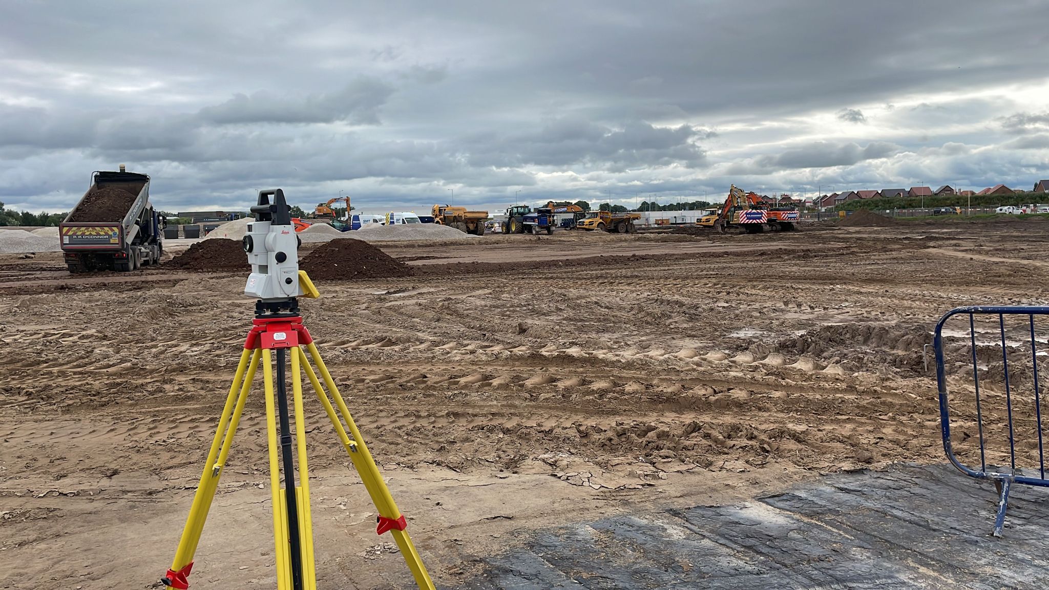
The team at Powers understands the importance of getting the control grids set right, first time. Our experienced and dedicated site engineers have extensive experience of working on different types of construction sites and dealing with different site challenges to get the most accurate starting point possible. They achieve this by using a combination of Leica robotic total stations and GPS equipment. Also, by ensuring they have the most up-to-date version of the site plan and that the building coordinates are calculated correctly and uploaded onto their Leica Total Stations.
To find out more about the benefits of accurate control grids, visit our website.


