

Let’s start with the basics: what is GPS?
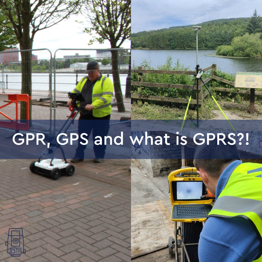
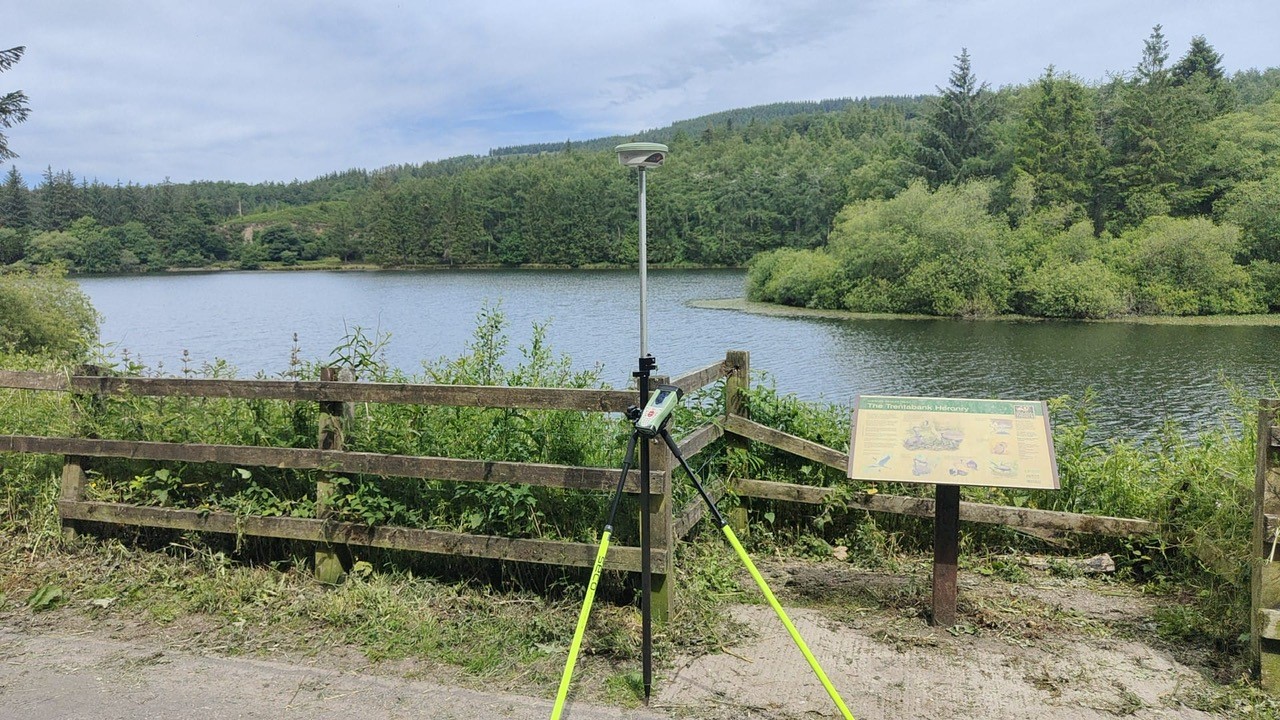
GPS stands for Global Positioning System, a precise global navigation and surveying system that relies on signals from several orbiting satellites. GPS is commonly used when navigating using your phone or Satnav.
The surveying profession was one of the first commercial adaptions of GPS, after being used exclusively by the military until the 1990s. The GPS directly provides latitude and longitude positions to the receiver without the need to calculate or measure the angles and distances between two points.
How does GPS surveying work?
Whilst using GPS in surveying works in the same way as any other GPS devices, such as phones, the way surveyors use GPS is different for two reasons: their technology and usage.
- Technology – The GPS receivers used in land surveys are more complex and more expensive than that used in a phone. By using these more complex GPS receivers, more accurate information is captured.
- Data usage – when data is captured to be used on devices such as phones, it is interpreted differently. For phones, the data is used for navigation. Whereas in a land survey, the data is used to measure the distance between two points.

In what ways is GPS used in land surveying?
There are three main ways GPS is used in land surveying:
- Static GPS baseline
- Real-time kinematic observations (RTK)
- Continuously operating reference stations
Each approach yields different data, but they are all used in the same way. Powers uses RTK while executing GPS land survey work because it enables us to accomplish jobs more quickly and efficiently without compromising accuracy, which saves you money as less time is spent on site.
What is GPR?
A surveying technique known as ground penetrating radar (GPR) uses electromagnetic energy signals to locate underground utility services including gas pipes and electric wires. GPR is also referred to as an underground utility detection survey or underground utility mapping. Powers maps underground utilities using GPR-based equipment, such as MALA GPR Locator and C.A.T and Genny, enabling us to find all buried assets.
GPR is a non-intrusive, non-destructive technique for underground utility detection surveying and utility mapping.

How does GPR work?
Ground-penetrating radar detects and analyses changes and contrasts in the reflected signal using a short electromagnetic pulse to penetrate the earth. When the pulses reach the pipe or cable, a reflection is produced based on the conductivity and dielectric (an insulating material which has poor conduction of an electric current) properties of the components and the surrounding materials.
What is GPRS?
The 2G and 3G mobile telephone networks are connected by the mobile data protocol known as General Packet Radio Services or GPRS. It enables cellular communication between mobile devices. But this has nothing to do with land surveying. Or does it?
What is GPRS in land surveying?
In our 50 years in the profession, we haven’t encountered the phrase “GPRS,” but it was brought up in conversation at a recent networking event. Someone asked if we offered GPRS, and we weren’t entirely sure what they meant. However, after some research, we have learned that it refers to a ground penetrating radar survey. A GPRS survey is identical to an underground utility detection survey.

Does Powers offer GPRS?
Indeed, we do! All our underground utility surveys are conducted to the PAS128 level, we offer you all the accurate information you need to plan and design around buried assets.
To learn more about how we can help you with your underground utility mapping needs, see our page on underground utility detection surveys. Alternatively, you can contact us by phone at 01928 734473 or via email at surveyors@powersuk.com.


