

Topos or OS mapping?
Ordnance Survey provides excellent maps, but these do not show the type of detail necessary for building work. They are simply not accurate enough when it comes to details of boundaries, for example, and they can also become outdated.
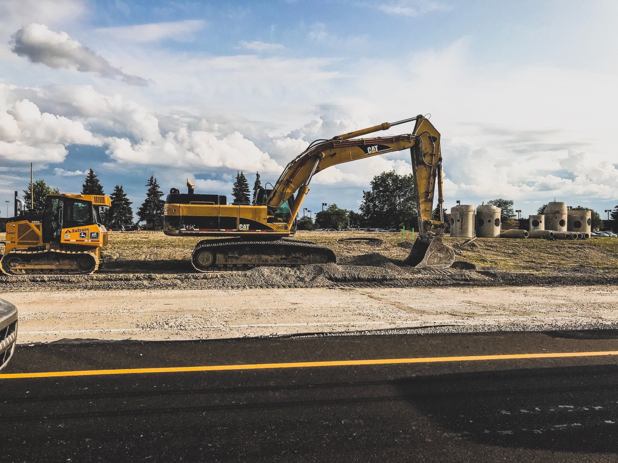
Topos are used to show the features of the land being measured such as drainage outlets, iron work, buildings or building footings, surface changes (asphalt to grass), bollards and trees. Spot levels are also picked up across the site to show the topography of the land.
Topos can be used to avoid future physical and legal boundary disputes, and to check the accurate positioning of the proposed development. They can also save a great deal of time and money by identifying potentially unpredictable issues, such as the differences between existing ground levels on a site, or the actual ground levels compared to the proposed design levels.
Once a topographical survey is completed, it can be shared with other companies involved in a project to facilitate design, planning and land ownership information too, all of which contribute to the efficient running of the construction works.
Going underground for utilities surveys and more
As well as gaining a full understanding of what the land looks like above ground, carrying out underground surveys can be just as useful. They reveal an insight into the services below ground before any design or build works take place.
Underground utility surveys provide details of the underground environment, showing the precise location of services networks, including pipes, cables and equipment for electricity, gas, water and telecommunications. These details can then help inform the future design of building foundations or proposed service routes. As well as ensuring the health and safety of everyone on site, from contractors to members of the public. These surveys also decrease the likelihood of causing cable strike to any utilities, saving delays, fines, outages, and unforeseen repair costs too.
By understanding what is lurking underground, developers then have the knowledge to make informed decisions regarding safe working areas and the position of new utilities. As well as what to do with the existing, possibly densely packed, cabling and pipes, especially in brown and green field sites.
In addition to utilities, underground surveys also disclose other details of the below ground conditions. These surveys are particularly useful for brownfield sites, which may have a long history of previous development. Foundations, basements, storage tanks and other structures may all have been hidden below the surface for years. Using ground penetrating radar (GPR) and electromagnet equipment, underground features such as shafts, steelwork or voids can be pinpointed.
Presenting a complete picture
Once the precise location of below ground features have been identified, these can then be marked on the topographic survey. This can help to build a complete picture of the entire development site, both above and below ground before any excavation, piling or drilling takes place. This results in an accurate, scaled, colour co-ordinated presentation of the site as it actually is.
Our surveying experts use topographical surveys to gather data on the natural and manmade features of the land as well as the contours of the terrain itself: topographic surveys, GPS (Global Positioning Systems) surveys and As-Built Surveys. Along with underground surveys, all details are shown in 2D or 3D models, and can be shared with designers and architects in any format.
Contact us to find out more about our topographical surveys for your next project.


