This site uses cookies. Find out more.
Close menu icon
  • Our Services
        • Land & Buildings

          • Measured Building Surveys
          • 3D Laser Scanning
          • 3D Models
          • Topographic Survey
          • Boundary Surveys
          • Accurate Measured Viewpoints
          • 3D Revit Model
          • Mobile Mapping
          • UAV (Drone) Surveys
        • Site Engineering

          • Setting Out for Construction
          • Machine Control
          • 3D Ground Modelling and Volumetrics
          • As Built Survey
          • Deformation and Movement Monitoring
        • Underground Services

          • PAS 128 Underground Utility Detection Survey
          • Topographic Survey
  • About Us
    • About Us
    • Responsible Business
    • Project Lifecycle
    • Careers
  • News
  • Projects
  • Contact Us
Skip to content
  • Our Services
        • Land & Buildings

          • Measured Building Surveys
          • 3D Laser Scanning
          • 3D Models
          • Topographic Survey
          • Boundary Surveys
          • Accurate Measured Viewpoints
          • 3D Revit Model
          • Mobile Mapping
          • UAV (Drone) Surveys
        • Site Engineering

          • Setting Out for Construction
          • Machine Control
          • 3D Ground Modelling and Volumetrics
          • As Built Survey
          • Deformation and Movement Monitoring
        • Underground Services

          • PAS 128 Underground Utility Detection Survey
          • Topographic Survey
  • About Us
    • About Us
    • Responsible Business
    • Project Lifecycle
    • Careers
  • News
  • Projects
  • Contact Us
Hamburger menu icon

Month: July 2022

What is an as-built survey?

Posted on July 19, 2022 (October 21, 2022) by Millie McGuirk

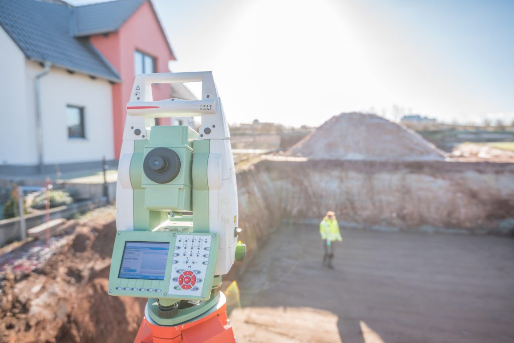
What is an as-built survey? An as-built survey is usually produced at the end of a project. They’re used to illustrate where buildings, pavements, roads, and other features have been built. However, they can be carried out after different phases of construction have been completed, providing a point in time for owners to reference. What …

Read More

Posted in UncategorizedLeave a comment

Recent Posts

  • International day of Education
  • Using drones for land surveying
  • Why in-house processing is the way forward
  • The greenest building is the one that already exists
  • Level 3 Geospatial Apprenticeship: what is it?

Recent Comments

    Archives

    • January 2023
    • December 2022
    • November 2022
    • October 2022
    • September 2022
    • August 2022
    • July 2022
    • June 2022
    • May 2022
    • April 2022
    • March 2022
    • February 2022
    • January 2022
    • December 2021
    • November 2021
    • October 2021
    • September 2021
    • August 2021
    • March 2021
    • February 2021
    • January 2021
    • November 2020
    • October 2020
    • June 2017

    Categories

    • News
    • Uncategorized

    Meta

    • Log in
    • Entries feed
    • Comments feed
    • WordPress.org
    Integrated
    Survey Partner
    All rights reserved.
    © 2023 PowersUK Ltd
    Subscribe to Our Monthly Newsletter Email
    Follow Us
    • Powers on LinkedIn
    • Powers on Twitter
    • Powers on Instagram
    • Powers on Facebook
    Terms & Conditions Privacy Policy & Cookies
    Website by Stride