Working with architects, civil engineers, technical and project managers

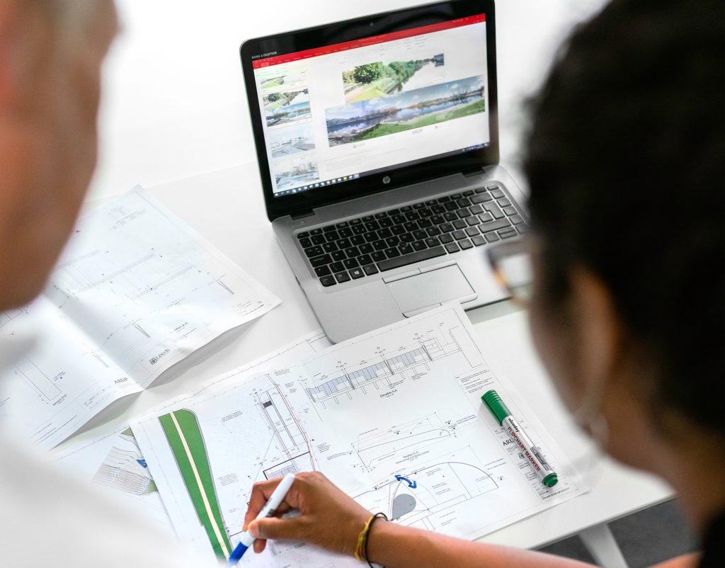
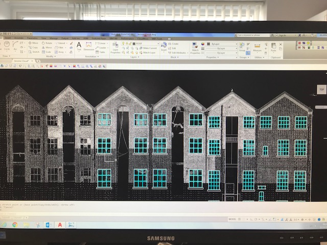
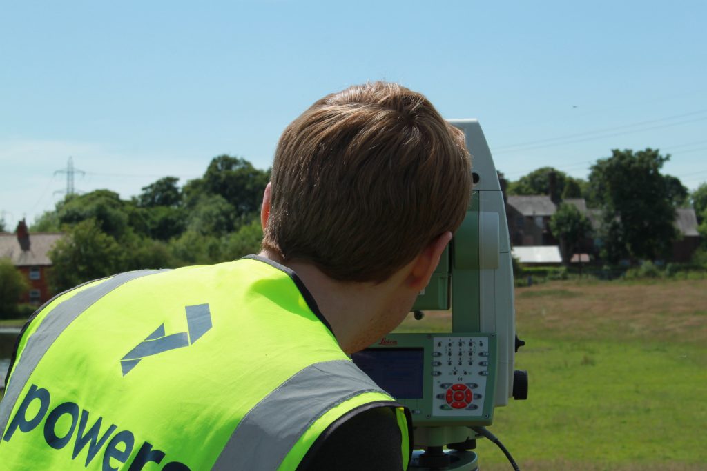
With our specialised skills, we’re able to provide accurate measurements, mapping of land, buildings and under the ground, providing survey drawings from which new construction plans and projects can be brought to life. Our expertise as land surveyors means we’re able to identify potential geospatial risks, provide the necessary data for design and construction and …

Read More

The greenest building is the one that already exists

This is a statement we at Powers stand firmly behind. We aim to be more sustainable and love working on forward-thinking projects to create a better environment. As magnificent as new buildings are, we need to think more sustainably. Some buildings are hundreds of years old and can be adapted or retrofitted to bring them …

Read More

Level 3 Geospatial Apprenticeship: what is it?

land surveyor in a field, using a total station to do a topographical survey

Why become a geospatial land surveyor? Becoming a land surveyor can be an incredibly rewarding career choice. Getting to work outdoors, and also using technical knowledge and problem-solving skills to help people measure, understand, and develop the land. As land surveyors, there will be opportunities to work with a variety of clients such as land …

Read More

Greenbelt VS. Brownfield land: a comparison of the two land types for housing

river running through a greenfield site

What is Green belt land? Green belt land acts as a divider between urban and rural areas. Green belt policy is a planning tool, and the goal of the green belt policy is to avoid urban sprawl by leaving land permanently open. The green belt land policy was introduced in 1947, by Town and Country …

Read More