When is a topographic survey not a topographic survey?

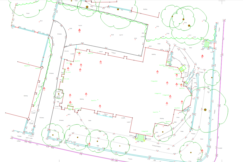
Drone surveys are an excellent way to capture spatial data quickly and effectively, but the finished drawing isn’t always as detailed or specific as a topographical survey drawing. When it comes to revisiting a drawing, years down the line, it’s easy to forget it was not a topographic drawing, to begin with, and therefore one …

Read More

Subsidence in commercial infrastructure

What is subsidence? Subsidence is the gradual sinking of the land’s surface, caused by natural processes or human activities such as mining, construction, or underground engineering work. It can also be caused by natural causes such as erosion, geological faults, sinkholes or even tree roots. But in the UK, it’s more often caused by human …

Read More

Topographical surveys: why are they so important?

a topographic drawing

The first step to any construction project is a topographical survey outlining the ground levels, features, and critical measurements of a piece of land for development. It may also include an underground services detection survey so that everyone is aware of any utilities or other obstructions that lie within your site boundary. Although this would …

Read More

Powers’ Professional Indemnity Insurance is now £5m

Professional Indemnity Insurance (PII) is vital when owning a geospatial surveying business and it provides reassurance to our clients when briefing work to us. Government agencies require their supply chain to have a high level of PII, to cover any eventuality on building projects and we are no exception. We are proud to have PII …

Read More