Powers carries out topographical survey on site of new commemorative woodland

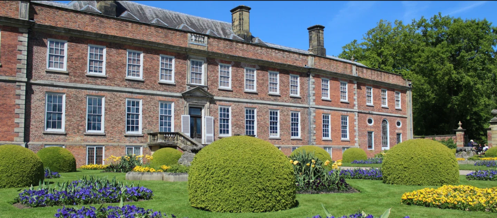
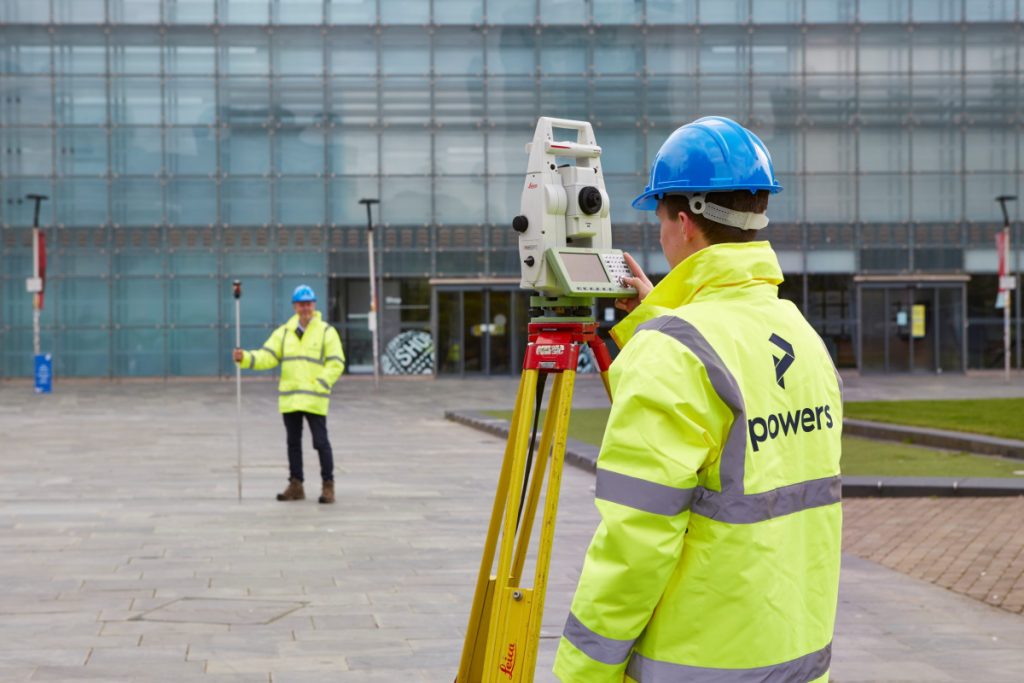
Project: Commemorative Woodland Site, Erddig Location: Erddig Hall, Wrexham Client: National Trust Principal contractor: Natural Resources Wales Powers involvement: Topographical survey of fields for redevelopment into a woodland site Project completion: June 2022 The project Owned by The National Trust, Erddig Hall has a long and vibrant history. It is a well-visited tourist destination, which …

Read More

What’s the difference?: Looking at the very different roles of geospatial and quantity surveyors

Making a distinction Because they are both involved in the broader construction industry, all surveyors are often lumped together into one category. Our type of surveyor involves surveying land and buildings, in terms of their dimensions, contents and features. A geospatial surveyor – also called a land or geomatics surveyor – measures and depicts the …

Read More

Why choose a career in Geospatial?

What is geospatial surveying? Geospatial, or land surveying, is the measurement and mapping of our surrounding environment using mathematics, specialised technology, and equipment. Surveyors can – and do – measure just about anything. The results can then be used to establish boundaries of an environment and understand the relationship between what you can see and …

Read More