…
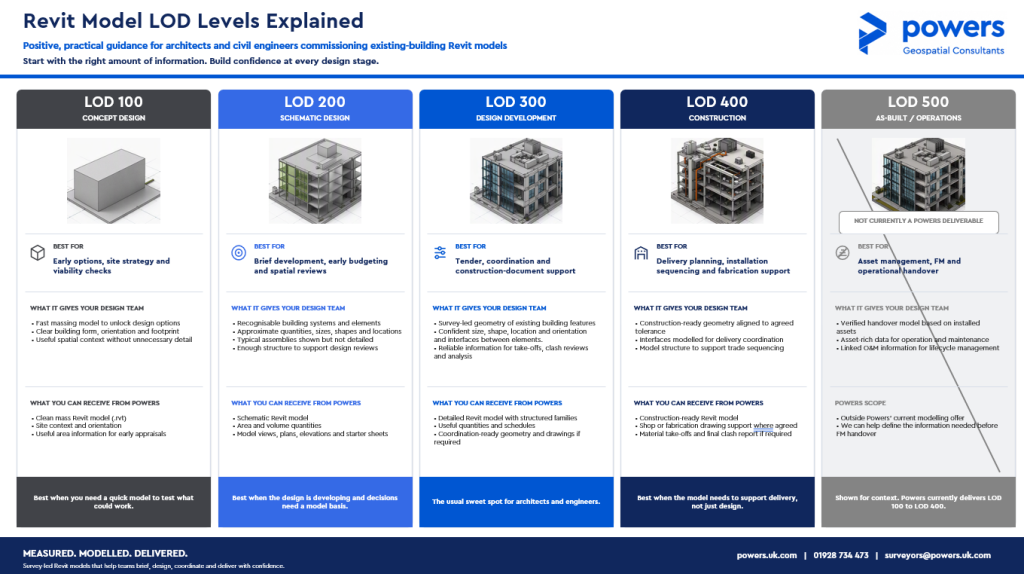
Revit LOD Levels Explained



Anything to do with our survey services
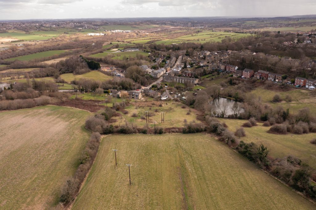
Viable options A site feasibility study is an easy way of looking at the potential for development of a site or existing building. Before any money is spent – even on drawings and designs – a study will map the site and what exists there, prior to any other work commencing. A feasibility study will …

Also known as ‘As Constructed’ surveys, this type of survey is usually produced at the end of a construction phase or when construction is complete. They are a definitive record of where buildings and other permanent features such as roads, pavements, walls and other aspects have been built. However, they can also be carried out …
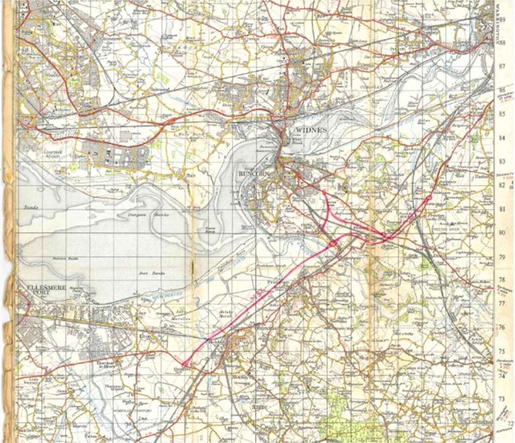
Early days “Eric Tiltman set up the original business known as EVE Tiltman. He was an engineering surveyor and my father, Mike Powers had worked with Eric on a few projects in the late 60s early 70s . Eric began to take on some larger projects and approached Mike to partner up with him. Mike and …
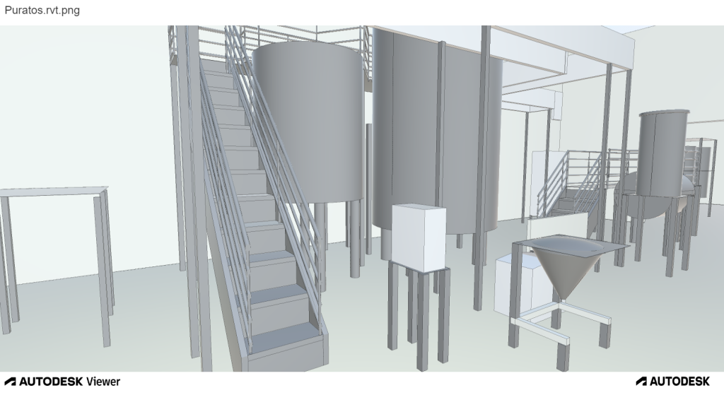
What is a Revit model? Revit is 3D building information modelling (BIM) software, widely used by architects, engineers, and contractors to create a digital single version of truth. This can then be used by all disciplines and trades throughout the project, to help complete their work. Revit was created to support BIM and not to …
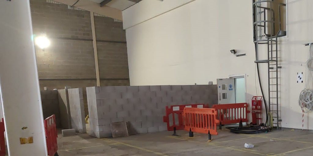
Interior designs When it comes to a new-build construction, a surveyor will be involved in every stage of the process. Having been on site from the planning stage, a surveyor may have carried out an initial topographical survey or underground utilities detection. This would have established the extent to which the site can be developed …

3D laser scanning can also be used for heritage surveys and conservation surveys, as well as volumetric surveys, where land/material mass can be calculated to create a desired outcome – for example, providing accurate areas of volumes for cut/fill balancing, or creating a mound or depression in the land to suit your design needs. What …
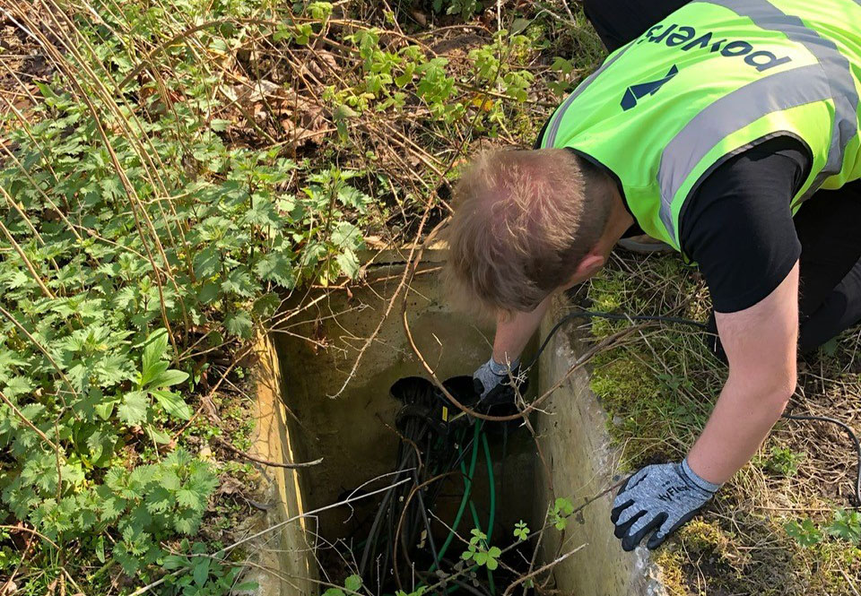
Why do I need an Underground Utilities Survey? You’ll most likely need an underground utilities survey if you are looking at developing a site for construction. It doesn’t matter if a site has been built on before – a brownfield site – or if it is undeveloped prior to the project – a greenfield site. …
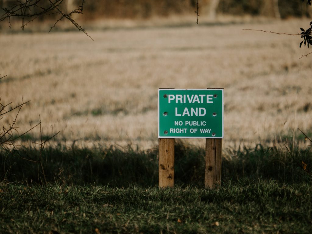
Degrees of accuracy It can be useful in unclear cases to have a Boundary Survey carried out. If you are involved in a boundary dispute, for example, having irrefutable proof will that be recognised legally will go a long way to proving your case. Boundary disputes can be messy affairs that can be very difficult …
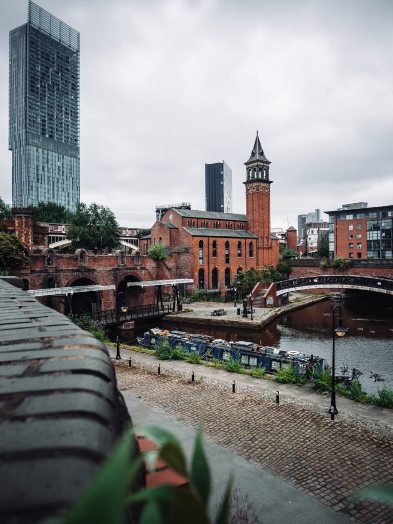
Why do you need a topographical survey? A topographical survey, often referred to as a topo, can be used for many reasons. It enables our clients to understand the boundaries of their land, the different ground levels across the site and the constraints and opportunities within it, as well as the impact of neighbouring structures. …