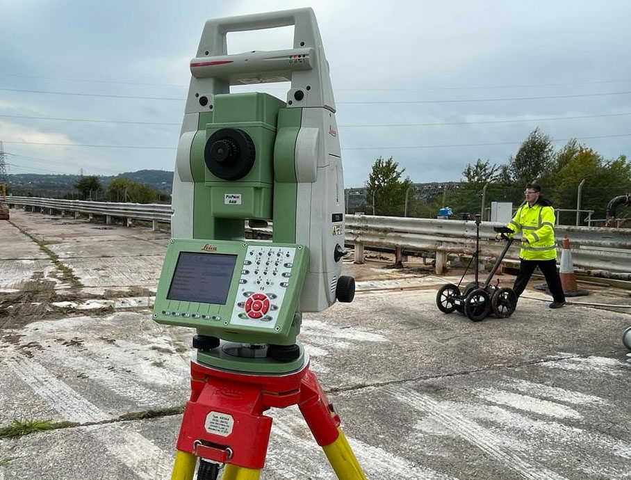
Why is it a good idea to get my measured building survey or underground services detection done at the same time as the topographic survey?

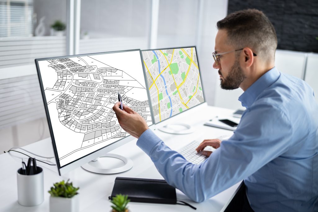
The level of detail a topo provides can help with the understanding – and create the visual representation – of the site. It will also establish what enabling work needs to be carried out before the start of construction, such as the scale of the earthworks required. However, despite this high level of detail, it …

Read More

Setting out for construction – the importance of accurate measurements

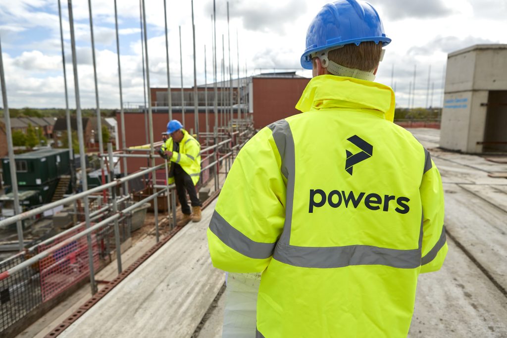
Two surveyors in Powers hi-vis

Accuracy essential in setting out With any discipline that involves dimensions, a very high degree of accuracy is essential when setting out buildings or infrastructure projects. Digital equipment and data recording allows little margin for error. Our professional site engineers ensure that all setting out is carried out with precision and efficiency, using a combination …

Read More

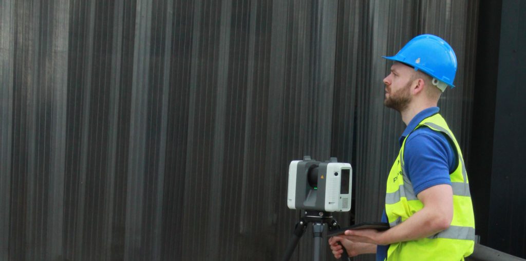
3D laser scanning: capturing millions of data points in moments

3D laser scanning

3D laser scanning can also be used for heritage surveys and conservation surveys, as well as volumetric surveys, where land/material mass can be calculated to create a desired outcome – for example, providing accurate areas of volumes for cut/fill balancing, or creating a mound or depression in the land to suit your design needs. What …

Read More

Everything starts with a measurement: the role of geospatial surveys in the built environment

Unless this is your profession or area of interest, there is a good chance you won’t have considered this. However, without well-educated and experienced surveyors, the consequences of inaccurate or no land surveys can be significant. Inaccurate measurements can lead to boundary disputes, costly errors, such as buildings being built in the wrong position or …

Read More