3D laser scanning: capturing millions of data points in moments

3D laser scanning

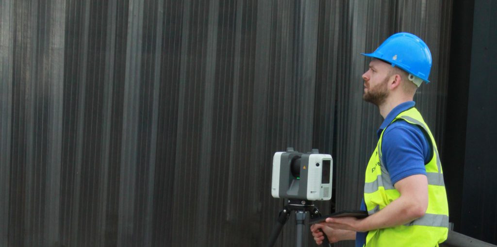
3D laser scanning can also be used for heritage surveys and conservation surveys, as well as volumetric surveys, where land/material mass can be calculated to create a desired outcome – for example, providing accurate areas of volumes for cut/fill balancing, or creating a mound or depression in the land to suit your design needs. What …

Read More

The future of surveying

According to Caitlin Ballard, international policy adviser at the Geospatial Commission: “Location is a thread that allows us to connect different datasets together to make them more useful. Geospatial technology is going to be increasingly embedded in our digital lives. Some commentators have recently coined the phrase ‘geoverse’ to articulate the critical role location data …

Read More

Everything starts with a measurement: the role of geospatial surveys in the built environment

Unless this is your profession or area of interest, there is a good chance you won’t have considered this. However, without well-educated and experienced surveyors, the consequences of inaccurate or no land surveys can be significant. Inaccurate measurements can lead to boundary disputes, costly errors, such as buildings being built in the wrong position or …

Read More