Setting out for construction – the importance of accurate measurements
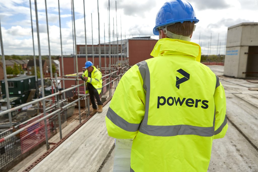
Two surveyors in Powers hi-vis

Accuracy essential in setting out With any discipline that involves dimensions, a very high degree of accuracy is essential when setting out buildings or infrastructure projects. Digital equipment and data recording allows little margin for error. Our professional site engineers ensure that all setting out is carried out with precision and efficiency, using a combination …

Read More

Powers director updates profession on geospatial apprenticeships

Trailblazing Lucy is co-chair of the apprenticeship trailblazer group and is currently talking to technical colleges across the country to encourage them to adopt the apprenticeship, along with the mandated level three Diploma in Geospatial Surveying qualification. She explained why there was a need for it and the barriers to it currently being more widely …

Read More

Using space wisely – surveying, car parks and EV innovation

Points of contact One area, for instance, is the need for consideration being given to the ability to recharge vehicles, to facilitate long journeys and lengthy battery timespans. This has led to a great deal of investment in infrastructure projects that have allowed far greater use of these vehicles on a national scale. EVs are …

Read More

Legends and monsters: understanding the importance of maps

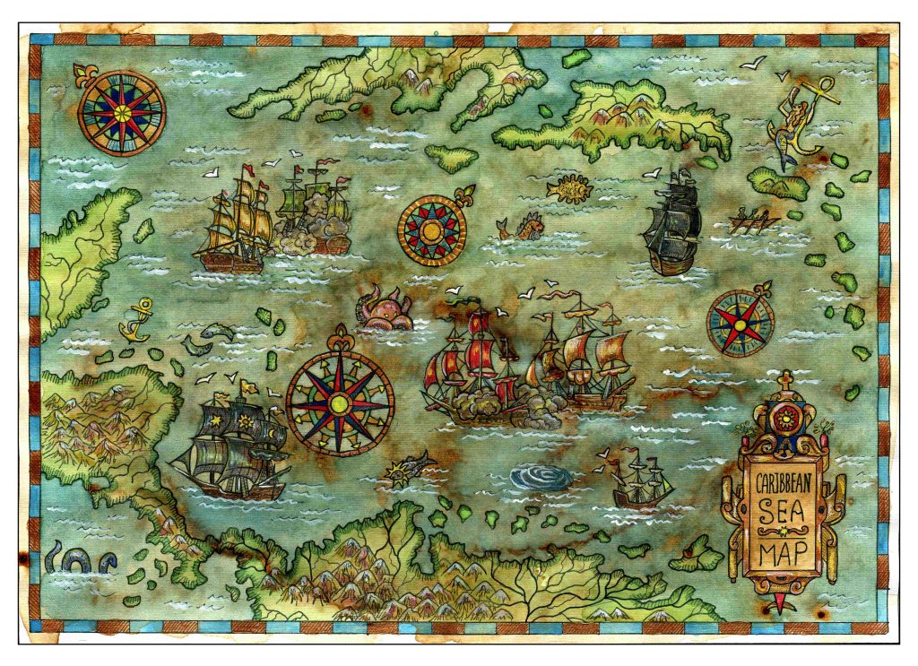
Charting through history: revolutionising the process and accuracy of mapmaking Mapmaking, or cartography, has been around ever since humans walked the Earth – and needed to record features and routes through local terrain. There’s no definitive answer as to who invented mapmaking, as prehistoric examples have been present in many cultures, from the earliest examples …

Read More

The future of surveying

According to Caitlin Ballard, international policy adviser at the Geospatial Commission: “Location is a thread that allows us to connect different datasets together to make them more useful. Geospatial technology is going to be increasingly embedded in our digital lives. Some commentators have recently coined the phrase ‘geoverse’ to articulate the critical role location data …

Read More

Everything starts with a measurement: the role of geospatial surveys in the built environment

Unless this is your profession or area of interest, there is a good chance you won’t have considered this. However, without well-educated and experienced surveyors, the consequences of inaccurate or no land surveys can be significant. Inaccurate measurements can lead to boundary disputes, costly errors, such as buildings being built in the wrong position or …

Read More