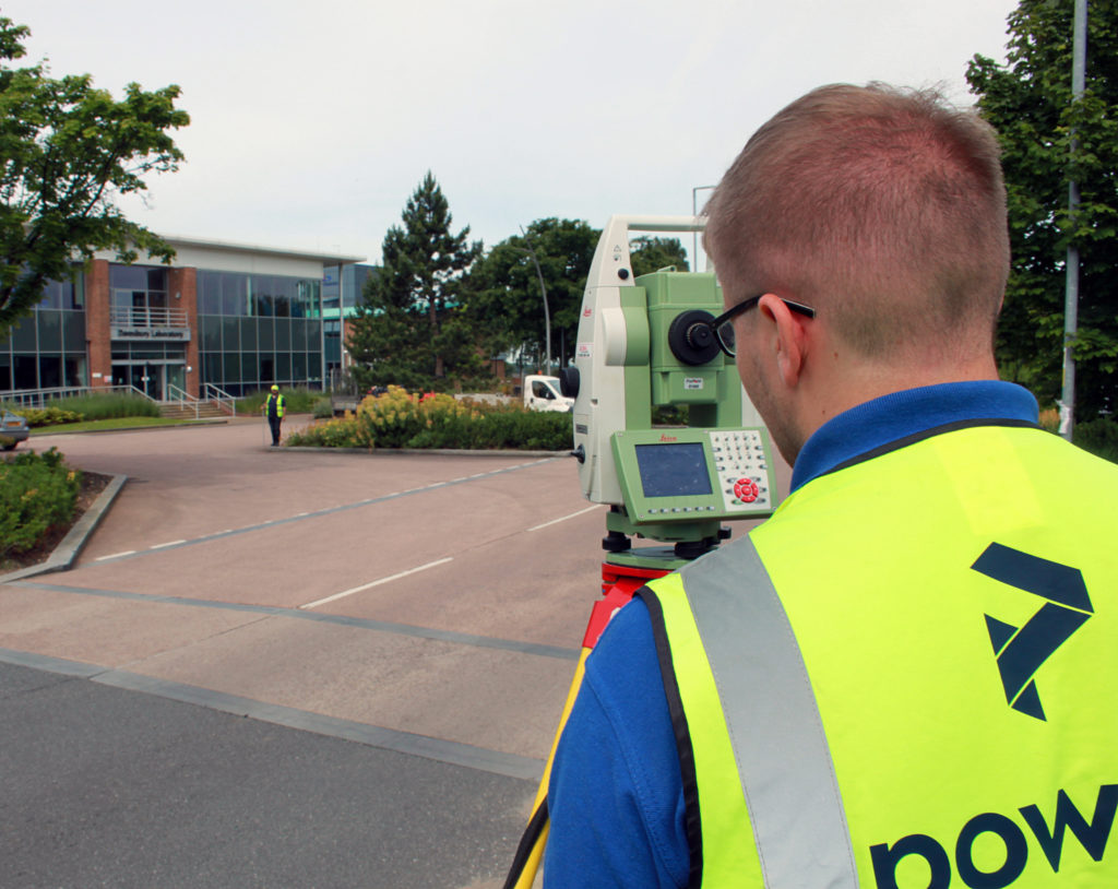
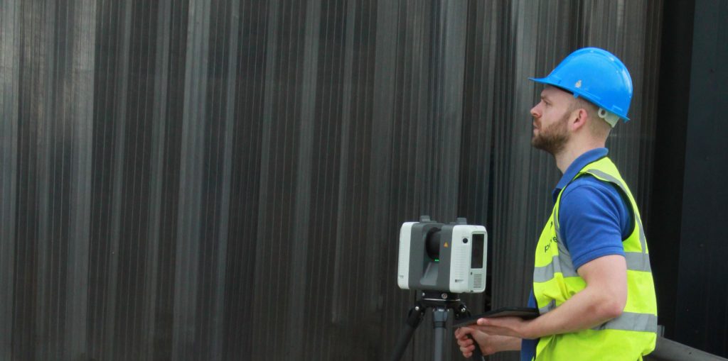
Originally from South Africa, Devon now works in the UK, developing his skills and experience within the profession. His expertise in Revit models and BIM has added an extra dimension to Powers measured building team. He creates models which are an accurate depiction of current buildings. Measured Building Surveys (MBS) map the structural elements and …
Powers surveyor profile – Devon Nock