Unknown Terrain – getting a Topographic survey and underground utility detection survey

Topographical survey drawing

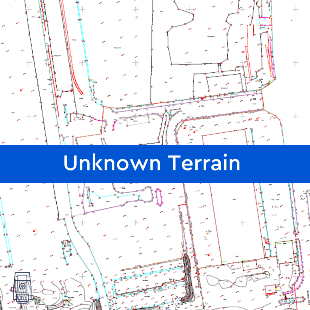
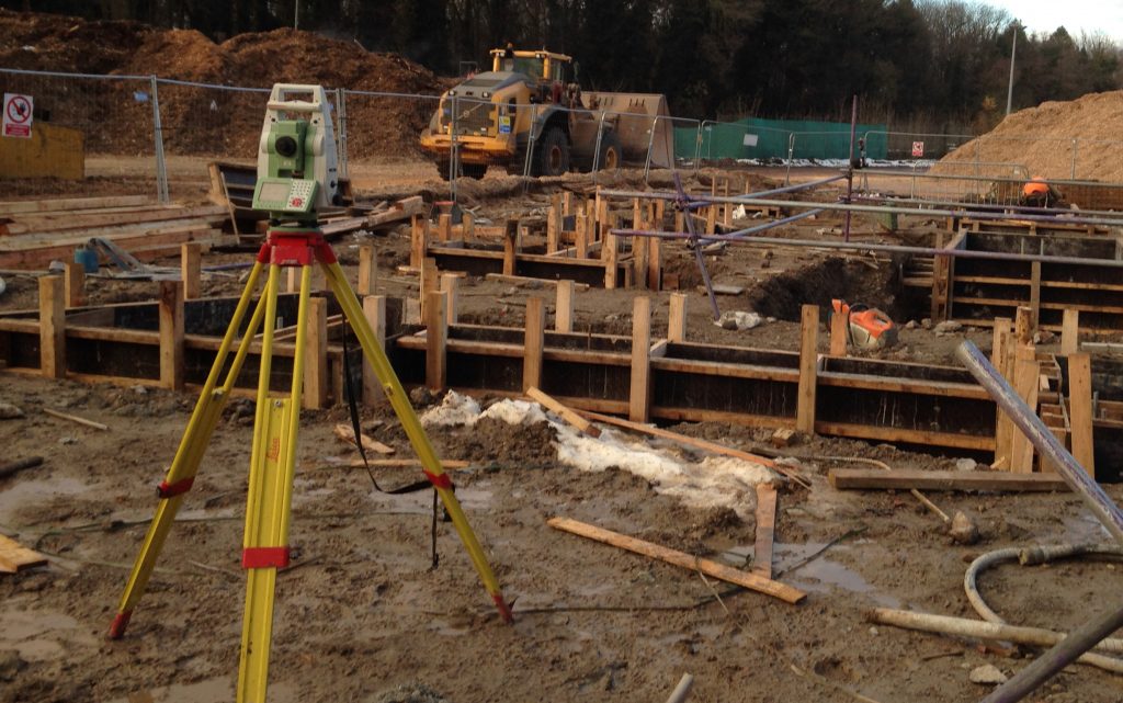
By assisting in the visualisation, measurement, and quantification of these sites, Powers can help reduce the unknown obstacles and their associated risks to your company before you make a full financial commitment, by providing you with a topographic survey or underground utility detection survey (utility mapping). Tell us what your needs are and our survey …

Read More

GPS, GPR and what is GPRS?!

Let’s start with the basics: what is GPS? GPS stands for Global Positioning System, a precise global navigation and surveying system that relies on signals from several orbiting satellites. GPS is commonly used when navigating using your phone or Satnav. The surveying profession was one of the first commercial adaptions of GPS, after being used …

Read More

Advantages of Underground Utility Mapping

Powers underground utility detection survey At Powers, we offer PAS 128 standard underground utility detection survey to Level B standard. This provides our clients with accurate information concerning underground cables, pipes, and services. What are the advantages of underground utility mapping? You and your crew will avoid putting construction workers at risk of clashing with …

Read More

The importance of setting out in the construction process

Station to station Engineers can be involved in many aspects of the construction process, and in all types of projects, from structural buildings to highways, drainage and earthworks. Previously they used manual equipment, such as a theodolite (for setting out) and a level (for height and depth level readings), but these days it’s mostly digital …

Read More