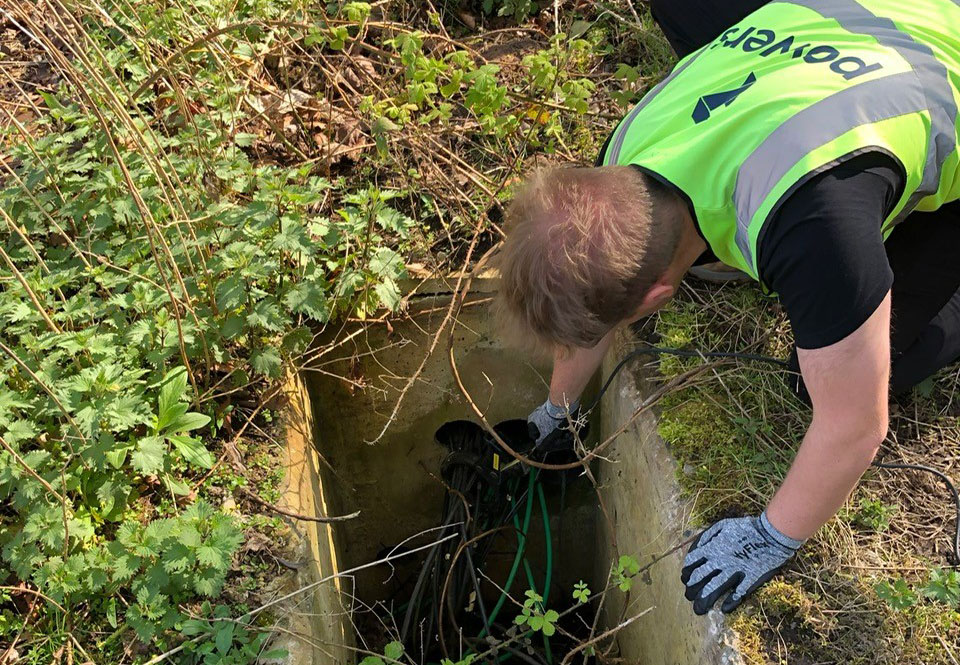
Into the unknown While surface topographical surveys will map what can be seen above ground, ground penetrating radar (GPR) is used to identify and pinpoint what is hidden from sight and buried underground. You’ll usually be looking at developing a site if you carry out an underground survey, but they can also be used for …
Month: January 2024
The PAS128 accreditation and why it’s important
Quality and accuracy As part of our geospatial survey offering, we can locate the presence or absence of underground services on prospective building sites. To do this, we use ground penetrating radar (GPR) and other electromagnetic equipment. As a member of the professional body, The Survey Association (TSA), our membership allows us to apply to …
Getting it right first time
Taking the initiative The Get It Right Initiative is a group of UK construction industry experts, organisations and businesses. They are working to actively improve productivity, quality, sustainability and safety in the construction sector, by striving to eliminate error. Its research is summarised in the initiative’s ‘Strategy for Change’ report, which sets out how it …