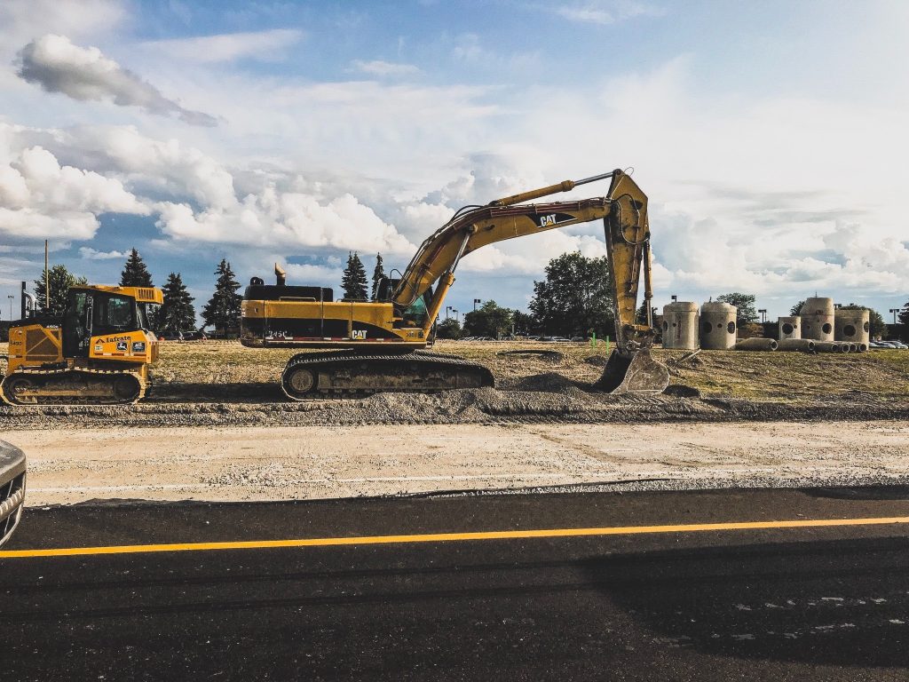
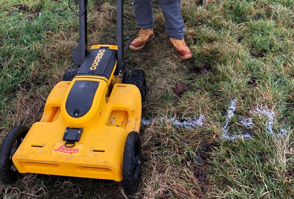
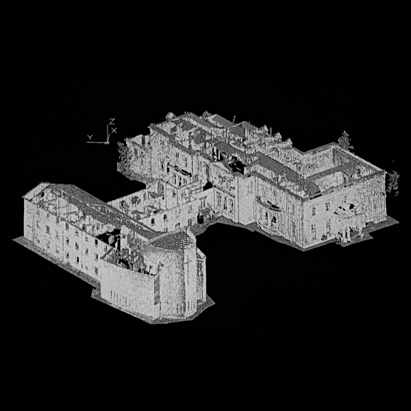
Topos or OS mapping? Ordnance Survey provides excellent maps, but these do not show the type of detail necessary for building work. They are simply not accurate enough when it comes to details of boundaries, for example, and they can also become outdated. Topos are used to show the features of the land being measured …
Topographical surveys – making sense of your site