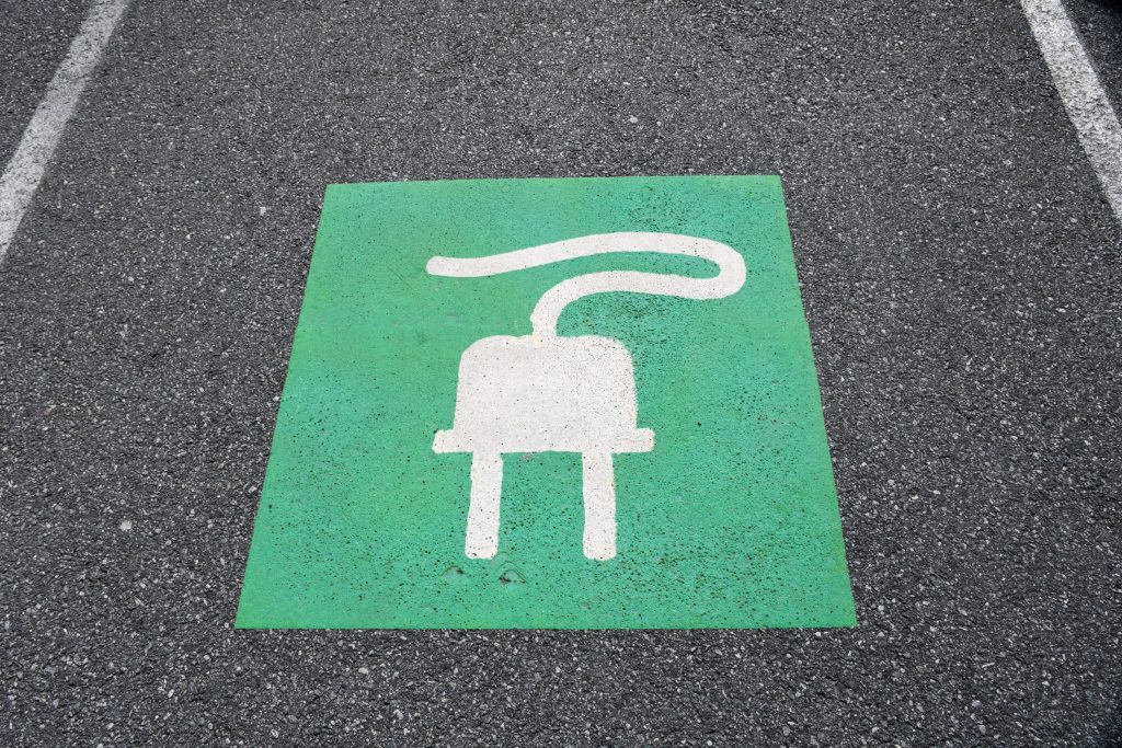
Points of contact One area, for instance, is the need for consideration being given to the ability to recharge vehicles, to facilitate long journeys and lengthy battery timespans. This has led to a great deal of investment in infrastructure projects that have allowed far greater use of these vehicles on a national scale. EVs are …
Month: September 2023
Exploring new dimensions – 3D ground modelling and volumetrics
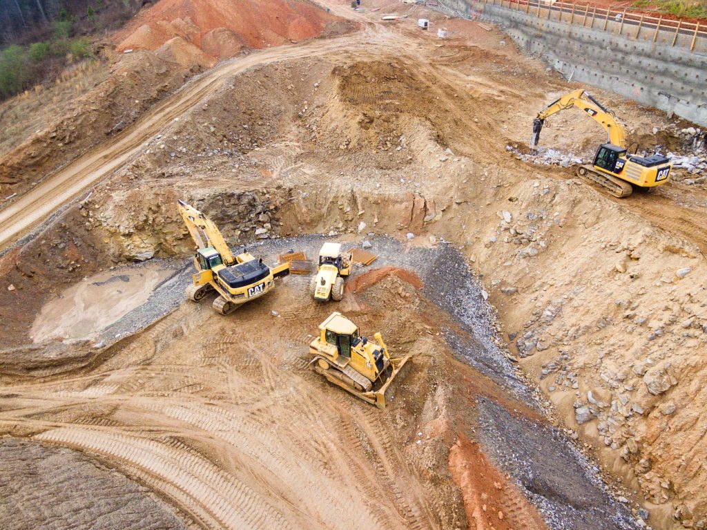
Modelling landscapes Ground modelling turns a topographical survey – with plotted levels and heights – into a 3D contoured or triangulated map. This provides a visual representation of the shape of the site measured. Before any work begins on site, an initial level survey of the area should be completed, in order to obtain accurate …
Benefits of an as-built survey
The finished article One of the aspects of our work that comes at the end of the construction project is an as-built survey. Also known as ‘as constructed’. This type of survey is usually produced when construction has been completed. They are used to illustrate where buildings, pavements, roads and other features have been built. …
Drone surveying VS topographical surveys
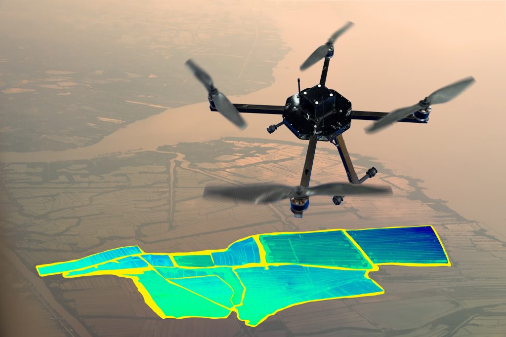
What is drone surveying? The method of gathering data from an airborne vantage point is drone surveying. By using a high-resolution image, the photos can be stitched together. These images each carry a set of 3D coordinates, which enables further processing to assemble them into a sketch. Autonomous drone mapping is the use of a …
How can I become a land surveyor?
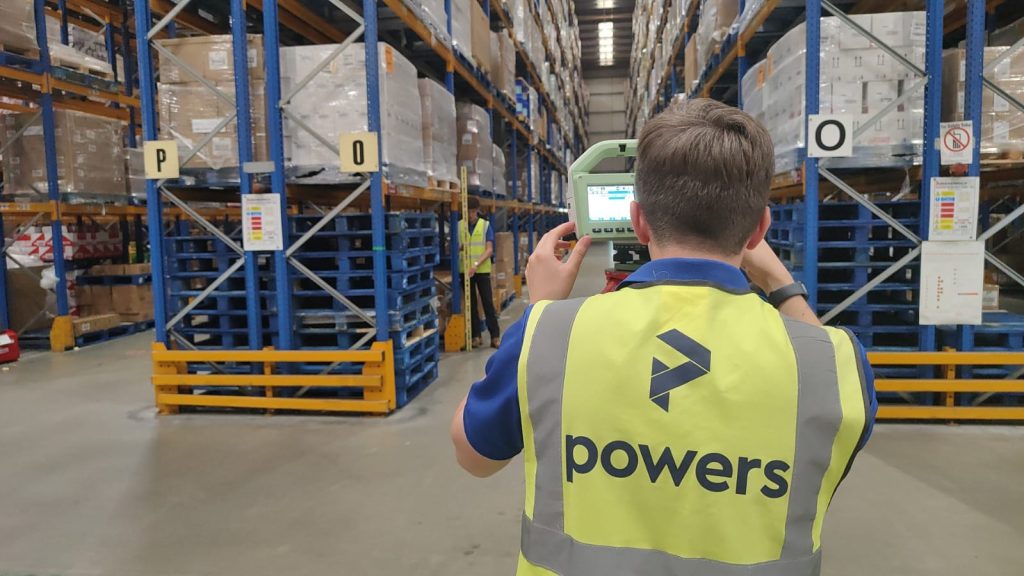
What does a land surveyor do? So you want to become a land surveyor? In all aspects of land or geospatial surveying, you will collect and analyse the data you capture to map what currently exists on a site. This information can be used in construction projects, on design drawings, for civil engineering projects or may …
The importance of innovation in surveying
The price of progress Surveying has evolved over centuries, but the basics of trigonometry, levels and points have remained constants in some form or another. They have been honed and developed, but the end results – such as the creation of new structures, the collection of data and the generation of topographical or underground surveys …