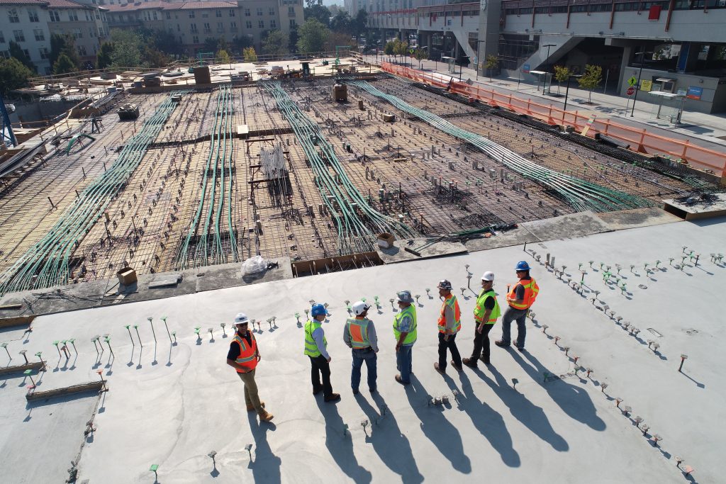
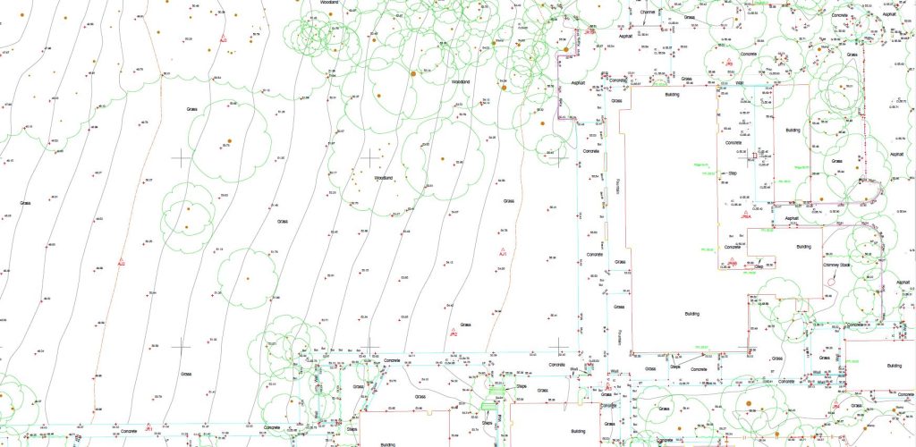
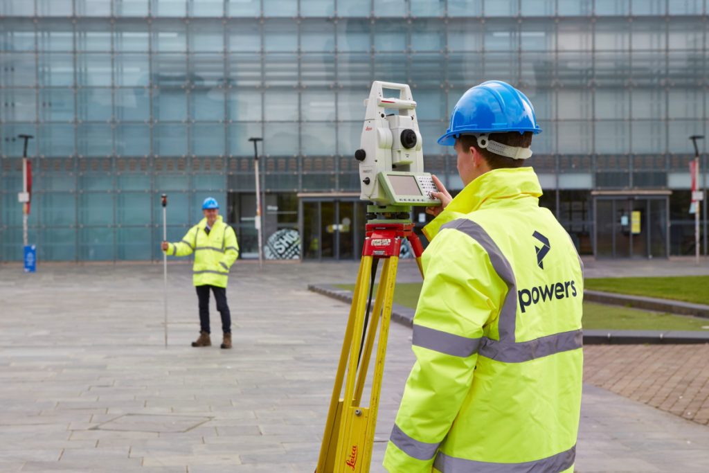
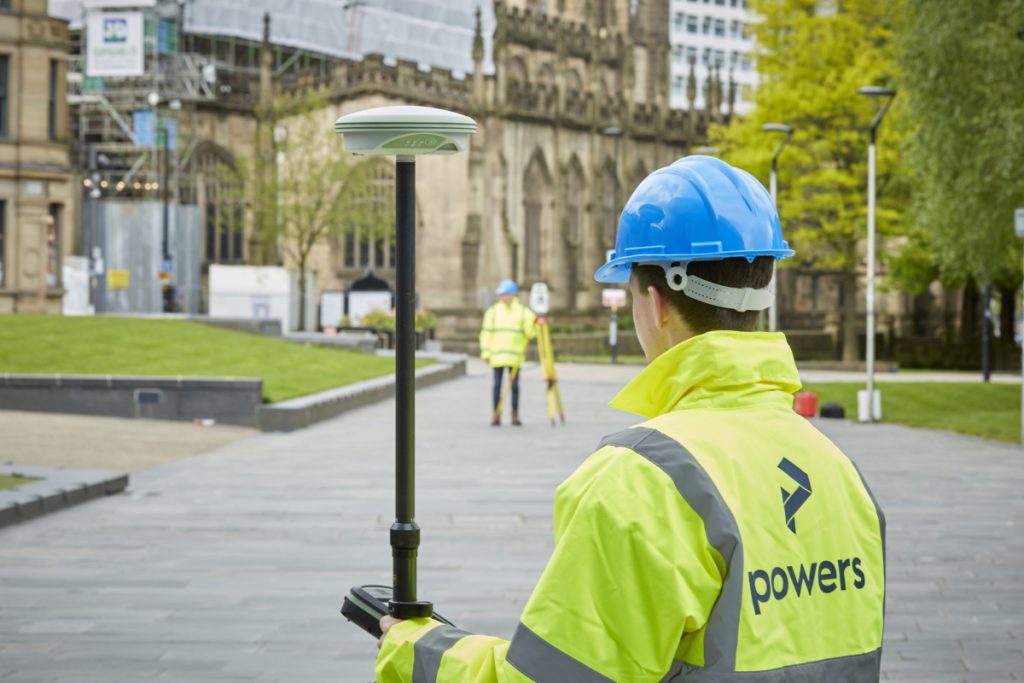
Making a distinction Because they are both involved in the broader construction industry, all surveyors are often lumped together into one category. Our type of surveyor involves surveying land and buildings, in terms of their dimensions, contents and features. A geospatial surveyor – also called a land or geomatics surveyor – measures and depicts the …
Category: News
Looking at the Big Picture
We can carry out these surveys for a number of reasons, from an evaluation of the plot’s worth, for a feasibility study (is a site worth developing or will it get planning), to a full-scale design or structural development before planning or construction begins on a project. These surveys can detail all kinds of …
Why choose a career in Geospatial?
What is geospatial surveying? Geospatial, or land surveying, is the measurement and mapping of our surrounding environment using mathematics, specialised technology, and equipment. Surveyors can – and do – measure just about anything. The results can then be used to establish boundaries of an environment and understand the relationship between what you can see and …
Could your project benefit from a desktop utility survey?
However, it is important to remember that a desktop search does not provide a full picture of what is actually present on site. In order to gain a better understanding of underground utilities without having to break ground, a level B underground utility detection survey can be carried out. If we can support you with …
National Apprenticeship Week 2023
Apprenticeships combine practical work experience with study, allowing apprentices to earn while they learn. This makes them a great option for those who want to gain real-world experience and increase their job prospects. It also means that apprentices can gain further education, free of the debt burden that comes with an expensive college or university …
Why Powers are championing KS3 Maths and Geography
Why champion geography and maths to KS3 children? High school is a great time to start exploring potential career paths. Parents of high school-aged students should encourage their children to pursue career paths that will lead to success and satisfaction. Land surveying encourages creative thinking and provides a sense of accomplishment and pride as surveyors …
Working with architects, civil engineers, technical and project managers
With our specialised skills, we’re able to provide accurate measurements, mapping of land, buildings and under the ground, providing survey drawings from which new construction plans and projects can be brought to life. Our expertise as land surveyors means we’re able to identify potential geospatial risks, provide the necessary data for design and construction and …
International day of Education
One of the most important aspects of this mentoring program is seeing how our senior surveyors interact with the apprentices. They are patient, kind and friendly, but they also don’t mince their words and tell it how it is when the occasion arises. They present a great example for our young staff members to follow. …
Using drones for land surveying
Drones are revolutionising the way we survey large pieces of land. With a drone, you can cover more ground in less time, and the aerial data collected can provide high-resolution images and detailed maps of the land. From infrastructure projects to land surveying, drones are making it easier to collect data quickly, accurately, and safely. …
Why in-house processing is the way forward
When it comes to working on a project, you want fast turnaround times, as time never seems to be on your side. Some survey companies will outsource their processing to other companies in other countries. This isn’t always a bad thing, as passing on geospatial data processing to an outsourced team means more people can …