Levels of detail At Powers, we have over 50 years of experience of working on all kinds of projects. Not just construction projects, but also engineering, scientific and environmental. When you are in the early stages of a project, our skilled team at Powers can work with you to ensure that we are surveying exactly …
Month: April 2024
Why is it a good idea to get my measured building survey or underground services detection done at the same time as the topographic survey?
The level of detail a topo provides can help with the understanding – and create the visual representation – of the site. It will also establish what enabling work needs to be carried out before the start of construction, such as the scale of the earthworks required. However, despite this high level of detail, it …
What is a complex topographical survey?
Backbone of the project Topographical surveys are the backbone of reliable construction project planning and design. Measured data gathered during a geospatial survey can be used in a number of ways and drawings are an important part of the design and construction process. Surveyors should be engaged to undertake ‘topo’ surveys, as they are informally …
Innovation: Digital twins and measured building surveys
The here and now A full measured building survey is used to create a digital twin. This is done by plotting the dimensions and scope of a building or structure as they stand. Measured building surveys of existing buildings are required by developers, planners, architects and local authorities, who want to document what currently exists. …
Measured building surveys – back to the drawing board
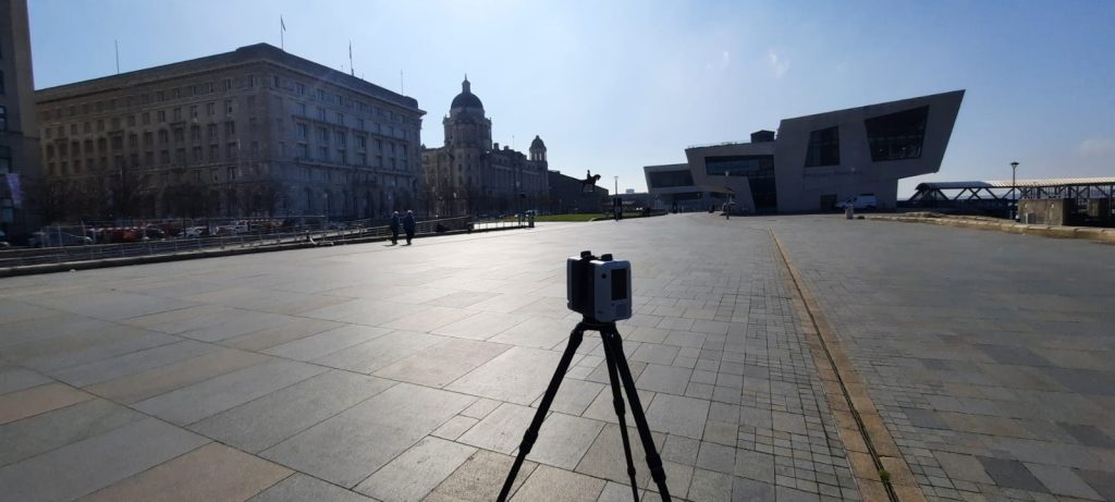
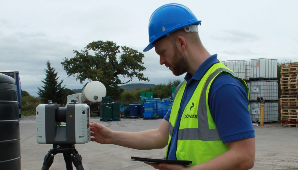
Time and place Measured building surveys are carried out using 3D laser scanners. The geospatial data gathered from the resulting point clouds is used to create digital 3D models or digital twins, elevations, floor plans and sections. This provides a snapshot of time and place in a structure’s lifecycle. They are an essential part of …