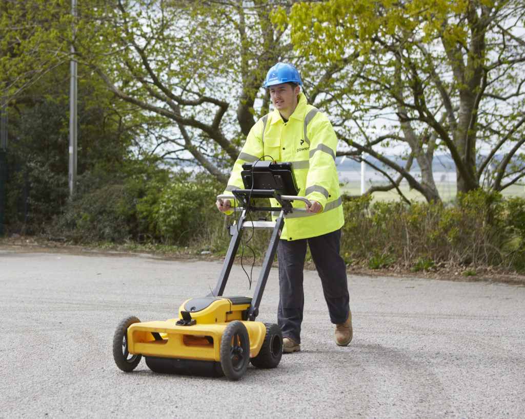
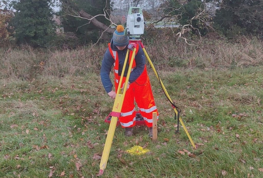
Just a typical day “A typical day would go something like this. Once I have arrived in the office and got a brew, I will check my emails and identify any jobs that need to be quoted for. I will make sure the utilities team know what they’re doing and where they need to be …
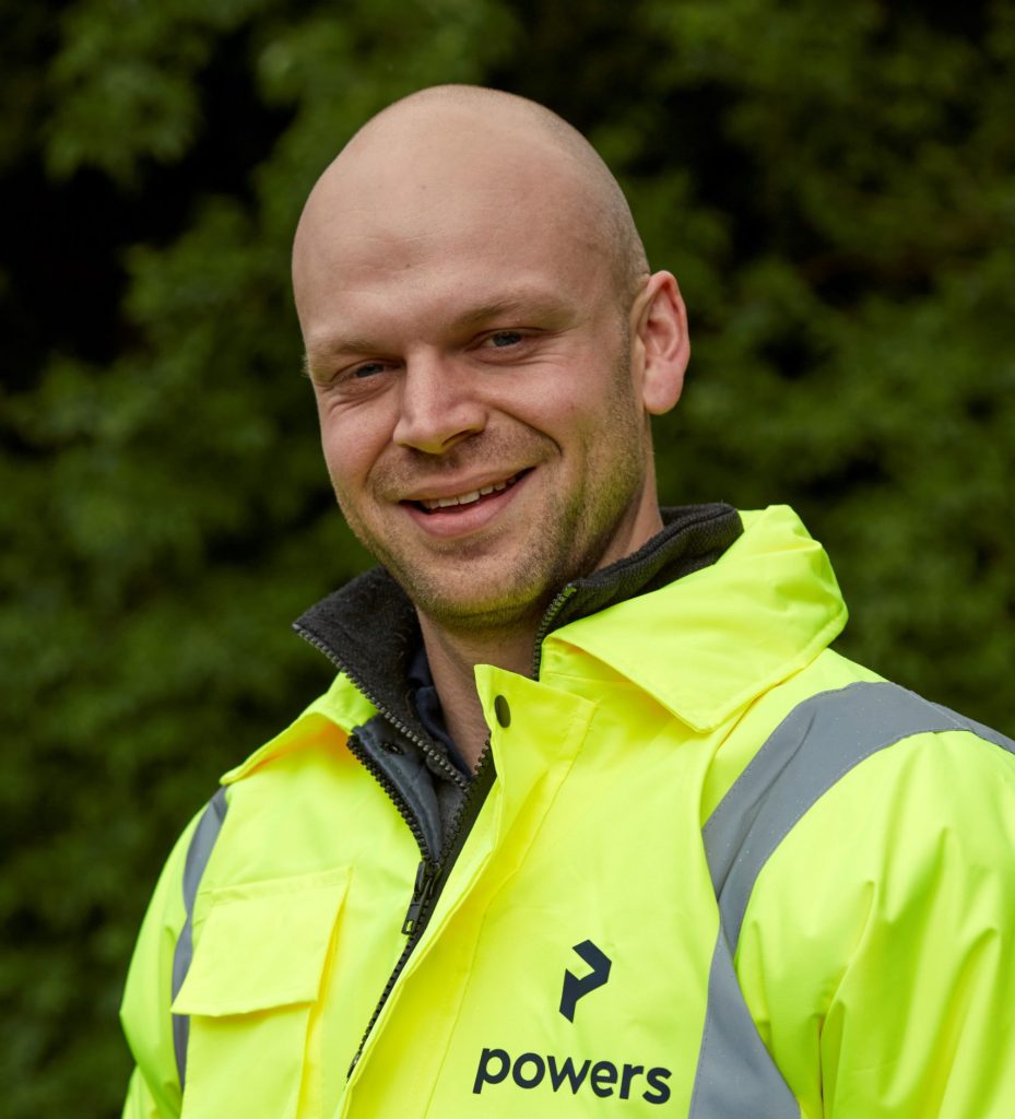
A day in the life of… Chris Snow, senior land and underground utilities surveyor at Powers