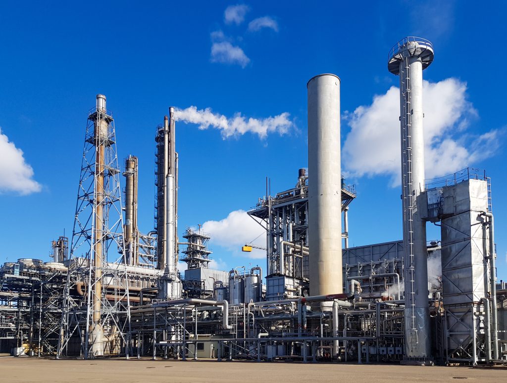
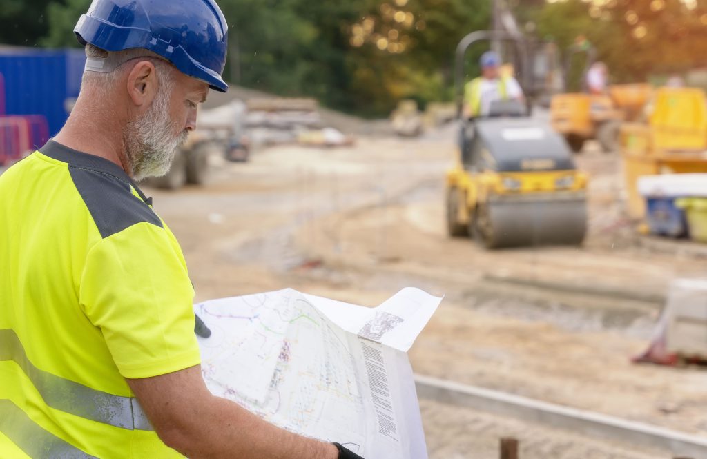
Industrial areas can include a multitude of different types of structure and building – from warehouses and storage facilities, to manufacturing plants or buildings housing industrial processes, such as oil refining or brewing for instance. These sites offer some real challenges that are unique for surveyors and have to be approached in a different way …
A working challenge: Surveying industrial landscapes