The Geospatial Commission was established in 2018 by the government as an expert committee responsible for setting the UK’s geospatial strategy and coordinating public sector geospatial activity. It is part of the Department for Science, Innovation and Technology, playing a crucial role to deliver improved public services, create new better-paid jobs and grow the economy. …
Month: July 2023
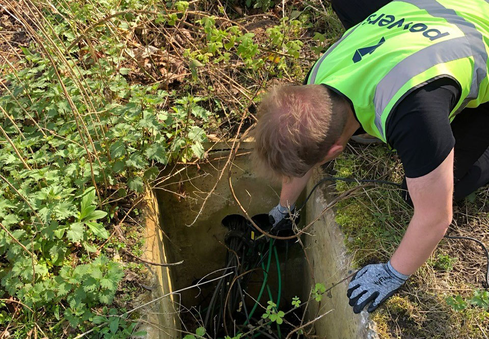
A few ground rules on Underground Utilities Surveys
Why do I need an Underground Utilities Survey? You’ll most likely need an underground utilities survey if you are looking at developing a site for construction. It doesn’t matter if a site has been built on before – a brownfield site – or if it is undeveloped prior to the project – a greenfield site. …
Why do I need a Boundary Survey?
Degrees of accuracy It can be useful in unclear cases to have a Boundary Survey carried out. If you are involved in a boundary dispute, for example, having irrefutable proof will that be recognised legally will go a long way to proving your case. Boundary disputes can be messy affairs that can be very difficult …
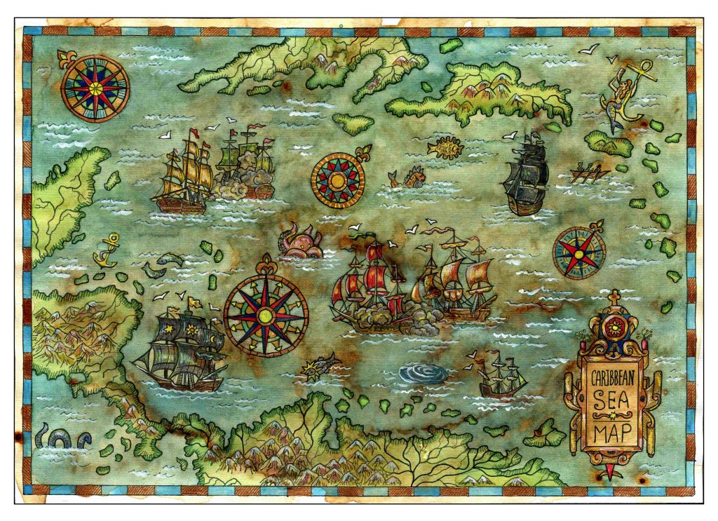
Legends and monsters: understanding the importance of maps
Charting through history: revolutionising the process and accuracy of mapmaking Mapmaking, or cartography, has been around ever since humans walked the Earth – and needed to record features and routes through local terrain. There’s no definitive answer as to who invented mapmaking, as prehistoric examples have been present in many cultures, from the earliest examples …