On 4 March 2026, World Engineering Day for Sustainable Development recognises the vital role engineers play in shaping a smarter and more sustainable future through innovation and digitalisation. …
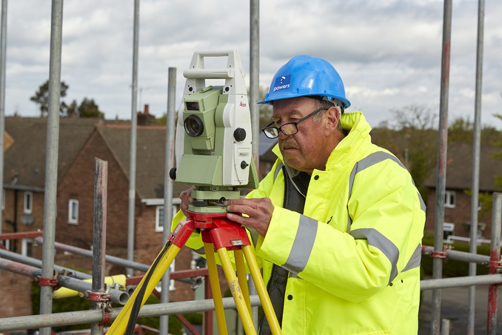
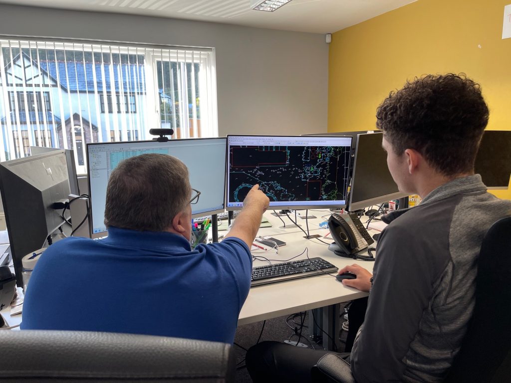
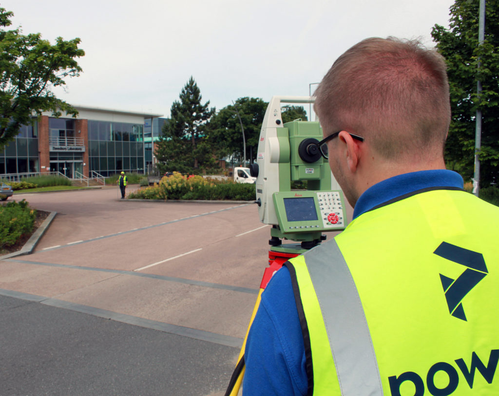
A Day in the Life of Kevin Hayes – Site Engineer at Powers